
Brownsville in Cameron County, Texas — The American South (West South Central)
Fort Brown, Texas
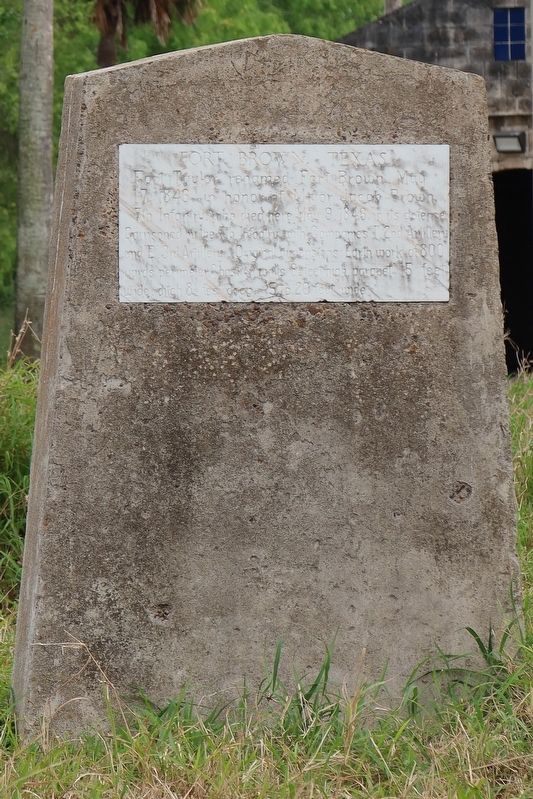
Photographed by Brian Anderson, March 26, 2025
1. Fort Brown, Texas Marker
Erected 1938 by Lieut. Thomas Barlow Chapter, D.A.R. (Marker Number 1971.)
Topics and series. This historical marker is listed in this topic list: War, Mexican-American. In addition, it is included in the Daughters of the American Revolution (DAR) series list. A significant historical date for this entry is May 17, 1846.
Location. 25° 53.42′ N, 97° 29.539′ W. Marker is in Brownsville, Texas, in Cameron County. It is on River Levee Road 0.3 miles south of West University Boulevard, on the left when traveling west. Marker is located on the grounds of the former Fort Brown Memorial Golf Course. Touch for map. Marker is in this post office area: Brownsville TX 78520, United States of America. Touch for directions.

Regionally, this marker is in South Texas. It is also in the American South and on the Gulf Coast. Globally, it is in North America, a Gulf of Mexico state, the Western Hemisphere, the Western World, and the Anglosphere. Historically, it finds itself in what was once New Spain, the Republic of Texas, and one of the Confederate States of America.
Other nearby markers. At least 8 other markers are within walking distance of this marker: Neale Home (approx. 0.3 miles away); Neale House (approx. 0.3 miles away); a different marker also named Neale House (approx. 0.3 miles away); The Oldest House in Brownsville (approx. 0.3 miles away); Cavalry Building (approx. half a mile away); Fort Brown Cavalry Barracks (approx. half a mile away);
this page online
Regarding Fort Brown, Texas. Source HISTORICAL MARKERS OF LT. THOMAS BARLOW CHAPTER
"A cannon was placed within the breast works of the old earthen Fort Brown in 1942 by Mrs. Davenport, historian, replacing the original by marble, which was erected by General Zachary Taylor in April 1846, who left Major Jacob Brown in command. Maj. Brown was killed defending the fort May 9, 1846. In 1938 the original was reconstructed with a marble plaque mounted in concrete."
Also see . . . Fort Brown - The Handbook of Texas Online. Texas State Historical Association (TSHA) (Submitted on April 12, 2025, by Brian Anderson of New Albany, Ohio.)

Photographed by Brian Anderson, March 26, 2025
2. Fort Brown, Texas Marker
Credits. This page was last revised on July 1, 2025. It was originally submitted on April 12, 2025, by Brian Anderson of New Albany, Ohio. This page has been viewed 395 times since then and 149 times this year. Last updated on June 30, 2025, by Carolyn Sanders of Plano, Texas. Photos: 1, 2. submitted on April 12, 2025, by Brian Anderson of New Albany, Ohio. • James Hulse was the editor who published this page.
