Marker Logo
THE HISTORICAL
MARKER DATABASE
“Bite-Size Bits of Local, National, and Global History”
Westlake in Tarrant County, Texas — The American South (West South Central)
 

Mahotea Boone Trail
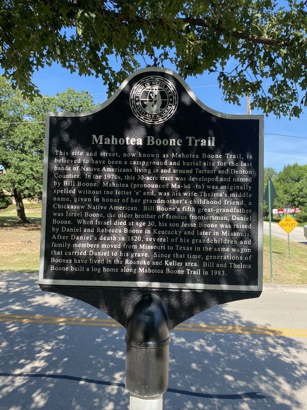
 
 
Mahotea Boone Trail Marker image. Click for full size.
Photographed by Morgan Petermann, June 30, 2025
1. Mahotea Boone Trail Marker
Inscription. This site and street, now known as Mahotea Boone Trail, is believe to have been a campground and burial site for the last bands of Native Americans living in and around Tarrant and Denton Counties. In the 1970s, this 30-acre tract was developed and named by Bill Boone. Mahotea (pronounced Ma-ho-ta) was originally spelled without the letter 'e' and, was his wife Thelma's middle name, given in honor of her grandmother's childhood friend, a Chickasaw Native American. Bill Boone fifth great-grandfather was Israel Boone, the older brother of famous frontiersman, Daniel Boone. When Israel died at age 30, his son Jesse Boone was raised by Daniel and Rebecca Boone in Kentucky and later in Missouri. After Daniel's death in 1820, several of his grandchildren and family members moved from Missouri to Texas in the same wagon that carried Daniel to his grave. Since that time, generations of Boones have lived in the Roanoke and Keller area. Bull and Thelma Boone built a log home along Mahotea Boone Trail in 1983.
 
Erected by Town of Westlake, Westlake Academy.
 
Topics. This historical marker is listed in this topic list: Settlements & Settlers. A significant historical year for this entry is 1820.
 
Location. 32° 58.782′ N,
Paid Advertisement
Click or scan to see
this page online
97° 12.684′ W. Marker is in Westlake, Texas, in Tarrant County. It is at the intersection of J T Ottinger Road and Mahotea Boone Trail, on the right when traveling north on J T Ottinger Road. Touch for map. Marker is at or near this postal address: 2301 J T Ottinger Rd, Roanoke TX 76262, United States of America. Touch for directions.

Regionally, this marker is in the Prairies & Lakes Region and in the Dallas-Fort Worth Metropolitan Area. It is also in the American South. Globally, it is in North America, a Gulf of Mexico state, the Western Hemisphere, the Western World, and the Anglosphere. Historically, it finds itself in what was once New Spain, the Republic of Texas, and one of the Confederate States of America.

Other nearby markers. At least 8 other markers are within 2 miles of this marker, measured as the crow flies: Westlake and the Cross Timbers (approx. 0.4 miles away); Possum Trot School (approx. half a mile away); Roanoke I.O.O.F. Cemetery (approx. Ύ mile away); Buck T. King Homestead (approx. Ύ mile away); Westlake and the Circle T Ranch (approx. 0.8 miles away); Star Stagecoach Route
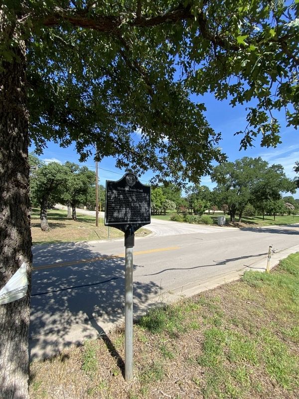
Mahotea Boone Trail Marker image. Click for full size.
Photographed by Morgan Petermann, June 30, 2025
2. Mahotea Boone Trail Marker
(approx. 1.3 miles away); Roanoke (approx. 1.7 miles away); Roanoke Water Tower (approx. 1.7 miles away). Touch for a list and map of all markers in Westlake.
 
 
Credits. This page was last revised on July 1, 2025. It was originally submitted on June 30, 2025, by Morgan Petermann of Hurst, Texas. This page has been viewed 230 times since then and 69 times this year. Photos:   1, 2. submitted on June 30, 2025, by Morgan Petermann of Hurst, Texas. • James Hulse was the editor who published this page.

m=277054

CeraNet Cloud Computing sponsors the Historical Marker Database.
This website earns income from purchases you make after using our links to Amazon.com. We appreciate your support.
Paid Advertisement
Jul. 19, 2026
