Westlake in Tarrant County, Texas — The American South (West South Central)
Westlake and the Cross Timbers
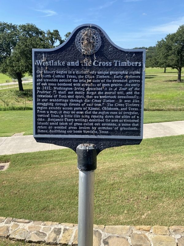
Photographed by Morgan Petermann, June 30, 2025
1. Westlake and the Cross Timbers Marker
Erected by Town of Westlake, Westlake Academy.
Topics. This historical marker is listed in this topic list: Settlements & Settlers. A significant historical year for this entry is 1832.
Location. 32° 59.088′ N,
this page online

Regionally, this marker is in the Prairies & Lakes Region and in the Dallas-Fort Worth Metropolitan Area. It is also in the American South. Globally, it is in North America, a Gulf of Mexico state, the Western Hemisphere, the Western World, and the Anglosphere. Historically, it finds itself in what was once New Spain, the Republic of Texas, and one of the Confederate States of America.
Other nearby markers. At least 8 other markers are within 2 miles of this marker, measured as the crow flies: Mahotea Boone Trail (approx. 0.4 miles away); Roanoke I.O.O.F. Cemetery (approx. 0.4 miles away); Possum Trot School (approx. 0.6 miles away); Westlake and the Circle T Ranch (approx. 0.9 miles away); Buck T. King Homestead (approx. 1.1 miles away); Roanoke Water Tower (approx. 1.4 miles away); Roanoke (approx. 1.4 miles away); Silver Spur Saloon (approx.
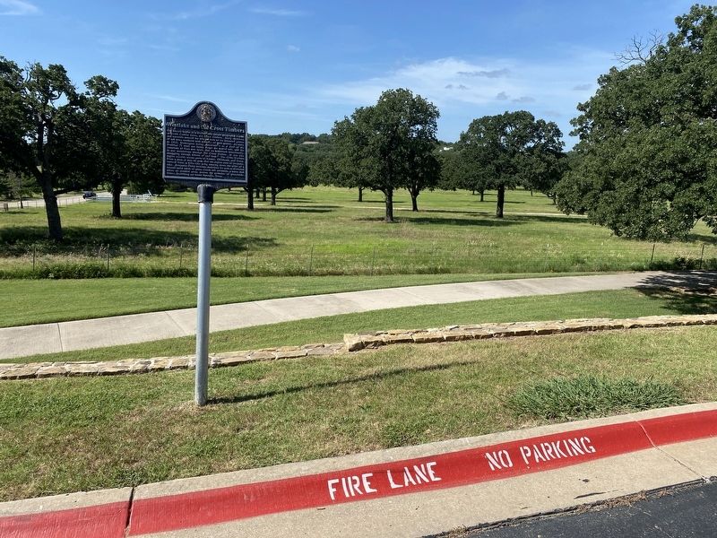
Photographed by Morgan Petermann, June 30, 2025
2. Westlake and the Cross Timbers Marker
Credits. This page was last revised on July 1, 2025. It was originally submitted on June 30, 2025, by Morgan Petermann of Hurst, Texas. This page has been viewed 150 times since then and 43 times this year. Photos: 1, 2. submitted on June 30, 2025, by Morgan Petermann of Hurst, Texas. • James Hulse was the editor who published this page.
