Near Andrews in Williamsburg County, South Carolina — The American South (South Atlantic)
Black Mingo Presbyterian Meeting House
Inscription.
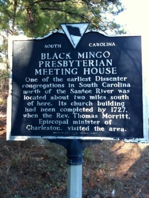
[Front]:
One of the earliest Dissenter congregations in South Carolina north of the Santee River was located about two miles south of here. Its church building had been completed by 1727 when the Rev. Thomas Morritt, Episcopal minister of Charleston, visited the area.
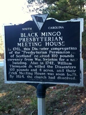
[Reverse]:
In 1742, this Dissenter congregation of the "Presbyterian Persuasion...of Scotland" received 100 pounds currency from Wm. Swinton for a new building. Also in 1742, William Thompson, Jr., willed the Dissenters 100 pounds and 4 acres, and their brick meeting house was soon built. By 1824, the church had dissolved.
Erected 1982 by Three Rivers Historical Society. (Marker Number 45-7.)
Topics and series. This historical marker is listed in these topic lists: Churches & Religion • Colonial Era. In addition, it is included in the South Carolina, Williamsburg County, Three Rivers Historical Society series list. A significant historical year for this entry is 1727.
Location. 33° 36.137′ N, 79° 26.427′ W. Marker is near Andrews, South Carolina, in Williamsburg County. Marker is on County Line Road (State Highway 41) half a mile north of State Highway 51, on the left when traveling north. Touch for map. Marker is in this post office area: Georgetown SC 29440, United States of America. Touch for directions.
Other nearby markers. At least 10 other markers are within 10 miles of this marker, measured as the crow flies. Black Mingo – Willtown / Black Mingo Baptist Church (approx. 1.1 miles away); Black Mingo Creek: (approx. 1.4 miles away); Skirmish At Black Mingo Creek (approx. 1˝ miles away); Birthplace of Jeremiah John Snow / China Grove Plantation (approx. 2.3 miles away); Prince George Winyah Parish / Prince Frederick’s Parish (approx. 5˝ miles away); Benjamin Britton Chandler (1854–1925) (approx. 5.7 miles away); Pleasant Hill School (approx. 6.9 miles away); Pleasant Hill Baptist Church (approx. 6.9 miles away); Early Settlers / Potatoe Ferry (approx. 9.4 miles away); Mt. Zion A.M.E. Church (approx. 10 miles away). Touch for a list and map of all markers in Andrews.
Credits. This page was last revised on June 16, 2016. It was originally submitted on February 9, 2010, by David Bullard of Seneca, South Carolina. This page has been viewed 2,150 times since then and 60 times this year. Last updated on February 19, 2010, by David Bullard of Seneca, South Carolina. Photos: 1, 2. submitted on February 9, 2010, by David Bullard of Seneca, South Carolina. 3. submitted on February 23, 2010, by J. J. Prats of Powell, Ohio. • Craig Swain was the editor who published this page.


