
Longyearbyen, Spitsbergen Islands, Norway — Northern Europe (a Nordic Country in Scandinavia)
John Munro Longyear
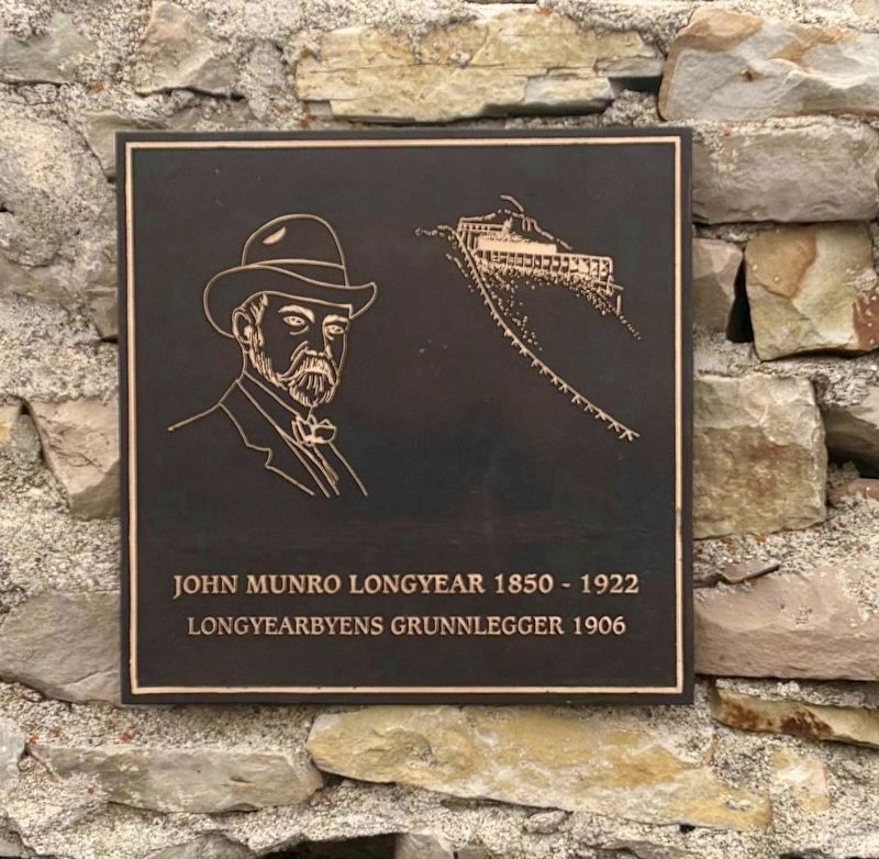
Photographed by Connor Olson, June 30, 2025
1. John Munro Longyear Marker

Longyearbyens Grunnlegger 1906
Topics. This historical marker is listed in this topic list: Settlements & Settlers. A significant historical year for this entry is 1906.
Location. 78° 13.09′ N, 15° 36.996′ E. Marker is in Longyearbyen, Svalbard (Spitsbergen Islands). It is on Vei 300 south of Vei 302, on the left when traveling north. Touch for map. Marker is in this post office area: Longyearbyen, Svalbard 9170, Norway. Touch for directions.

Regionally, it is in the North Atlantic Region, on the Atlantic Arc, in Europe, in Atlantic Europe, in Scandinavia, in the Nordic Countries, in the Schengen Area, and in the Western World.
Other nearby markers. At least 3 other markers are within 5 kilometers of this marker, measured as the crow flies: The town's founder John Munro Longyear (a few steps from this marker); Battle of Spitsbergen Memorial (approx. half a kilometer away); Safeguarding Seeds for Future Generations (approx. 3.6 kilometers away).
Also see . . . John Munro Longyear (Wikipedia). Overview:
John Munro Longyear Sr.(Submitted on July 1, 2025.)(April 15, 1850 – May 28, 1922) was an American businessman and noted developer of timber and mineral lands in the Upper Peninsula of Michigan and Minnesota who became the central figure behind the Arctic Coal Company, which surveyed and mined coalfields on Spitsbergen, from 1905 to 1916. This company developed a settlement on Spitsbergen able to accommodate up to around 500 people which became known as Longyear City, now Longyearbyen, adjacent Advent Bay.
Click or scan to see
this page online
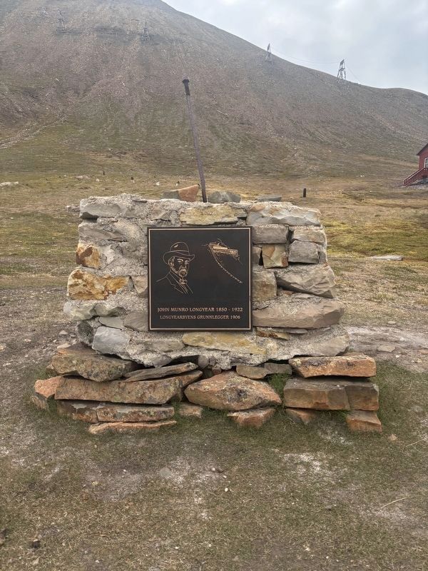
Photographed by Connor Olson, June 30, 2025
2. John Munro Longyear Marker
Credits. This page was last revised on July 1, 2025. It was originally submitted on July 1, 2025, by Connor Olson of Menomonee Falls, Wisconsin. This page has been viewed 127 times since then and 45 times this year. Photos: 1, 2. submitted on July 1, 2025, by Connor Olson of Menomonee Falls, Wisconsin. • Andrew Ruppenstein was the editor who published this page.
