
Neola in Duchesne County, Utah — The American Mountains (Southwest)
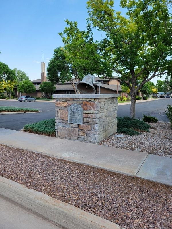
The Bell of Neola

Photographed by Jeremy Snow, June 27, 2025
1. The Bell of Neola Marker
Neola is an Indian name meaning: the last move.
Erected 1951 by Daughters of Utah Pioneers. (Marker Number 163.)
Topics and series. This historical marker is listed in this topic list: Settlements & Settlers. In addition, it is included in the Daughters of Utah Pioneers, and the Historic Bells series lists. A significant historical year for this entry is 1906.
Location. 40° 25.972′ N, 110° 1.871′ W. Marker is in Neola, Utah, in Duchesne County. It is on West 9000 North, on the right when traveling east. Touch for map. Marker is at or near this postal address: 2062 W 9000 N, Neola UT 84053, United States of America. Touch for directions.

Regionally, this marker is in Utah’s Uinta Basin and in the Uinta Mountains. It is also in the American Mountain West and on the Colorado Plateau. Globally, it is in North America,
this page online
Other nearby markers. At least 6 other markers are within 15 miles of this marker, measured as the crow flies: The Uintah Valley Reservation / Initial Point of the Uintah Special Meridian / The Allotment Era (approx. 5 miles away); Roosevelt (approx. 10.1 miles away); Fort Robidoux (approx. 11.7 miles away); Duty - Honor - Country (approx. 12.1 miles away); Fort Duchesne (approx. 13½ miles away); Lake Fort (approx. 14½ miles away).
Photographed by Jeremy Snow, June 27, 2025
2. The Bell of Neola Marker
Credits. This page was last revised on July 1, 2025. It was originally submitted on July 1, 2025, by Jeremy Snow of Cedar City, Utah. This page has been viewed 163 times since then and 63 times this year. Photos: 1, 2. submitted on July 1, 2025, by Jeremy Snow of Cedar City, Utah. • Andrew Ruppenstein was the editor who published this page.
