Laurens in Laurens County, South Carolina — The American South (South Atlantic)
Rich Hill
Photographed by J. J. Prats, May 19, 2025
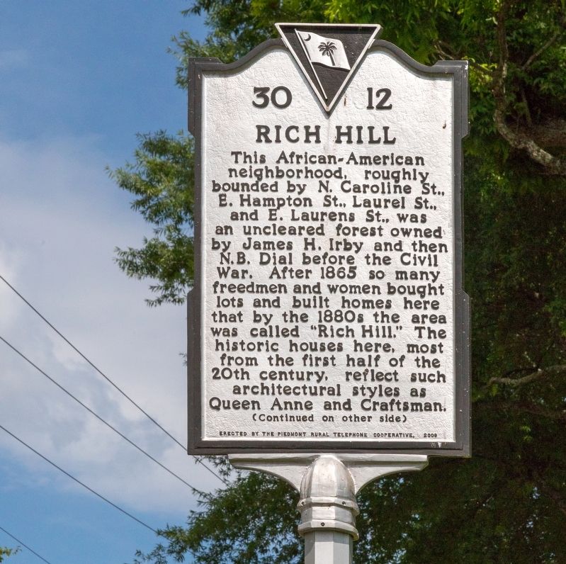
1. Rich Hill Marker, Side One
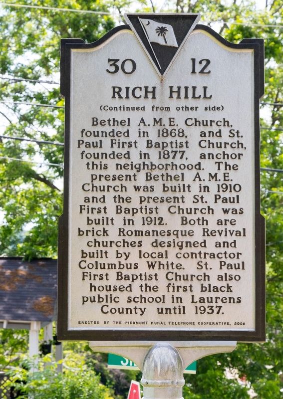
Bethel A. M. E. Church, founded in 1868, and St. Paul First Baptist Church, founded in 1877, anchor this neighborhood. The present Bethel A. M. E. Church was built in 1910 and the present St. Paul First Baptist Church was built in 1912. Both are brick Romanesque Revival churches designed and built by local contractor Columbus White. St. Paul First Baptist Church also housed the first black public school in Laurens County until 1937.
Erected 2006 by the Piedmont Rural Telephone Cooperative. (Marker Number 30-12.)
Topics. This historical marker is listed in these topic lists: African Americans • Architecture •
this page online
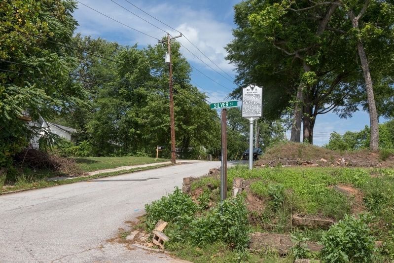
Location. 34° 30.102′ N, 82° 0.883′ W. Marker is in Laurens, South Carolina, in Laurens County. It is at the intersection of East Hampton Avenue and Silver Street when traveling east on East Hampton Avenue. Touch for map. Marker is at or near this postal address: 112 E Hampton Ave, Laurens SC 29360, United States of America. Touch for directions.

Regionally, this marker is in Upstate. It is also in the American South and specifically in the Deep South. Globally, it is in North America, the Western Hemisphere, the Western World, and the Anglosphere. Historically, it finds itself in what was once the territory of the Mississippian Culture, one of the original Thirteen Colonies, one of the Confederate States of America, and the Antebellum South.
Other nearby markers. At least 8 other markers are within walking distance of this marker: Laurens County / Laurens Historic District (approx. 0.2 miles away); Vietnam War (approx. 0.2 miles away); Watts Mills' World War II Veterans Memorial (approx. 0.2 miles away); Laurens County World Wars I & II Veterans Monument
Photographed by J. J. Prats, May 19, 2025
2. Rich Hill Marker, Side Two
More about this marker. The Piedmont Rural Telephone Cooperative, the organization that sponsored and erected this historical marker, is the legacy telephone company in the area and provides landline telephone, internet, cable television and wireless service to residents in Laurens, Spartanburg and Abbeville counties.
Regarding Rich Hill. Bethel A. M. E. Church, 234 Caroline St., fell into disrepair and was razed in 2009.
Also see . . . Photos of Bethel A.M.E. Church. This Flikr page has numerous photos of the church taken just before it was torn down. (Submitted on July 1, 2025, by J. J. Prats of Powell, Ohio.)
Photographed by J. J. Prats, May 19, 2025
3. Rich Hill Marker
Credits. This page was last revised on July 1, 2025. It was originally submitted on July 1, 2025, by J. J. Prats of Powell, Ohio. This page has been viewed 189 times since then and 43 times this year. Photos: 1, 2, 3. submitted on July 1, 2025, by J. J. Prats of Powell, Ohio.
Editor’s want-list for this marker. Photo of St. Paul First Baptist Church • Can you help?
