Marco Island in Collier County, Florida — The American South (South Atlantic)
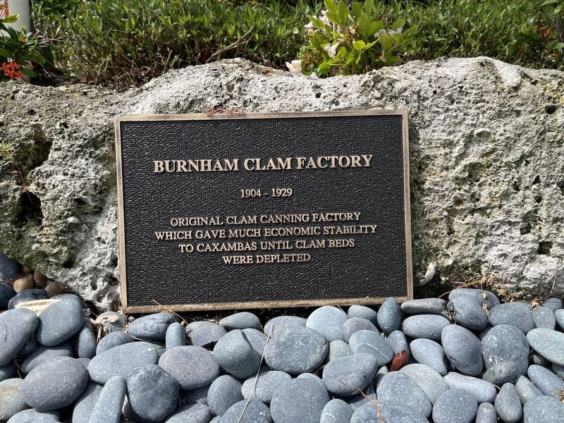
Burnham Clam Factory
Photographed by Patrick Duggan, July 2, 2025
1. Burnham Clam Factory Marker
Original clam canning factory which gave much economic stability to Caxambas until clam beds were depleted
Topics. This historical marker is listed in this topic list: Industry & Commerce. A significant historical year for this entry is 1904.
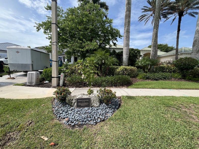
Location. 25° 54.57′ N, 81° 41.86′ W. Marker is on Marco Island, Florida, in Collier County. It is on South Inlet Drive west of East Inlet Drive, on the left when traveling west. Touch for map. Marker is in this post office area: Marco Island FL 34145, United States of America. Touch for directions.

Regionally, this marker is on the Gulf Coast. It is also in the American South and on the Gulf Coast. Globally, it is in the North Atlantic Region, North America, a Gulf of Mexico state, the Western Hemisphere, the Western World, and the Anglosphere. Historically, it finds itself in what was once New Spain, the territory of the Mississippian Culture, one of the Confederate States of America, and the Antebellum South.
Other nearby markers. At least 8 other markers are within 9 miles of this marker, measured as the crow flies: Indian Hill Barfield Homesite (approx.
this page online
Photographed by Patrick Duggan, July 2, 2025
2. Burnham Clam Factory Marker
Credits. This page was last revised on July 3, 2025. It was originally submitted on July 2, 2025, by Patrick Duggan of Los Angeles, California. This page has been viewed 233 times since then and 79 times this year. Photos: 1, 2. submitted on July 2, 2025, by Patrick Duggan of Los Angeles, California. • Bernard Fisher was the editor who published this page.
