Oakalla in Burnet County, Texas — The American South (West South Central)
Tobey Cemetery
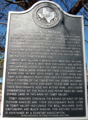
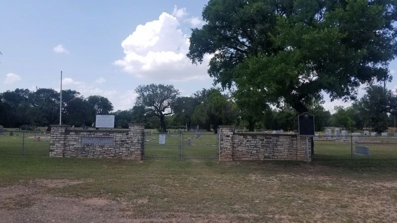
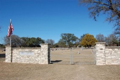
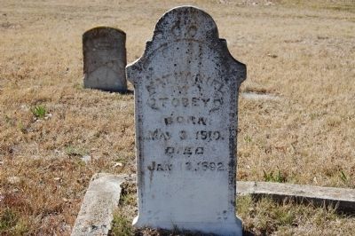
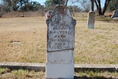
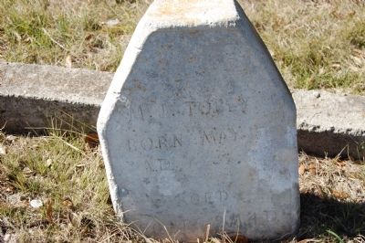
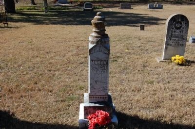
This cemetery, which began with the burial of Mary J. Tobey in 1872, overlooks a stretch of the Lampasas River valley named for Nathaniel Wheeler Tobey (1810-1892). A blacksmith from Connecticut, Tobey settled on several hundred acres here about 1870 and built a two-story rock house nearby in 1875. Nathaniel Tobey, his wife Winnie (Dennis) (1828-1878), and Mary J. Tobey are the only Tobey’s buried here.
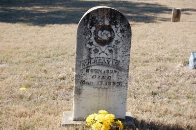
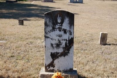
About 1875 William H. Reavis (1821-1885) and his wife Harritt (Ellis) Reavis (1830-1893) purchased land along the Lampasas River east of this site. William and Harritt and a large number of their descendants are buried here. In 1895 John Priest, Sr., (1839-1908) and Mary (Castleberry) Priest (1841-1925) purchased a significant portion of the Tobeys’ original estate, including this cemetery. John and Mary Priest and many of their descendants also are buried here. Successive generations of the Reavis and Priest families have owned land in this area of Tobey Valley.
Tobey Cemetery contains the burials of many of the pioneer families and their descendants who lived in Tobey Valley including the Bell, Williams, Shed, Castleberry, and Black families. This historic cemetery is maintained by a cemetery association.
Erected 1994 by Texas Historical Commission. (Marker Number 13394.)
Topics. This historical marker is listed in this topic list: Cemeteries & Burial Sites. A significant historical year for this entry is 1872.
Location. 31° 0.137′ N, 97° 54.135′ W. Marker is in Oakalla, Texas, in Burnet County. Marker is on CR-221, 0.1 miles east of FM-2657, on the right when traveling west. Touch for map. Marker is in this post office area: Killeen TX 76543, United States of America. Touch for directions.
Other nearby markers. At least 8 other markers are within 8 miles of this marker, measured as the crow flies. Oakalla (approx. 1.7 miles away); Gillum Cemetery (approx. 2.7 miles away); Maxdale Cemetery (approx. 4.4 miles away); Smith Cemetery (approx. 5 miles away); DeWolfe-Dillingham Community Cemetery (approx. 7.1 miles away); McBryde Cemetery (approx. 7.7 miles away); The Community of Briggs (approx. 8 miles away); Briggs State Bank (approx. 8 miles away). Touch for a list and map of all markers in Oakalla.
Credits. This page was last revised on November 25, 2020. It was originally submitted on February 20, 2010, by Keith Peterson of Cedar Park, Texas. This page has been viewed 1,413 times since then and 25 times this year. Photos: 1, 2, 3. submitted on February 20, 2010, by Keith Peterson of Cedar Park, Texas. 4. submitted on May 24, 2020, by Keith Peterson of Cedar Park, Texas. 5, 6, 7, 8, 9, 10. submitted on February 20, 2010, by Keith Peterson of Cedar Park, Texas. • Bill Pfingsten was the editor who published this page.
