Heber City in Wasatch County, Utah — The American Mountains (Southwest)
Home of John and Mary Lucinda McDonald

Photographed by Jeremy Snow, June 19, 2025
1. Home of John and Mary Lucinda McDonald Marker
Topics. This historical marker is listed in this topic list: Settlements & Settlers. A significant historical year for this entry is 1874.
Location. 40° 30.764′ N, 111° 24.786′ W. Marker is in Heber City, Utah, in Wasatch County. It is at the intersection of North Main Street and E 400 N, on the right when traveling north on North Main Street. Touch for map. Marker is at or near this postal address: 390 N Main Street, Heber City UT 84032, United States of America. Touch for directions.

Regionally, this marker is in the Wasatch Front and in Greater Provo. It is also in the American Mountain West and on the Colorado Plateau. Globally, it is in North America, the
this page online
Other nearby markers. At least 8 other markers are within walking distance of this marker: John McDonald & Mary Lucinda Cole Home (here, next to this marker); Elizabeth Sessions Condon Home (about 600 feet away, measured in a direct line); James Dock & Eva Erickson Shanks Home (about 600 feet away); Peace Treaty (about 700 feet away); John William & Sarah Elizabeth Bond Crook Home (about 700 feet away); Robert and Anna Josephine Peterson Duke Home (approx. 0.2 miles away); The Old Fort (approx. 0.2 miles away); John Crook & Mary Giles Home (approx. 0.2 miles away). Touch for a list and map of all markers in Heber City.
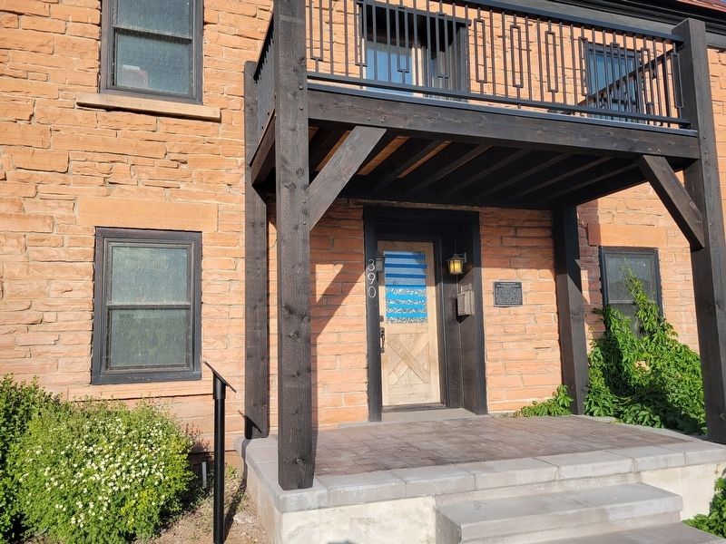
Photographed by Jeremy Snow, June 19, 2025
2. Home of John and Mary Lucinda McDonald Marker
Marker just right of the entrance door.
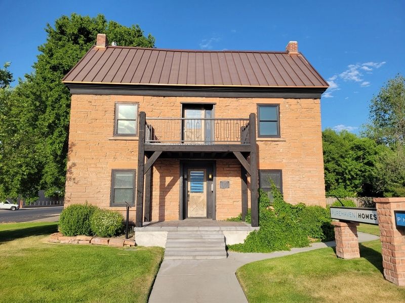
Photographed by Jeremy Snow, June 19, 2025
3. Home of John and Mary Lucinda McDonald Building
Credits. This page was last revised on July 3, 2025. It was originally submitted on July 2, 2025, by Jeremy Snow of Cedar City, Utah. This page has been viewed 99 times since then and 15 times this year. Photos: 1. submitted on July 2, 2025, by Jeremy Snow of Cedar City, Utah. 2, 3. submitted on July 3, 2025, by Jeremy Snow of Cedar City, Utah. • Andrew Ruppenstein was the editor who published this page.
