
Deer Valley in Park City in Summit County, Utah — The American Mountains (Southwest)
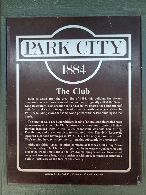
The Club
Park City
| — | 1884 | — |
Photographed by Jeremy Snow, June 20, 2025
1. The Club Marker
The interior walls are hung with a collection of animal trophies which have been looking down on The Club's patrons since longtime proprietor Heinie Hernan installed them in the 1930's. Moonshine was sold here during Prohibition, and a memorable party occured when President Roosevelt legalized alcoholic beverages in 1932. This is the only saloon from Park City's mining heyday whose interior remains substantially unchanged.
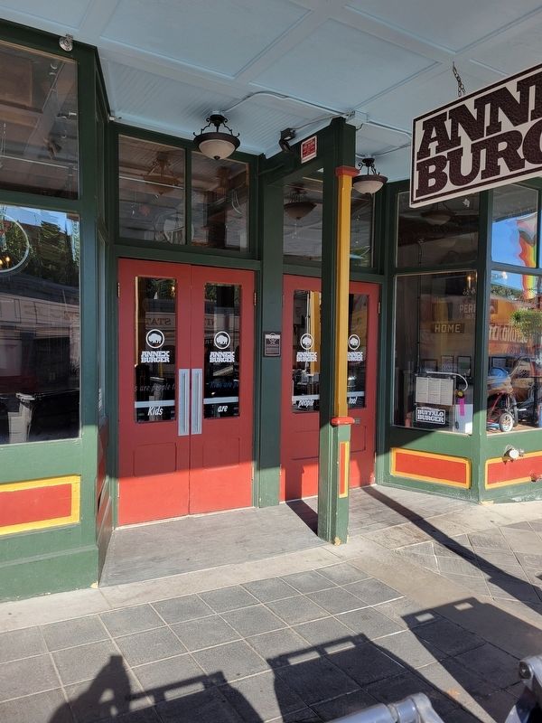
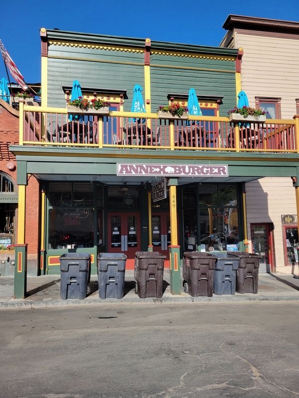
Although fairly typical of other commercial facades built along Main Street in its day, The Club is distinguished by its ornate wood cornice and bracketed wood lintels above the two double hung windows. Its recessed entry and two story height are consistent with most commercial structures built in Park City at the turn of
this page online
Erected by Park City Centennial Commission.
Topics. This historical marker is listed in this topic list: Industry & Commerce. A significant historical year for this entry is 1898.
Location. 40° 38.637′ N, 111° 29.768′ W. Marker is in Park City, Utah, in Summit County. It is in Deer Valley. It is on Main Street, on the right when traveling south. Touch for map. Marker is at or near this postal address: 449 Main Street, Park City UT 84060, United States of America. Touch for directions.

Regionally, this marker is in Utah’s Uinta Mountains, in the Wasatch Front, and in Greater Provo. It is also in the American Mountain West and on the Colorado Plateau. Globally, it is in North America, the Rocky Mountains, the Western Hemisphere, the Western World, and the Anglosphere. Historically, it finds itself in what was once New Spain and also Mexico’s Alta California.
Other nearby markers. At least 8 other markers are within walking distance of this marker: The Alamo (here, next to this marker); Anderson Apartments (a few steps from this marker); War Veterans Memorial Building (within shouting distance of
Photographed by Jeremy Snow, June 20, 2025
2. The Club Marker
Photographed by Jeremy Snow, June 20, 2025
3. The Club Building
Credits. This page was last revised on October 23, 2025. It was originally submitted on July 3, 2025, by Jeremy Snow of Cedar City, Utah. This page has been viewed 89 times since then and 10 times this year. Photos: 1, 2, 3. submitted on July 3, 2025, by Jeremy Snow of Cedar City, Utah. • Andrew Ruppenstein was the editor who published this page.
