Farnham in Richmond County, Virginia — The American South (Mid-Atlantic)
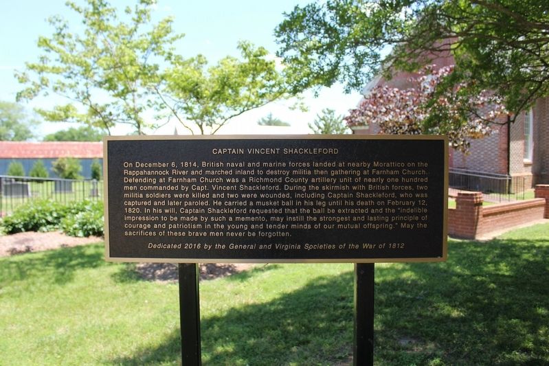
Captain Vincent Shackleford
Photographed by Evan Dwyer, June 19, 2025
1. Captain Vincent Shackleford Marker
Dedicated 2016 by the General and Virginia Societies of the War of 1812.
Erected 2016 by General Society of the War of 1812, Virginia Society of the War of 1812.
Topics. This historical marker is listed in this topic list: War of 1812. A significant historical date for this entry is December 6, 1814.
Location. 37° 53.177′ N,
this page online

Regionally, this marker is on the Northern Neck. It is also in the American South, specifically in the Upper South, in the Tidewater, in the Chesapeake Bay Region, and on the Eastern Seaboard. Globally, it is in the North Atlantic Region, North America, the Western Hemisphere, the Western World, and the Anglosphere. Historically, it finds itself in what was once the territory of the Mississippian Culture, one of the original Thirteen Colonies, one of the Confederate States of America, and the Antebellum South.
Other nearby markers. At least 8 other markers are within 6 miles of this marker, measured as the crow flies: North Farnham Church (within shouting distance of this marker); Veterans Memorial (approx. 2.1 miles away);
Photographed by Evan Dwyer, June 19, 2025
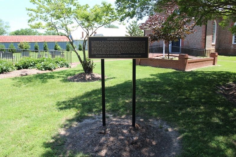
2. Captain Vincent Shackleford Marker
Regarding Captain Vincent Shackleford. North Farnham Church, built in 1737, stood in its present form (albeit with a different roof) during the 1814 skirmish. Indistinct bullet marks from this engagement are still visible on the church's south face.

Photographed by Evan Dwyer, June 19, 2025
3. Captain Vincent Shackleford Marker
The 1737 church is beyond.
Photographed by Evan Dwyer, June 17, 2025
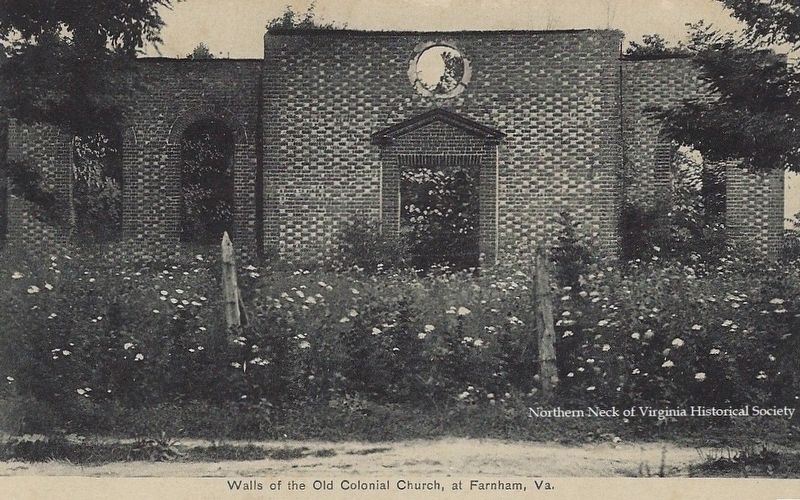
4. Ruins of North Farnham Church, 1908
Photo from the Northern Neck Historical Society. The church was repaired in 1921.
Photographed by Evan Dwyer, June 19, 2025
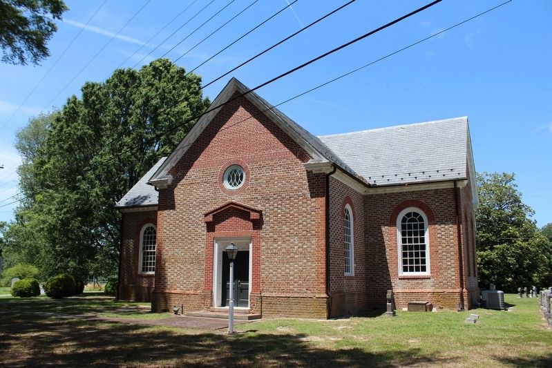
5. North Farnham Church, Southeast Elevation
The bullet damage from the 1814 skirmish are on the two walls lit by the sunlight in this photograph.
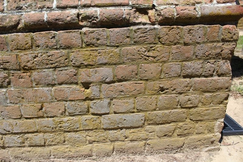
Photographed by Evan Dwyer, June 19, 2025
6. Skirmish Damage
This view of the lower wall on the southeast facade of the transept shows the mark of two fairly distinct musket ball impacts, made more visible by the shadow effect from the sun's angle the day this was taken. There are other marks, particularly on this specific wall, but these are the most distinct (note - there are a couple of modern drill holes on the church walls that are not shown in the photo, if visiting in person be aware those perfectly cylindrical penetrations are NOT from gunfire).
Credits. This page was last revised on June 8, 2026. It was originally submitted on July 3, 2025, by Evan Dwyer of Richmond, Virginia. This page has been viewed 173 times since then and 34 times this year. Photos: 1, 2, 3, 4, 5, 6. submitted on July 3, 2025, by Evan Dwyer of Richmond, Virginia. • Bernard Fisher was the editor who published this page.
