
Erbendorf in Tirschenreuth, Bavaria, Germany — Central Europe
Loretto Kapelle
⎯⎯⎯
Loretto Chapel
Photographed by James Hulse, June 17, 2025
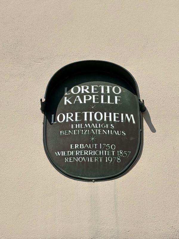
1. Loretto Kapelle / Loretto Chapel Marker

Ehemaliges Benefiziatenhaus
Erbaut 1750
Wiedererrichtet 1857
Renoviert 1978
Loretto Home, Former Beneficiary’s House, Built in 1750, rebuilt in 1857, renovated in 1978
Topics. This historical marker is listed in this topic list: Religion & Religious Structures. A significant historical year for this entry is 1750.
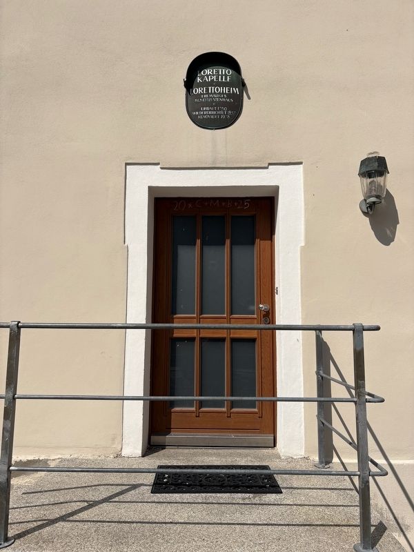
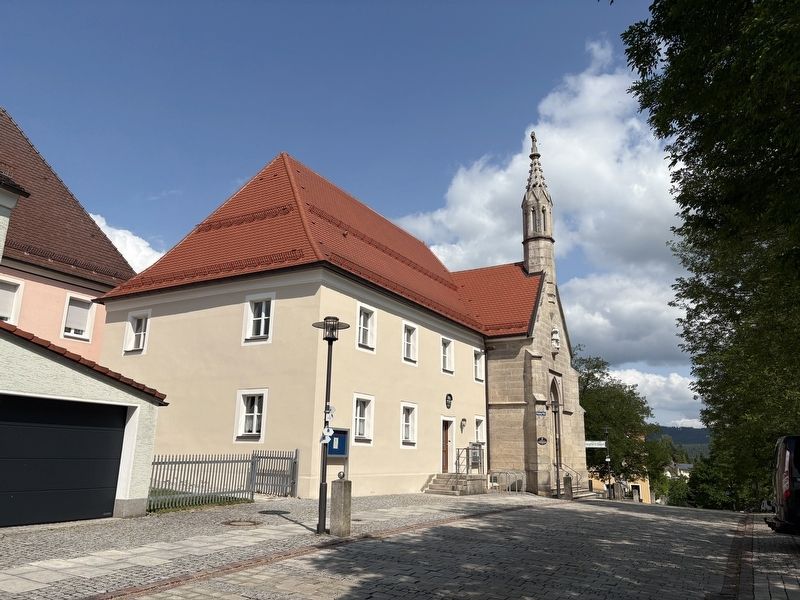
Location. 49° 50.296′ N, 12° 2.757′ E. Marker is in Erbendorf, Bayern (Bavaria), in Tirschenreuth. It is on Frühmeßgasse just north of Bräugasse, on the left when traveling north. The marker is located on the building directly south of the chapel. Touch for map. Marker is at or near this postal address: Frühmeßgasse 9, Erbendorf BY 92681, Germany. Touch for directions.

Regionally, it is in Europe, the European Union, Atlantic Europe, Central Europe, the Schengen Area, Western Europe, and the Western World. Historically, it finds itself in what was once the Holy Roman Empire and also the former West Germany.
Other nearby markers. At least 8 other markers are within 8 kilometers of this marker, measured as the crow flies: Kolping-Platz / Kolping Square
this page online
Photographed by James Hulse, June 17, 2025
2. Loretto Kapelle / Loretto Chapel Marker
Photographed by James Hulse, June 17, 2025
3. The view of the Loretto Chapel and Marker from the street
Photographed by James Hulse, June 17, 2025
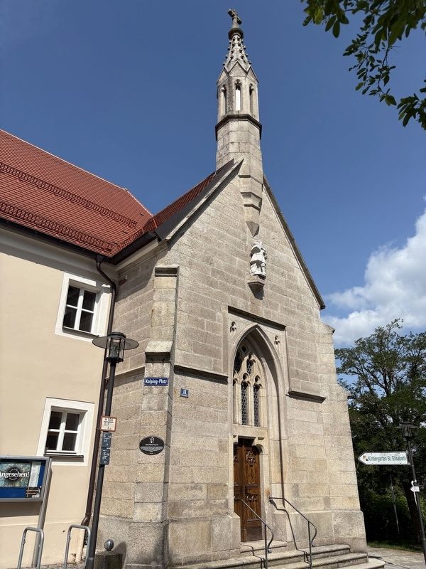
4. Loretto Chapel
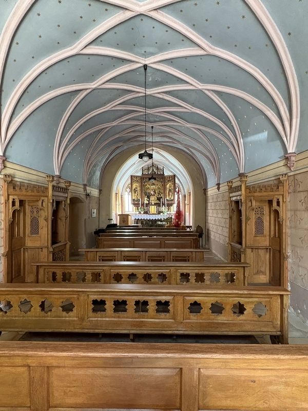
Photographed by James Hulse, June 17, 2025
5. The interior view of the Loretto Chapel
Credits. This page was last revised on July 4, 2025. It was originally submitted on July 4, 2025, by James Hulse of Medina, Texas. This page has been viewed 63 times since then and 4 times this year. Photos: 1, 2, 3, 4, 5. submitted on July 4, 2025, by James Hulse of Medina, Texas.
