
Bristol in Bucks County, Pennsylvania — The American Northeast (Mid-Atlantic)
Riverport Plaza Razed Colonial Building
Photographed by William Fischer, Jr., July 3, 2025
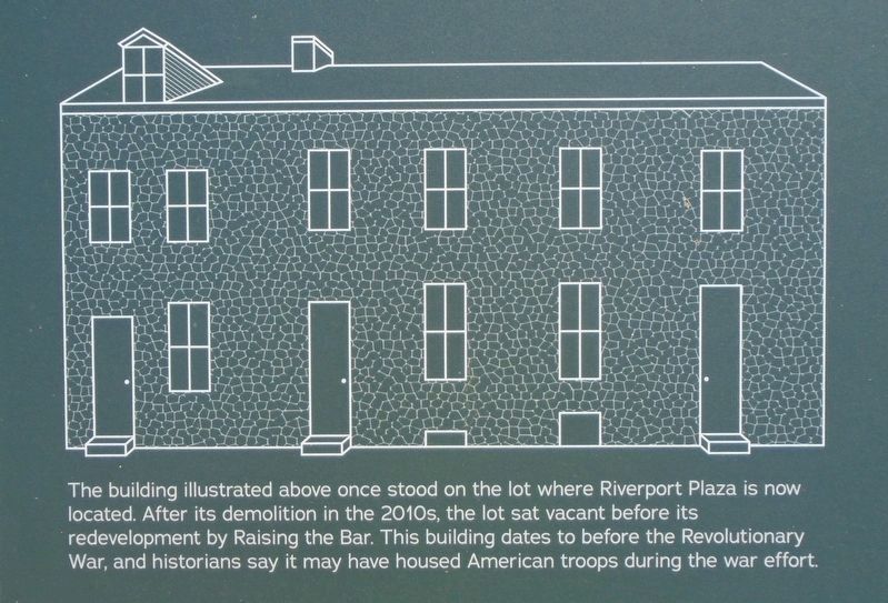
1. Riverport Plaza Razed Colonial Building Marker Detail
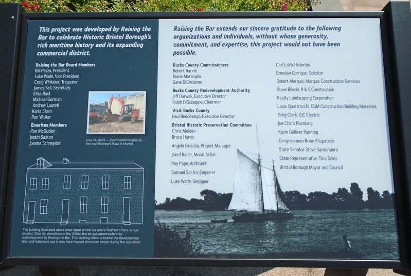
The building illustrated above once stood on the lot where Riverport Plaza is now located. After its demolition in the 2010s, the lot sat vacant before its redevelopment by Raising the Bar. This building date[d] to before the Revolutionary War, and historians say it may have housed American troops during the war effort.
Erected 2023 by Raising the Bar.
Topics. This historical marker is listed in this topic list: Notable Buildings.
Location. 40° 5.777′ N, 74° 51.461′ W. Marker is in Bristol, Pennsylvania, in Bucks County. It is at the intersection of Market Street and Wood Street, on the left when traveling north on Market Street. Marker is at Riverport Plaza. Touch for map. Marker is at or near this postal address: 310 Market Street, Bristol PA 19007, United States of America. Touch for directions.

Regionally, this marker is in Southeast Pennsylvania and in Greater Philadelphia. It is also in the American Northeast and in the Mid-Atlantic. Globally, it is in North America, the Western Hemisphere, the Western World, and the Anglosphere. Historically,
this page online
Other nearby markers. At least 8 other markers are within walking distance of this marker: Welcome to Riverport Plaza @ Market (here, next to this marker); Welcome to Bristol Fire Company (a few steps from this marker); Welcome to Bristol Friends Meetinghouse (within shouting distance of this marker); Bristol Meetinghouse Labyrinth (within shouting distance of this marker); S/Sgt. James B. Boyle (about 400 feet away, measured in a direct line); The Firehouse (about 600 feet away); Lock 2 (about 700 feet away); Abraham Lincoln (about 700 feet away). Touch for a list and map of all markers in Bristol.
Another marker is no longer nearby. Lock No. 2 (was about 700 feet away but has been replaced with another marker now near it).
Regarding Riverport Plaza Razed Colonial Building. While the marker is primarily a plaza sponsor "Thank You" marker, it contains notable historical information, which is the only part transcribed.
Photographed by William Fischer, Jr., July 3, 2025
2. Riverport Plaza Marker Showing Razed Colonial Building Illustration
Photographed by William Fischer, Jr., July 3, 2025
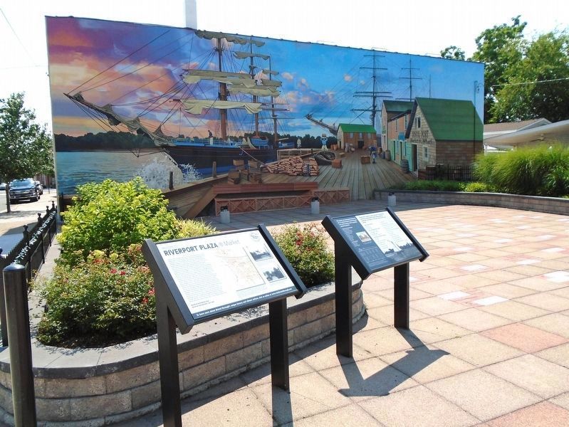
3. Riverport Plaza and Markers
Credits. This page was last revised on July 4, 2025. It was originally submitted on July 4, 2025, by William Fischer, Jr. of Reynoldsburg, Ohio. This page has been viewed 116 times since then and 18 times this year. Photos: 1, 2, 3. submitted on July 4, 2025, by William Fischer, Jr. of Reynoldsburg, Ohio.
