
Stadtamhof in Regensburg, Bavaria, Germany — Central Europe
Außenlager des KZ Flossenbürg
⎯⎯⎯
Subcamps of the Flossenbürg Concentration Camps
Photographed by James Hulse, June 25, 2025
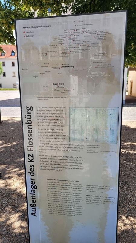
1. Außenlager des KZ Flossenbürg / Subcamps of the Flossenbürg Concentration Camps Marker

Das Konzentrationslager Flossenbürg wird ab 1942 zur Zentrale eines weit verzweigten Netzes von Außenlagern. In den annähernd 90 Lagern sind größtenteils Männer untergebracht, es gibt aber auch über 20 Frauenlager.
Die Größe der Lager sowie die Arbeits- und Lebensbedingungen unterscheiden sich extrem. An den meisten Standorten müssen die Gefangenen Zwangsarbeit in Rüstungsbetrieben oder kriegswichtigen Bauprojekten leisten. In einigen Außenlagern arbeiten KZ-Häftlinge in SS-eigenen Dienststellen und Wirtschaftsunternehmen.
In den letzten Kriegswochen werden zahlreiche provisorische Außenlager eingerichtet. Auch im Gasthof „Colosseum“ im Regensburger Stadtteil Stadtamhof quartiert die SS kurz vor Kriegsende mehrere Hundert Häftlinge ein, die vor allem zur Räumung von Bombenschäden eingesetzt werden.
Bildunterschriften
(Foto #1) Standorte der Außenlager des KZ Flossenbürg, 1942-1945. KZ-Gedenkstätte Flossenbürg
(Foto #2) Nummernbuch des KZ Flossenbürg, National Archives, Washington DC. Am 19. März 1945 werden 400 Häftlinge in das Außenlager Regensburg überstellt.
Rückseite
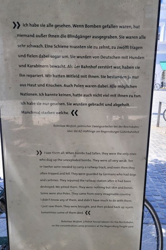
Ich habe sie alle gesehen. Wenn Bomben gefallen waren, hat niemand außer ihnen die Blindgänger ausgegraben. Sie waren alle sehr schwach. Eine Schiene mussten sie zu zehnt, zu zwölft tragen und fielen dabei sogar um. Sie wurden von Deutschen mit Hunden und Karabinern bewacht. Als der Bahnhof zerstört war, haben sie ihn repariert. Wir hatten Mitleid mit ihnen. Sie bestanden ja nur aus Haut und Knochen. Auch Polen waren dabei. Alle möglichen Nationen. Ich kannte keinen, hatte auch nicht viel mit ihnen zu tun. Ich habe sie nur gesehen. Sie wurden gebracht und abgeholt. Manchmal starben welche.
Bildunterschriften
(Foto #1) Bolesław Wojtoń, polnischer Zwangsarbeiter bei der Reichsbahn, über die KZ-Häftlinge am Regensburger Güterbahnhof
Beginning
this page online
The size of the subcamps varied immensely, as did their work and living conditions. At most of the subcamps, prisoners carried out forced labor in armaments facilities or wartime construction projects. In some of the subcamps concentration camp prisoners labored in administrative offices and economic enterprises operated by the SS.
Many makeshift subcamps were established in the final weeks of the war. Shortly before the end of the war, the SS also established a small outpost in the Colosseum inn, located in the Stadtamhof of Regensburg. The subcamp housed several hundred prisoners who worked as forced laborers, mainly clearing rubble after air raids.
Captions
(Photo #1) above: The locations of the subcamps of the Flossenbürg Concentration Camp, 1942-1945. Flossenbürg Concentration Camp Memorial
(Photo #2) below: Flossenbürg Concentration Camp log books. 400 prisoners were transferred to the Regensburg subcamp in a transport that took place on March 19, 1945. National Archives, Washington D.C.
Reverse Side
I
Photographed by James Hulse, June 25, 2025
2. Subcamps of the Flossenbürg Concentration Camps Marker - Reverse Side
Captions
(Photo #1) Bolesław Wojtoń, a Polish forced laborer for the Reichsbahn, on the concentration camp prisoners at the Regensburg freight yard
Erected by KZ-Gedenkstätte Flossenbürg, Stiftung Bayerische Gedenkstätten, Stadt Regensburg.
Topics. This historical marker is listed in this topic list: War, World II. A significant historical year for this entry is 1942.
Location. 49° 1.466′ N, 12° 5.851′ E. Marker is in Regensburg, Bayern (Bavaria). It is in Stadtamhof. It is at the intersection of Stadtamhof and Andreasstraße, on the right when traveling north on Stadtamhof. The marker is located along the street. Touch for map. Marker is in this post office area: Regensburg BY 93059, Germany. Touch for directions.

Regionally, it is in Europe, the European Union, Atlantic Europe, Central Europe, the Schengen Area, Western Europe, and the Western World. Historically, it finds itself in what was once the Roman Empire, the Holy Roman Empire, and the former West Germany.
Other nearby markers. At least 8 other markers are within walking distance of this marker: KZ-Außenkommandos Ossenburg / Ossenburg Concentration Subcamp (here, next to this marker); KZ-Außenlager Regensburg / Regensburg Subcamp
Photographed by James Hulse, June 25, 2025
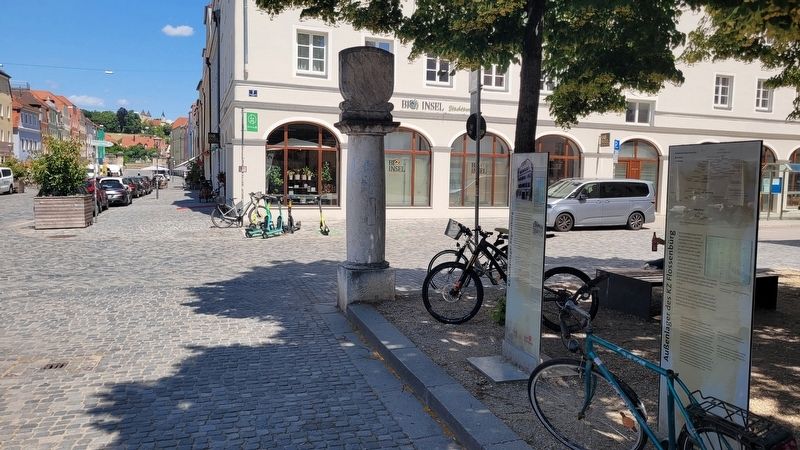
3. The view of the markers along the street (right side)
Photographed by James Hulse, June 25, 2025
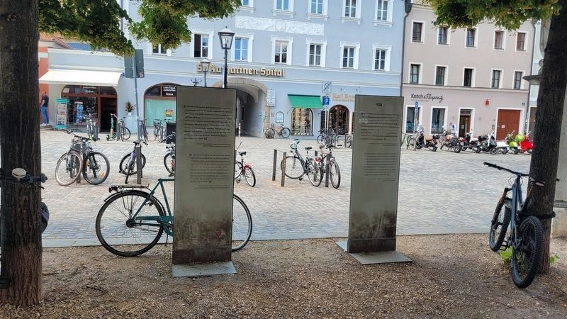
4. The reverse side of the marker (left side)
Credits. This page was last revised on July 7, 2025. It was originally submitted on July 5, 2025, by James Hulse of Medina, Texas. This page has been viewed 98 times since then and 33 times this year. Photos: 1. submitted on July 5, 2025, by James Hulse of Medina, Texas. 2, 3, 4. submitted on July 7, 2025, by James Hulse of Medina, Texas.
