Knaresborough in North Yorkshire, England, United Kingdom — Northwestern Europe (the British Isles)
Welcome to Knaresborough Station
Photographed by Ray Gurganus, April 18, 2025
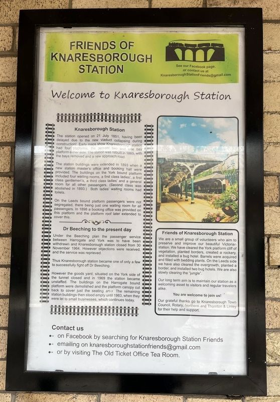
1. Welcome to Knaresborough Station Marker
The station buildings were extended in 1893 when a new station master's office and booking hall were provided. The buildings on the York bound platform included four waiting rooms, a first class ladies', a first class gentlemen's, a third class ladies' and a general room for all other passengers (Second class was abolished in 1893.) Both ladies' waiting rooms had toilets.
On the Leeds bound platform passengers were not segregated, there being just one waiting room for all passengers. In 1898 a booking office was provided on this platform and the platform roof later extended to cover this.
Dr Beeching to the present day
Under the Beeching plan the passenger service between Harrogate and York was to have been withdrawn and Knaresborough station closed from 30 November 1964. However objections were received, and the service
this page online
Thus Knaresborough station became one of only a few to successfully fight off Dr Beeching.
However the goods yard, situated on the York side of the tunnel closed and in 1969 the station became unstaffed. The buildings on the Harrogate bound. platform were demolished and the platform canopy cut back to cover just the seating area. The remaining station buildings then stood empty until 1983, when they were let to small businesses, which continues today.
Erected by Friends of Knaresborough Station.
Topics. This historical marker is listed in this topic list: Railroads & Streetcars. A significant historical year for this entry is 1851.
Location. 54° 0.548′ N, 1° 28.213′ W. Marker is in Knaresborough, England, in North Yorkshire. It can be reached from Station Road. On the platform at Knaresborough Station. Touch for map. Marker is at or near this postal address: 1 Station Road, Knaresborough, England HG5 9AA, United Kingdom. Touch for directions.

Regionally, this marker is in Yorkshire & The Humber. Globally, it is on the Atlantic Ocean, in the North Atlantic Region, in Europe, in Atlantic Europe, on
Photographed by Ray Gurganus, April 18, 2025
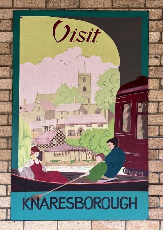
2. Knaresborough Station Tourist Sign
Other nearby markers. At least 8 other markers are within walking distance of this marker: The Mitre (within shouting distance of this marker); Blind Jack (about 90 meters away, measured in a direct line); Knaresborough Market (about 210 meters away); Knaresborough Castle (about 210 meters away); Nidd Gorge (about 240 meters away); The King's Tower (about 240 meters away); a different marker also named The King's Tower (approx. 0.2 kilometers away); The Courthouse (approx. 0.2 kilometers away). Touch for a list and map of all markers in Knaresborough.
Photographed by Mtaylor848 (via Wikimedia Commons under CC license 3.0), March 19, 2013
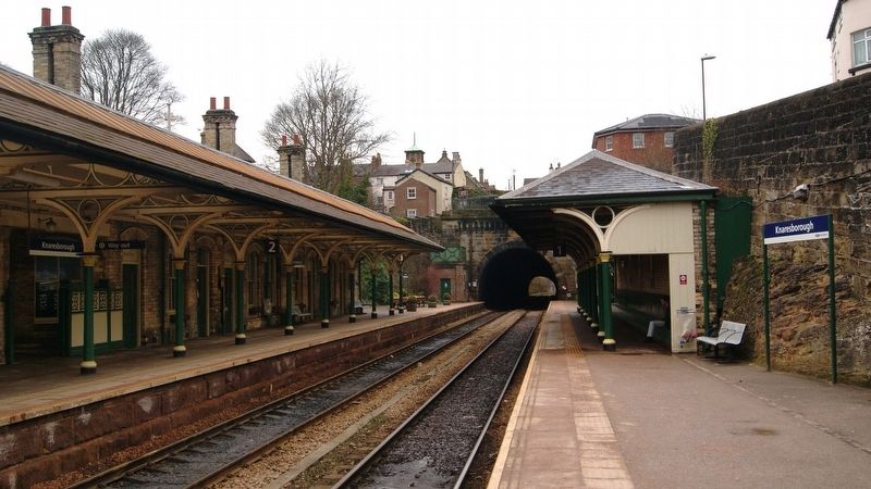
3. Knaresborough Station
Credits. This page was last revised on July 7, 2025. It was originally submitted on July 5, 2025, by Ray Gurganus of Washington, District of Columbia. This page has been viewed 106 times since then and 33 times this year. Photos: 1, 2. submitted on July 5, 2025, by Ray Gurganus of Washington, District of Columbia. 3. submitted on July 7, 2025. • Andrew Ruppenstein was the editor who published this page.
