
Deer Valley in Park City in Summit County, Utah — The American Mountains (Southwest)
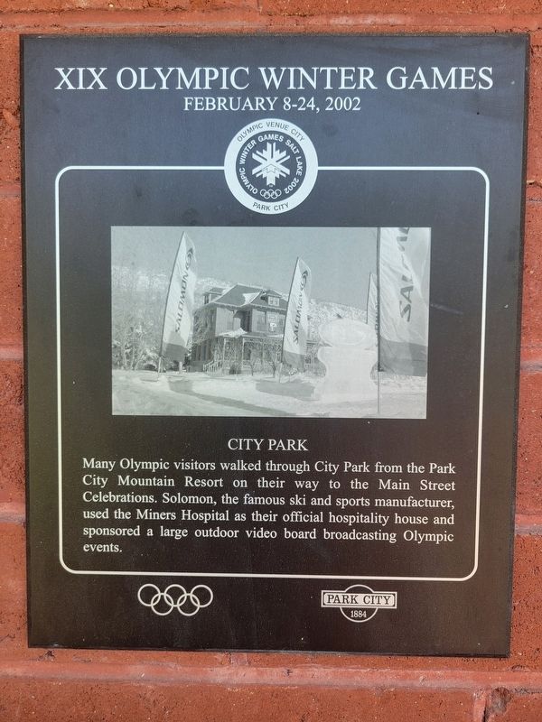
City Park
XIX Olympic Winter Games
| — | February 8-24, 2002 | — |
Photographed by Jeremy Snow, June 20, 2025
1. City Park Marker
Topics. This historical marker is listed in this topic list: Sports. A significant historical month for this entry is February 2002.
Location. 40° 39.201′ N, 111° 30.2′ W. Marker is in Park City, Utah, in Summit County. It is in Deer Valley. It is on Park Avenue. Marker located in City Park. Touch for map. Marker is at or near this postal address: 1354 Park Avenue, Park City UT 84060, United States of America. Touch for directions.

Regionally, this marker is in Utah’s Uinta Mountains, in the Wasatch Front, and in Greater Provo. It is also in the American Mountain West and on the Colorado Plateau. Globally, it is in North America, the Rocky Mountains, the Western Hemisphere, the Western World, and the Anglosphere. Historically, it finds itself in what was once New Spain and also Mexico’s Alta California.
Other nearby markers. At
this page online
Photographed by Jeremy Snow, June 20, 2025
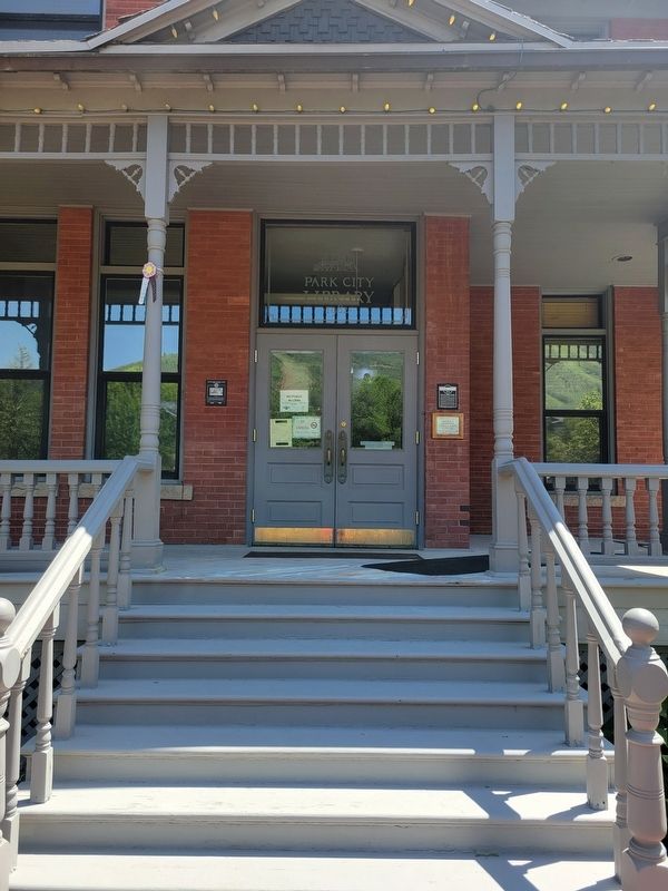
2. City Park Marker
Photographed by Jeremy Snow, June 20, 2025
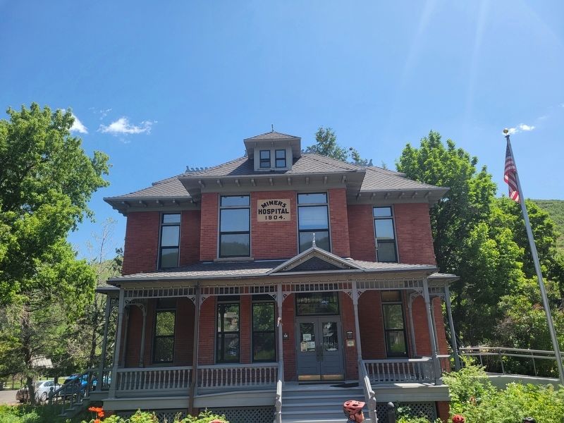
3. Miner House
Credits. This page was last revised on July 6, 2025. It was originally submitted on July 5, 2025, by Jeremy Snow of Cedar City, Utah. This page has been viewed 95 times since then and 12 times this year. Photos: 1, 2, 3. submitted on July 5, 2025, by Jeremy Snow of Cedar City, Utah. • Andrew Ruppenstein was the editor who published this page.
