
Stadtamhof in Regensburg, Bavaria, Germany — Central Europe
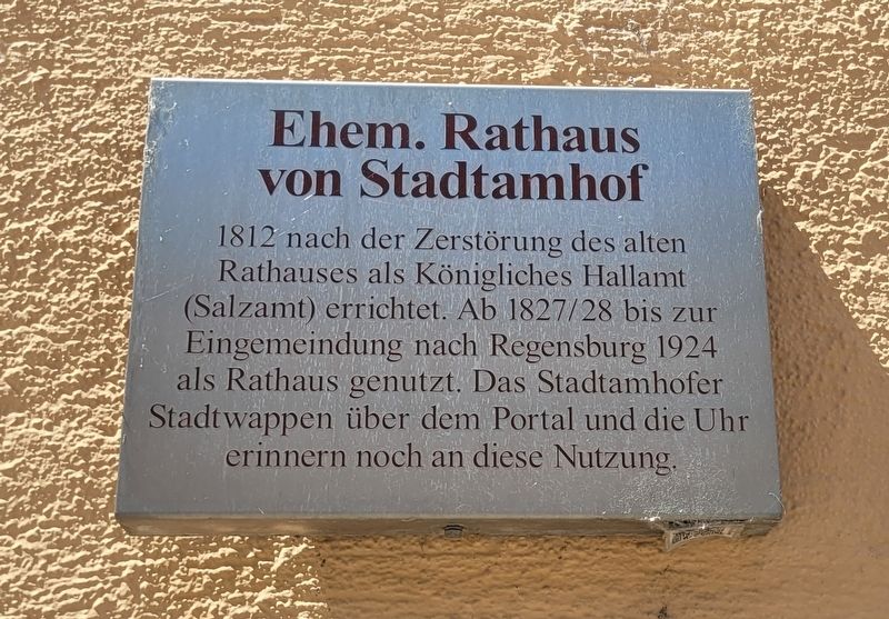
Ehem. Rathaus von Stadtamhof
⎯⎯⎯
Former town hall of Stadtamhof
Photographed by James Hulse, June 25, 2025
1. Ehem. Rathaus von Stadtamhof / Former town hall of Stadtamhof Marker

1812 nach der Zerstörung des alten Rathauses als Königliches Hallamt (Salzamt) errichtet. Ab 1827/28 bis zur Eingemeindung nach Regensburg 1924 als Rathaus genutzt. Das Stadtamhofer Stadtwappen über dem Portal und die Uhr erinnern noch an diese Nutzung.
Built in 1812 as the Royal Salt Office (Salzamt) after the destruction of the old town hall. From 1827/28 until the incorporation into Regensburg in 1924, it was used as the town hall. The Stadtamhof town coat of arms above the portal and the clock still recall this use.
Topics. This historical marker is listed in this topic list: Notable Buildings. A significant historical year for this entry is 1812.
Location. 49° 1.503′ N, 12° 5.832′ E. Marker is in Regensburg, Bayern (Bavaria). It is in Stadtamhof. It is at the intersection of Stadtamhof and An d. Schierstadt, on the left when traveling north on Stadtamhof. The marker is located on the right side of the front wall of the building. Touch for map. Marker is at or near this postal address: Stadtamhof 7, Regensburg BY 93059, Germany. Touch for directions.

Regionally, it is in Europe,
this page online
Other nearby markers. At least 8 other markers are within walking distance of this marker: Stadtamhof (here, next to this marker); KZ-Außenlager Regensburg / Regensburg Subcamp (within shouting distance of this marker); Außenlager des KZ Flossenbürg / Subcamps of the Flossenbürg Concentration Camps (within shouting distance of this marker); KZ-Außenkommandos Ossenburg / Ossenburg Concentration Subcamp (within shouting distance of this marker); Dr. Franz Xaver Haberl (about 120 meters away, measured in a direct line); St. Mang / Saint Magnus (about 120 meters away); Amberger Stadel / Amberg Storehouse (approx. 0.4 kilometers away); UNESCO World Heritage Site Old Town of Regensburg with Stadtamhof (approx. half a kilometer away). Touch for a list and map of all markers in Regensburg.
Photographed by James Hulse, June 25, 2025
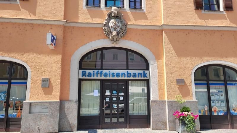
2. The entrance to the Former town hall of Stadtamhof building and Marker (right side)
The Stadtamhof town coat of arms is above the entrance to the building.
Photographed by James Hulse, June 25, 2025
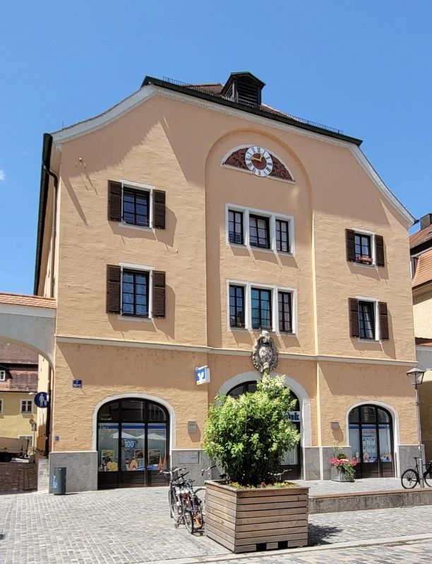
3. Former town hall of Stadtamhof
Credits. This page was last revised on July 7, 2025. It was originally submitted on July 6, 2025, by James Hulse of Medina, Texas. This page has been viewed 78 times since then and 8 times this year. Photos: 1, 2, 3. submitted on July 7, 2025, by James Hulse of Medina, Texas.
