Webster Station in Dayton in Montgomery County, Ohio — The American Midwest (Great Lakes)
The Beaver Power Building
| — | Patterson Boulevard Canal Parkway | — |
Photographed by Craig Doda, June 28, 2025
1. The Beaver Power Building Marker
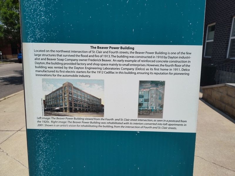
Located on the northwest intersection of St. Clair and Fourth streets, the Beaver Power Building is one of the few large structures that survived the flood and fire of 1913. The building was constructed in 1910 by Dayton industrialist and Beaver Soap Company owner Frederick Beaver. An early example of reinforced concrete construction in Dayton, the building provided factory and shop space mainly to small enterprises. However, the fourth floor of the building was rented by the Dayton Engineering Laboratories Company (Delco) as its first home in 1911. Delco manufactured its first electric starters for the 1912 Cadillac in this building, ensuring its reputation for pioneering innovations for the automobile industry.
Left image: The Beaver Power Building viewed from the Fourth and St. Clair street intersection, as seen in a postcard from the 1920s. Right image: The Beaver Power Building was rehabilitated with its interiors converted into loft apartments in 2001. Shown is an artist's vision for rehabilitating the building, from the intersection of Fourth and St. Clair streets.
Topics. This historical marker is listed
this page online
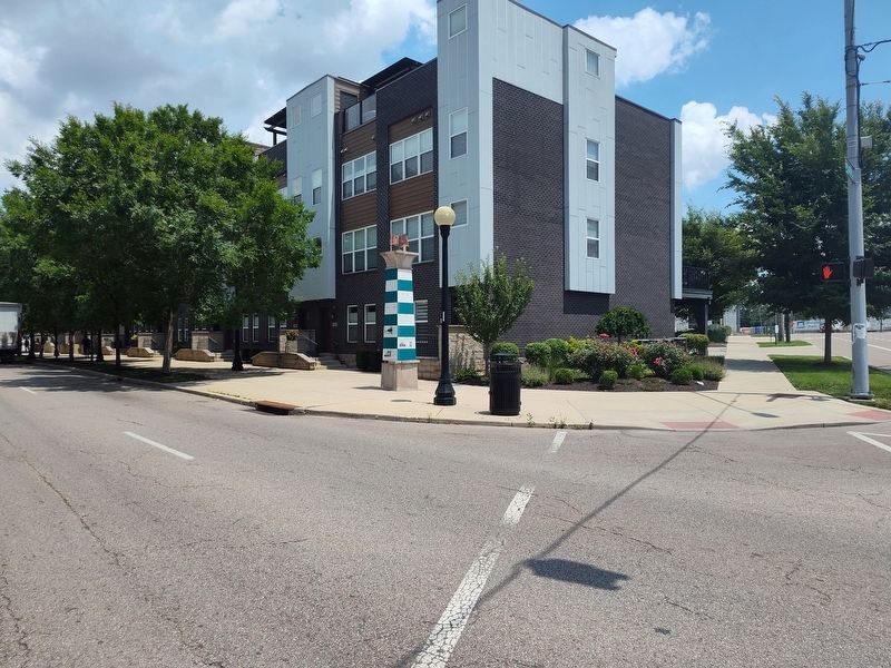
Location. 39° 45.544′ N, 84° 11.221′ W. Marker is in Dayton, Ohio, in Montgomery County. It is in Webster Station. It is at the intersection of South Patterson Boulevard and East 4th Street, on the right when traveling north on South Patterson Boulevard. Touch for map. Marker is at or near this postal address: 50 S Patterson Blvd, Dayton OH 45402, United States of America. Touch for directions.

Regionally, this marker is in the Miami Valley. It is also in the American Midwest and in the Corn Belt. Globally, it is in North America, the Western Hemisphere, the Western World, and the Anglosphere. Historically, it finds itself in what was once the Haudenosaunee (Iroquois) Confederacy, the territory of the Mississippian Culture, and the Northwest Territory.
Other nearby markers. At least 8 other markers are within walking distance of this marker: Canal Buildings of the Past (here, next to this marker); The Rebuilding - Fire Blocks and Merchants Row (here, next to this marker); The Fire Blocks - Merchants Row (here, next
Photographed by Craig Doda, June 28, 2025
2. The Beaver Power Building Marker
Credits. This page was last revised on July 26, 2025. It was originally submitted on July 6, 2025, by Craig Doda of Napoleon, Ohio. This page has been viewed 134 times since then and 61 times this year. Photos: 1, 2. submitted on July 6, 2025, by Craig Doda of Napoleon, Ohio. • Devry Becker Jones was the editor who published this page.
