
Hexham in Northumberland, England, United Kingdom — Northwestern Europe (the British Isles)
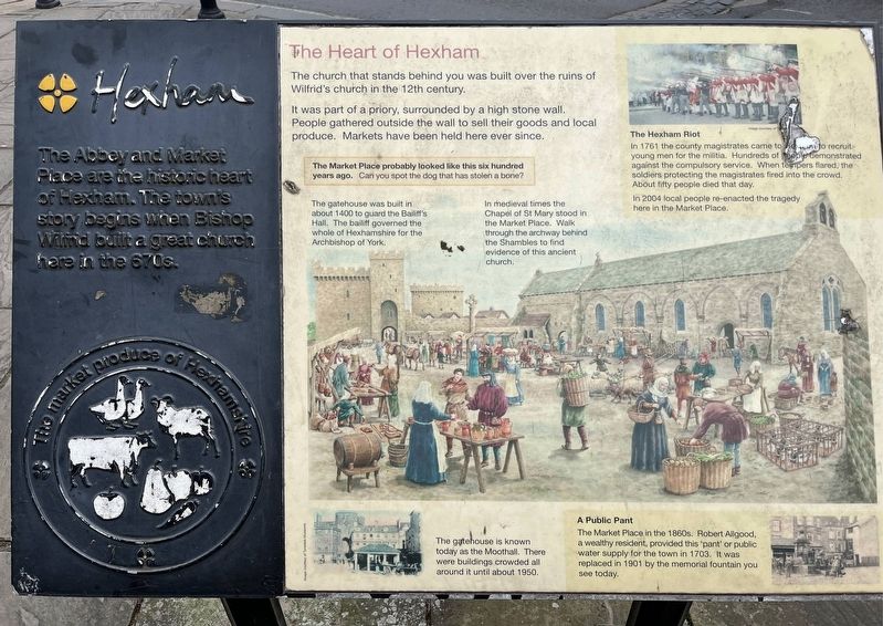
The Heart of Hexham
Photographed by Ray Gurganus, April 23, 2025
1. The Heart of Hexham Marker
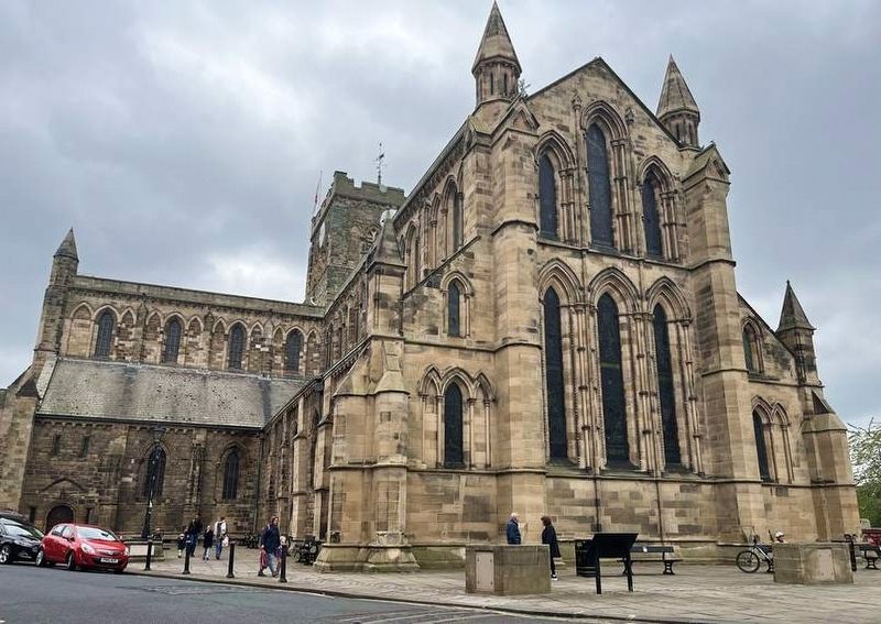
The church that stands behind you was built over the ruins of Wilfrid's church in the 12th century.
It was part of a priory, surrounded by a high stone wall. People gathered outside the wall to sell their goods and local produce. Markets have been held here ever since.
The gatehouse was built in about 1400 to guard the Bas Hall. The bailiff governed the whole of Hexhamshire for the Archbishop of York.
In medieval times the Chapel of St Mary stood in the Market Place. Walk through the archway behind the Shambles to find evidence of this ancient church.
The Hexham Riot
In 1761 the county magistrates came to Hexham to recruit young men for the militia. Hundreds of people demonstrated against the compulsory service. When tempers flared, the soldiers protecting the magistrates fired into the crowd. About fifty people died that day.
In 2004 local people re-enacted the tragedy here in the Market Place.
The gatehouse is known today as the Moothall. There were buildings
this page online
A Public Pant
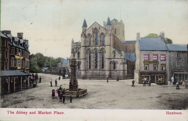
The Market Place in the 1860s. Robert Allgood, a wealthy resident, provided this 'pant' or public water supply for the town in 1703. It was replaced in 1901 by the memorial fountain you see today.
Topics. This historical marker is listed in this topic list: Industry & Commerce.
Location. 54° 58.29′ N, 2° 6.095′ W. Marker is in Hexham, England, in Northumberland. It is on Market Place. Touch for map. Marker is at or near this postal address: 17 Market Place, Hexham, England NE46, United Kingdom. Touch for directions.

Regionally, this marker is in North East England. It is also in British Border Reivers Country. Globally, it is on the Atlantic Ocean, in the North Atlantic Region, in Europe, in Atlantic Europe, on one of the British Isles, in the Western World, and in the Anglosphere. Historically, it finds itself in what was once the Roman Empire.
Other nearby markers. At least 8 other markers are within 5 kilometers of this marker, measured as the crow flies: From Cathedral to Priory Church (about 90 meters away,
Photographed by Ray Gurganus, April 23, 2025
2. Hexham Abbey, across from the Market
circa 1910
3. The Abbey and Market Place, Hexham
Credits. This page was last revised on July 6, 2025. It was originally submitted on July 6, 2025, by Ray Gurganus of Washington, District of Columbia. This page has been viewed 71 times since then and 17 times this year. Photos: 1, 2. submitted on July 6, 2025, by Ray Gurganus of Washington, District of Columbia. 3. submitted on July 6, 2025, by Andrew Ruppenstein of Lamorinda, California. • Andrew Ruppenstein was the editor who published this page.
Editor’s want-list for this marker. photo of the marker within its surroundings • Can you help?
