
Coalville in Summit County, Utah — The American Mountains (Southwest)
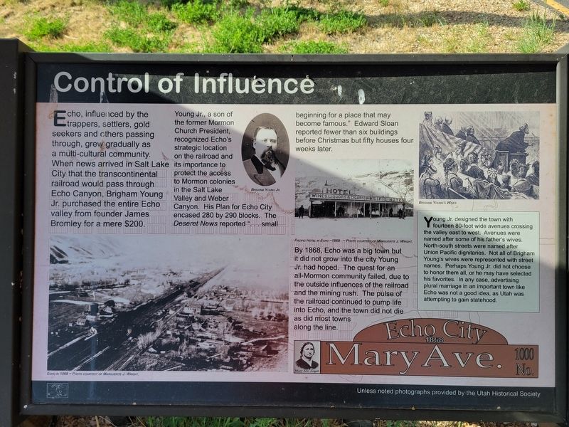
Control of Influence
Photographed by Jeremy Snow, June 20, 2025
1. Control of Influence Marker
Young Jr., a son of the former Mormon Church President, recognized Echo's strategic location on the railroad and its importance to protect the access to Mormon colonies in the Salt Lake Valley and Weber Canyon. His Plan for Echo City encased 280 by 290 blocks. The Deseret News reported "... small beginning for a place that may become famous." Edward Sloan reported fewer than six buildings before Christmas but fifty houses four weeks later.
By 1868, Echo was a big town but it did not grow into the city Young Jr. had hoped. The quest for an all-Mormon community failed, due to the outside influences of the railroad and the mining rush. The pulse of the railroad continued to pump life into Echo, and the town did not die as did most towns along the line.
Young Jr. designed the town with fourteen
this page online
Topics. This historical marker is listed in these topic lists: Railroads & Streetcars • Settlements & Settlers. A significant historical year for this entry is 1868.
Location. 40° 58.518′ N, 111° 26.528′ W. Marker is in Coalville, Utah, in Summit County. It is on South Echo Road, on the right when traveling north. Touch for map. Marker is at or near this postal address: 3595 S Echo Road, Echo UT 84024, United States of America. Touch for directions.

Regionally, this marker is in Utah’s Uinta Mountains, in the Wasatch Front, and in Greater Provo. It is also in the American Mountain West and on the Colorado Plateau. Globally, it is in North America, the Rocky
Photographed by Jeremy Snow, June 20, 2025
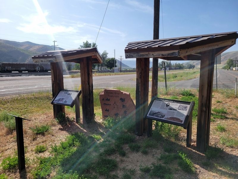
2. Control of Influence Marker
Covered marker on the right.
Other nearby markers. At least 8 other markers are within 2 miles of this marker, measured as the crow flies: Pulpit Rock (a few steps from this marker); Iron Rails and Silver Dreams (a few steps from this marker); Echo School and Church (approx. 0.2 miles away); Echo Church and School (approx. ¼ mile away); The Battle of the Signs (approx. ¼ mile away); Weber Pony Express Station (approx. ¼ mile away); Temple Camp and Supplication Hills (approx. 0.8 miles away); Witch Rocks (approx. 1½ miles away). Touch for a list and map of all markers in Coalville.
Credits. This page was last revised on July 6, 2025. It was originally submitted on July 6, 2025, by Jeremy Snow of Cedar City, Utah. This page has been viewed 185 times since then and 34 times this year. Photos: 1, 2. submitted on July 6, 2025, by Jeremy Snow of Cedar City, Utah. • Andrew Ruppenstein was the editor who published this page.
