Echo in Summit County, Utah — The American Mountains (Southwest)
Temple Camp and Supplication Hills

Photographed by Jeremy Snow, June 20, 2025
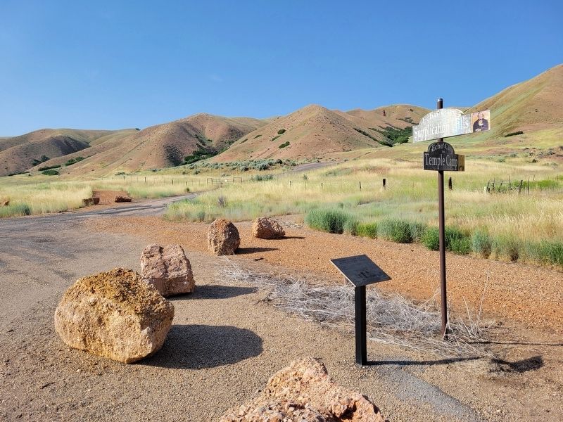
1. Temple Camp and Supplication Hills Marker
On Saturday, July 17, 1847, Brigham Young and the main group of pioneers left their camp a mile up Echo Canyon and due to Brigham's illness, traveled only 2-1/2 miles. Their camp of July 17-18, was .4 mile west of this marker on the east bank of the Weber River. Sabbath meetings were held in the Temple Camp on the 18th. Brigham Young was washed and anointed for a blessing of health, then he fell into a deep sleep and awakened feeling much better. Their prayers were answered.
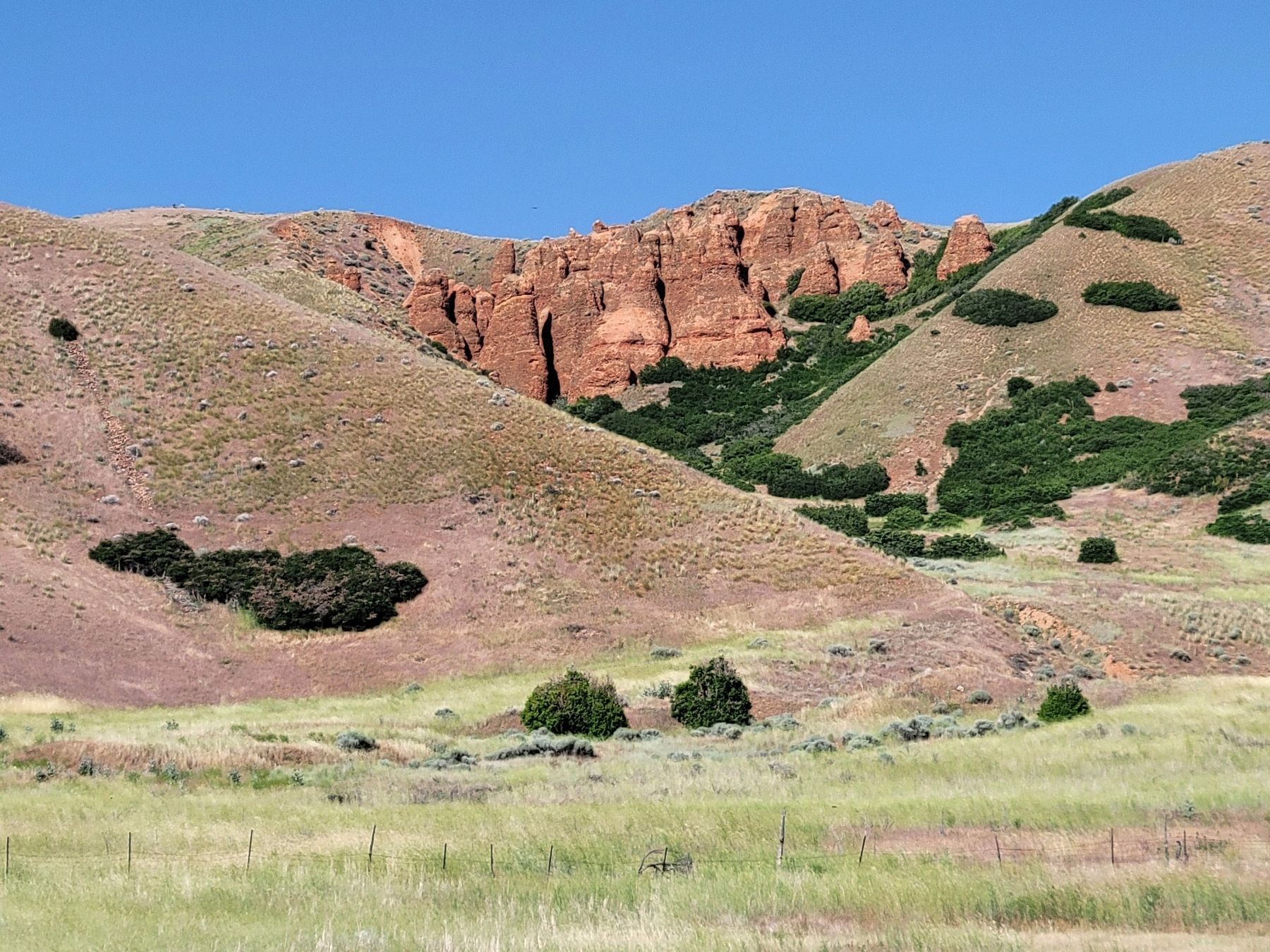
At about 2 p.m. on Saturday, July 17, four members of the Quorum of Twelve and six other brethren, ascended the high and steep "Supplication Hills" to the northeast of this marker. After walking about 2 miles from Temple Camp to the top of the mountain, they dressed for temple prayer and pled to the Lord in behalf of President Young and others. who were sick in camp, the saints who were following, and for their own wives and children who were left behind at Winter Quarters.
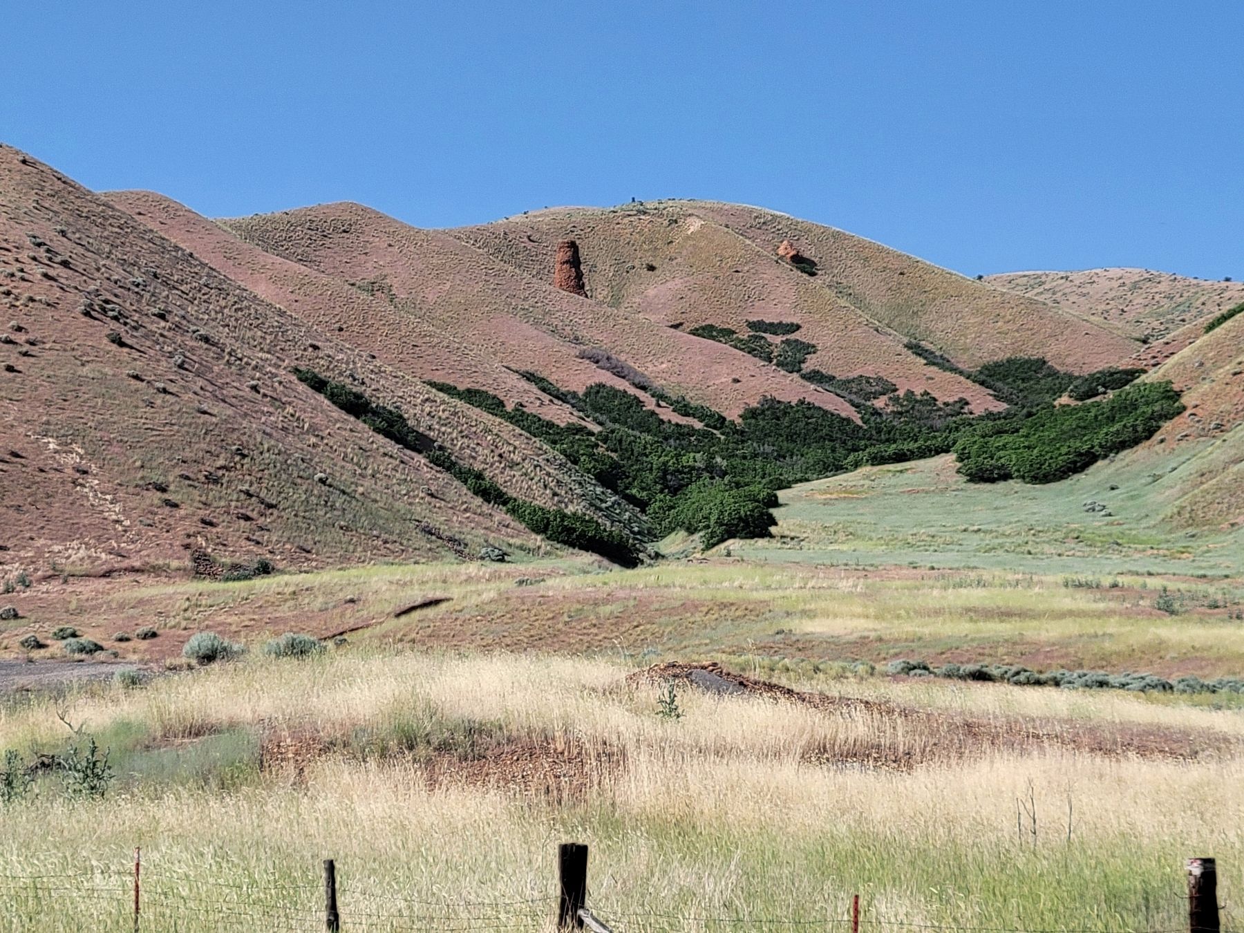
Before rejoining the camp, they rolled large rocks down from the top of the mountain to amuse themselves. As they returned, they passed by a lone conglomerate column (Sentinel
this page online
Erected 1998 by Sons of Utah Pioneers. (Marker Number 85.)
Topics and series. This historical marker is listed in these topic lists: Religion & Religious Structures • Settlements & Settlers. In addition, it is included in the Daughters of Utah Pioneers series list. A significant historical date for this entry is July 17, 1847.
Location. 40° 59.147′ N, 111° 26.922′ W. Marker is in Echo, Utah, in Summit County. It is on South Echo Road, on the right when traveling north. Touch for map. Marker is at or near this postal address: S Echo Road, Echo UT 84024, United States of America. Touch for directions.

Regionally, this marker is in Utah’s Uinta Mountains, in the Wasatch Front, and in Greater Provo. It is also in the American Mountain West and on the Colorado Plateau. Globally, it is in North America, the Rocky Mountains, the Western Hemisphere, the Western World, and the Anglosphere. Historically, it finds itself in what was once New Spain and also Mexico’s
Photographed by Jeremy Snow, June 20, 2025
2. Temple Camp and Supplication Hills Marker
Other nearby markers. At least 8 other markers are within one mile of this marker, measured as the crow flies: Echo Church and School (approx. 0.6 miles away); Echo School and Church (approx. 0.6 miles away); Witch Rocks (approx. ¾ mile away); Control of Influence (approx. 0.8 miles away); Pulpit Rock (approx. 0.8 miles away); Iron Rails and Silver Dreams (approx. 0.8 miles away); The Battle of the Signs (approx. 1.1 miles away); Weber Pony Express Station (approx. 1.1 miles away). Touch for a list and map of all markers in Echo.
Photographed by Jeremy Snow, June 20, 2025
3. Supplication Hills
Photographed by Jeremy Snow, June 20, 2025
4. Sentinel Rock
Credits. This page was last revised on July 23, 2025. It was originally submitted on July 6, 2025, by Jeremy Snow of Cedar City, Utah. This page has been viewed 313 times since then and 52 times this year. Photos: 1, 2, 3, 4. submitted on July 6, 2025, by Jeremy Snow of Cedar City, Utah. • Andrew Ruppenstein was the editor who published this page.
