Clinton in Laurens County, South Carolina — The American South (South Atlantic)
Bell Street School
⎯⎯⎯
Martha Dendy School
Photographed by J. J. Prats, May 19, 2025
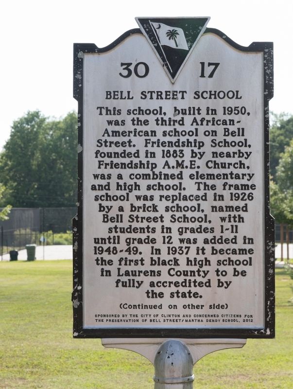
1. Bell Street School side of marker
Bell Street School. This school, built in 1950, was the third African-American school on Bell Street. Friendship School, founded in 1883 by nearby Friendship A.M.E. Church, was a combined elementary and high school. The frame school was replaced in 1926 by a brick school, named Bell Street School, with students in grades 1-11 until grade 12 was added in 1948-49. In 1937 it became the first black high school in Laurens County to be fully accredited by the state.
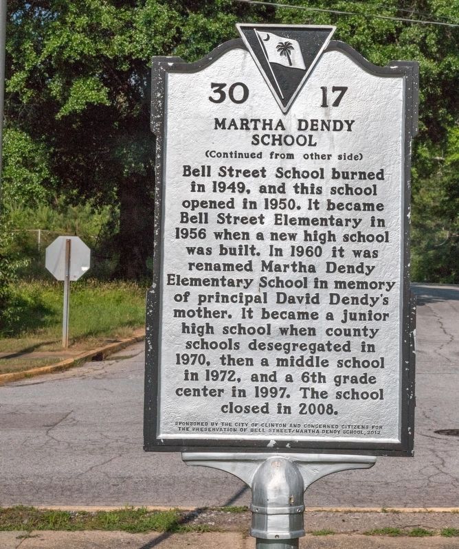
Martha Dendy School. Bell Street School burned in 1949, and this school opened in 1950. It became Bell Street Elementary in 1956 when a new high school was built. In 1960 it was renamed Martha Dendy Elementary School in memory of principal David Dendy’s mother. It became a junior high school when county schools desegregated in 1970, then a middle school in 1972, and a 6th grade center in 1997. The school closed in 2008.
Erected 2012 by Department of Archives and History. Sponsored by the City of Clinton and Concerned Citizens for the Preservation of Bell Street and the Martha Dendy School. (Marker Number 30-17.)
Topics.
this page online
Location. 34° 28.464′ N, 81° 53.581′ W. Marker is in Clinton, South Carolina, in Laurens County. It is at the intersection of North Bell Street and Washington Street Extended, on the left when traveling north on North Bell Street. Touch for map. Marker is at or near this postal address: 301 N Bell St, Clinton SC 29325, United States of America. Touch for directions.

Regionally, this marker is in Upstate. It is also in the American South and specifically in the Deep South. Globally, it is in North America, the Western Hemisphere, the Western World, and the Anglosphere. Historically, it finds itself in what was once the territory of the Mississippian Culture, one of the original Thirteen Colonies, one of the Confederate States of America, and the Antebellum South.
Other nearby markers. At least 8 other markers are within walking distance of this marker: Friendship A.M.E. Church & Cemetery / Bell Street Schools (about 700 feet away, measured in a direct line); Henry Clinton Young (approx.
Photographed by J. J. Prats, May 19, 2025
2. Martha Dendy School side of marker
Photographed by J. J. Prats, May 19, 2025
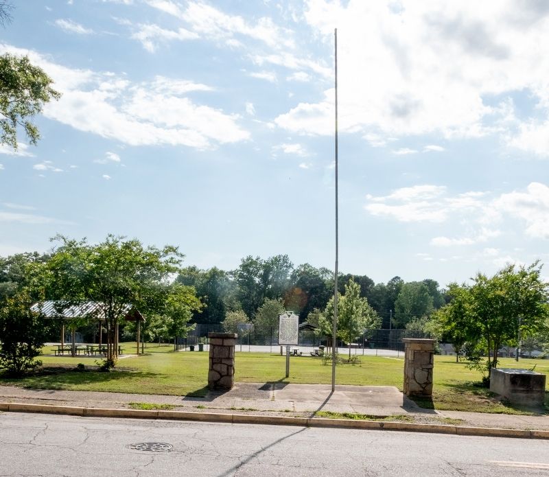
3. Bell Street School / Martha Dendy School Marker
Photographed by J. J. Prats, May 19, 2025
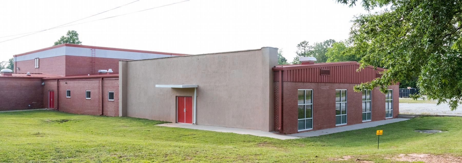
4. The former Martha Dendy Sixth Grade Center in the Martha Dendy City Park on Bell Street, Clinton SC
Credits. This page was last revised on July 6, 2025. It was originally submitted on July 6, 2025, by J. J. Prats of Powell, Ohio. This page has been viewed 232 times since then and 70 times this year. Photos: 1, 2, 3, 4. submitted on July 6, 2025, by J. J. Prats of Powell, Ohio.
