Henefer in Summit County, Utah — The American Mountains (Southwest)
James and William Hennefer
Photographed by Jeremy Snow, June 20, 2025
1. James and William Hennefer Marker
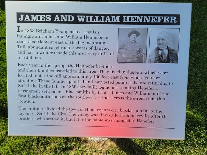
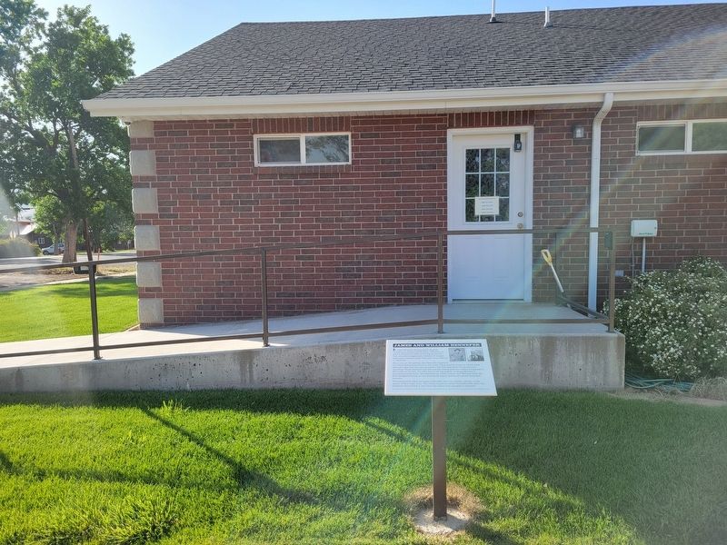
Each year in the spring, the Hennefer brothers and their families traveled to this area. They lived in dugouts which were located under the hill approximately 100 feet east from where you are standing. These families planted and harvested potatoes before returning to Salt Lake in the fall. In 1859 they built log homes, making Henefer a permanent settlement. Blacksmiths by trade, James and William built the first blacksmith shop on the southwest corner across the street from this location.
The brothers divided the town of Henefer into city blocks, similar to the layout of Salt Lake City. The valley was first called Henneferville after the brothers who settled it, but later the name was changed to Henefer.
Topics. This historical marker is listed in this topic list: Settlements & Settlers. A significant historical year for this entry is 1853.
Location. 41° 0.991′ N, 111° 29.852′ W. Marker is in
this page online

Regionally, this marker is in Utah’s Uinta Mountains, in the Wasatch Front, and in Greater Provo. It is also in the American Mountain West and on the Colorado Plateau. Globally, it is in North America, the Rocky Mountains, the Western Hemisphere, the Western World, and the Anglosphere. Historically, it finds itself in what was once New Spain and also Mexico’s Alta California.
Other nearby markers. At least 8 other markers are within walking distance of this marker: Intersection of Old Pioneer Trail of 1847 and the Lincoln Highway (here, next to this marker); Echo Gristmill (a few steps from this marker); The Pioneer Camp (a few steps from this marker); Native Americans (a few steps from this marker); Over a Century of Building (a few steps from this marker); "Mormon" Pioneer Trail (about 700 feet away, measured in a direct line); Weber Canyon Explorers Trail (approx. 0.6 miles
Photographed by Jeremy Snow, June 20, 2025
2. James and William Hennefer Marker
Photographed by Jeremy Snow, June 20, 2025
3. Hennefer Pioneer Park
Credits. This page was last revised on July 6, 2025. It was originally submitted on July 6, 2025, by Jeremy Snow of Cedar City, Utah. This page has been viewed 109 times since then and 25 times this year. Photos: 1, 2, 3. submitted on July 6, 2025, by Jeremy Snow of Cedar City, Utah. • Andrew Ruppenstein was the editor who published this page.
