Near Summerton in Clarendon County, South Carolina — The American South (South Atlantic)
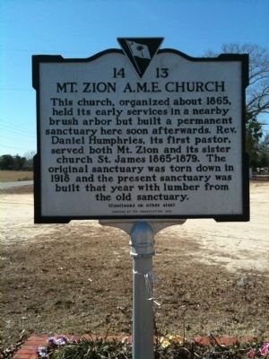
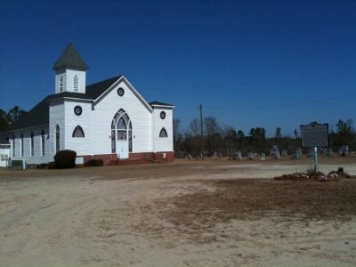
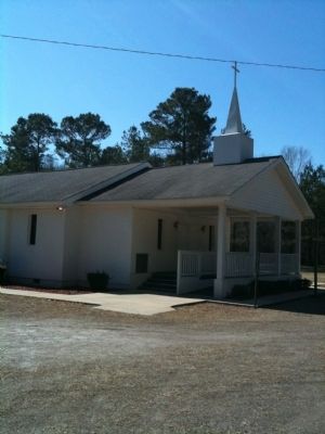
Mt. Zion A.M.E. Church
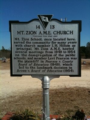
[Reverse] Mt. Zion School, once located here, served the community for many years with church member I.S. Hilton as principal. Mt. Zion A.M.E. hosted several meetings from 1948 to 1954 on the desegregation of the public schools, and member Levi Pearson was the plaintiff in Pearson v. County Board of Education (1948), which led to the landmark decision in Brown v. Board of Education (1954).
Erected 1999 by the Congregation. (Marker Number 14-13.)
Topics and series. This historical marker is listed in this topic list: Churches & Religion. In addition, it is included in the African Methodist Episcopal (AME) Church series list. A significant historical year for this entry is 1865.
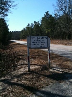
Location. 33° 32.045′ N, 80° 14.723′ W. Marker is near Summerton, South Carolina, in Clarendon County. Marker is on M W Rickenbaker Road, on the left. M W Rickenbaker Road is locally called Camp Bob Cooper Rd. Marker is about 4 miles south of Davis Station. Touch for map. Marker is in this post office area: Summerton SC 29148, United States of America. Touch for directions.
Other nearby markers. At least 8 other markers are within 8 miles of this marker, measured as the crow flies. Revolutionary Skirmish Near Wyboo Swamp (approx. 1.7 miles away); Wyboo Swamp: (approx. 1.7 miles away); Pearson Family Homesite/ Pearson V. Clarendon Co. (approx. 4.1 miles away); Taw Caw Church (approx. 7.3 miles away); Summerton Presbyterian Church (approx. 7.9 miles away); Anne Custis Burgess (approx. 7.9 miles away); The Patriot and the Redcoat (approx. 7.9 miles away); Siege of Fort Watson (approx. 7.9 miles away). Touch for a list and map of all markers in Summerton.
Credits. This page was last revised on June 16, 2016. It was originally submitted on February 21, 2010, by David Bullard of Seneca, South Carolina. This page has been viewed 1,198 times since then and 42 times this year. Photos: 1, 2, 3, 4, 5. submitted on February 21, 2010, by David Bullard of Seneca, South Carolina. • Craig Swain was the editor who published this page.
