Ogallala in Keith County, Nebraska — The American Midwest (Upper Plains)
Purple Heart
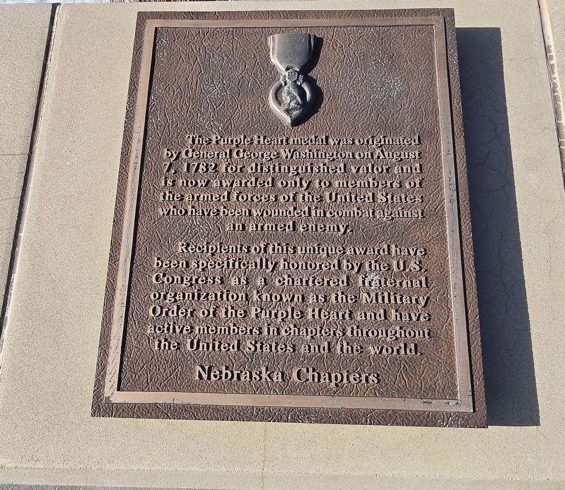
Photographed by Susan Van Den Bosch, February 24, 2025
1. Purple Heart Trail Marker
The Purple Heart medal was originated by General George Washington on August 7, 1782 for distinguished valor and now awarded only to members of the armed forces of the United States who have been wounded in combat against an armed enemy.
Recipients of this unique award have been specifically honored by the U.S. Congress as a chartered fraternal organization known as the Military Order of the Purple Heart and have active members in chapters throughout the United States and the world.
Erected by Nebraska Chapters.
Topics and series. This historical marker is listed in this topic list: Military. In addition, it is included in the Military Order of the Purple Heart series list. A significant historical year for this entry is 1782.
Location. 41° 5.959′ N, 101° 46.812′ W. Marker is in Ogallala, Nebraska, in Keith County. It is on Interstate 80 west of Big Mac Road (State Route 61), on the right when traveling east. This marker is located at the Ogallala Rest Stop on Interstate 80. The rest stop is on the south side of the highway while heading east. Touch for map. Marker is in this post office area: Ogallala NE 69153,
this page online

Regionally, this marker is in Central Nebraska. It is also in the American Midwest, in the Corn Belt, on the prairies, on the Great Plains, and specifically on the High Plains. Globally, it is in North America, the Western Hemisphere, the Western World, and the Anglosphere. Historically, it finds itself in what was once the Louisiana Purchase.
Other nearby markers. At least 8 other markers are within 4 miles of this marker, measured as the crow flies: Chain-O-Lakes (within shouting distance of this marker); Samuel David “Lep” Sanders (approx. 2.7 miles away); Oregon Trail (approx. 3.2 miles away); Sand Hill Station (approx. 3.2 miles away); The Lincoln Highway (approx. 3.6 miles away); Interstate 80 (approx. 3.6 miles away); The Union Pacific (approx. 3.6 miles away); The Mormon Trail (approx. 3.6 miles away). Touch for a list and map of all markers in Ogallala.
More about this marker. This marker was previously located at 41° 6.424′ N, 101° 45.408′ W. The old Ogallala Eastbound Rest Area was replaced by the new Ogallala Eastbound Rest Area in 2025. This marker
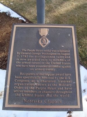
Photographed by Barry Swackhamer, December 12, 2011
2. Purple Heart Marker
Also see . . . Purple Heart - Wikipedia. (Submitted on January 2, 2012, by Barry Swackhamer of Brentwood, California.)
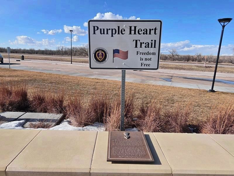
Photographed by Susan Van Den Bosch, February 24, 2025
3. Purple Heart Trail Marker

Photographed by Barry Swackhamer, December 12, 2011
4. Purple Heart Marker at its prior location
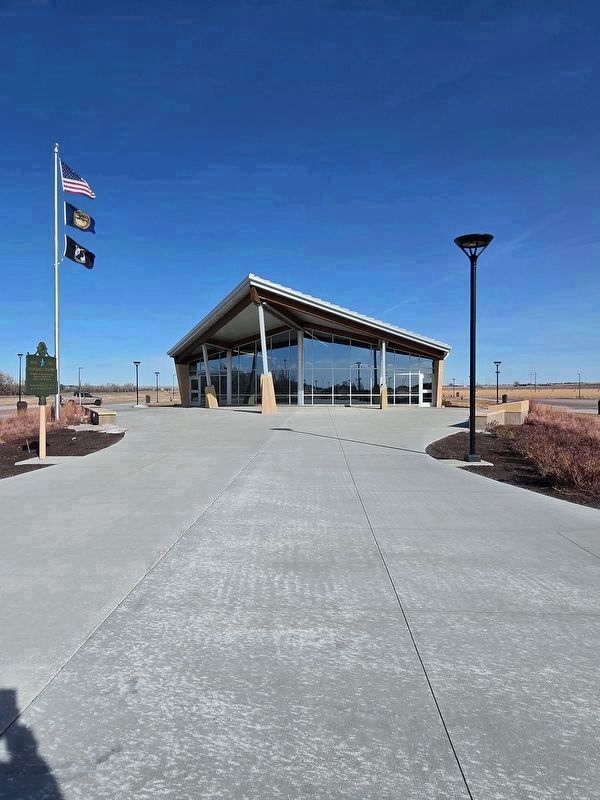
Photographed by Susan Van Den Bosch, February 24, 2025
5. The Purple Heart Marker can be found at this rest area
Credits. This page was last revised on July 8, 2025. It was originally submitted on January 2, 2012, by Barry Swackhamer of Brentwood, California. This page has been viewed 1,050 times since then and 54 times this year. Last updated on July 6, 2025, by Susan Van Den Bosch of Almond, Wisconsin. Photos: 1. submitted on July 6, 2025, by Susan Van Den Bosch of Almond, Wisconsin. 2. submitted on January 2, 2012, by Barry Swackhamer of Brentwood, California. 3. submitted on July 6, 2025, by Susan Van Den Bosch of Almond, Wisconsin. 4. submitted on January 2, 2012, by Barry Swackhamer of Brentwood, California. 5. submitted on July 6, 2025, by Susan Van Den Bosch of Almond, Wisconsin. • Devry Becker Jones was the editor who published this page.
