Ooltewah in Collegedale in Hamilton County, Tennessee — The American South (East South Central)
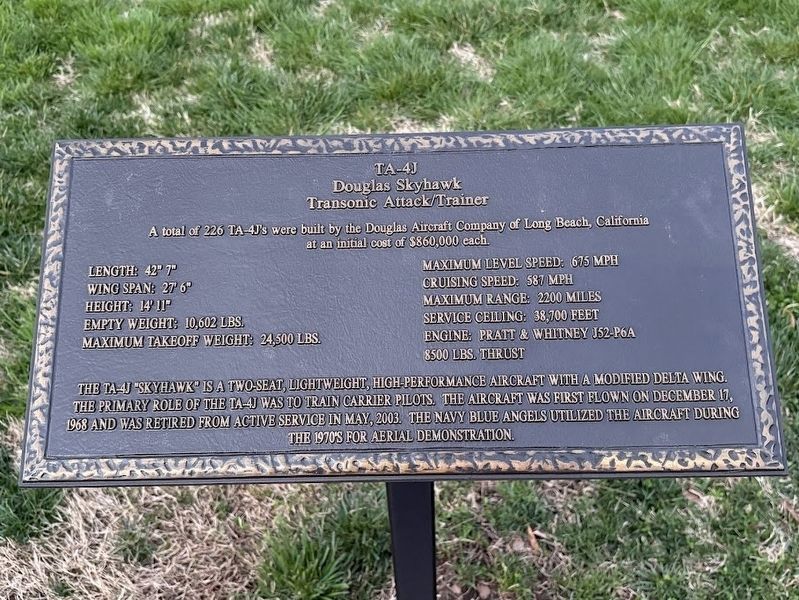
TA-4J Douglas Skyhawk Transonic Attack/Trainer
Photographed by Darren Jefferson Clay, March 16, 2025
1. TA-4J Douglas Skyhawk Transonic Attack/Trainer Marker
Length: 42'7"
Wing Span: 27'6"
Height: 14'11"
Empty Weight: 10,602 lbs
Maximum Takeoff Weight: 24,500 lbs
Maximum Level Speed: 675 mph
Cruising Speed: 587 mph
Maximum range: 2200 miles
Service Ceiling: 38,700 feet
Engine: Pratt & Whitney J52-P6A
8500 lbs. Thrust
The TA-4J "Skyhawk" is a two-seat, lightweight, high-performance aircraft with a modified delta wing. The primary role of the TA-4J was to train carrier pilots. The aircraft was first flown on December 17, 1968 and was retired from active service in May, 2003. The Navy Blue Angels utilized the aircraft during the 1970's for ariel demonstration.
Topics. This historical marker is listed in this topic list: Air & Space.
Location. 35° 3.772′ N, 85° 4.15′ W. Marker is in Collegedale, Tennessee, in Hamilton County. It is in Ooltewah. It can be reached from Ooltewah Ringgold Road north of Tennessee Route 317. Touch for map. Marker is at or near this postal address: 5071 Ooltewah
this page online

Regionally, this marker is in the American South, specifically in the Upper South, in Appalachia, and specifically in Southern Appalachia. Globally, it is in North America, the Western Hemisphere, the Western World, and the Anglosphere. Historically, it finds itself in what was once the original Cherokee Nation, the territory of the Mississippian Culture, one of the Confederate States of America, and the Antebellum South.
Other nearby markers. At least 8 other markers are within 4 miles of this marker, measured as the crow flies: Cannonballs (a few steps from this marker); M48 A5 Patton Tank (a few steps from this marker); Corporal Desmond T. Doss (within shouting distance of this marker); AH-1 Cobra Attack Helicopter (within shouting distance of this marker); County of James (approx. 0.8 miles away); Kenneth A. Wright Hall (approx. 1.4 miles away); Order of the Southern Cross (approx. 3½ miles away); N.B. Forrest Camp U.C.V and U.D.C. Chapters (approx. 3.6 miles away). Touch for a list and map of all markers in Collegedale.

Photographed by Darren Jefferson Clay, March 16, 2025
2. TA-4J Douglas Skyhawk Transonic Attack/Trainer Marker
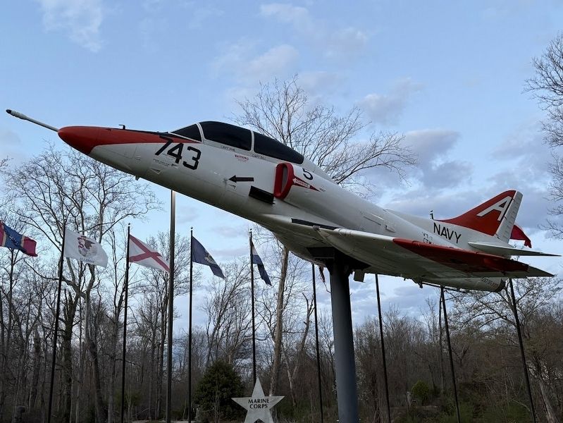
Photographed by Darren Jefferson Clay, March 16, 2025
3. TA-4J Douglas Skyhawk Transonic Attack/Trainer
Credits. This page was last revised on July 8, 2025. It was originally submitted on July 6, 2025, by Darren Jefferson Clay of Duluth, Georgia. This page has been viewed 191 times since then and 70 times this year. Photos: 1, 2, 3. submitted on July 6, 2025, by Darren Jefferson Clay of Duluth, Georgia. • James Hulse was the editor who published this page.
