
Ogden in Weber County, Utah — The American Mountains (Southwest)
Bingham's Fort
Photographed by Jeremy Snow, June 21, 2025
1. Bingham's Fort Marker
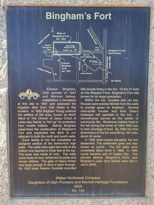
Each family in the fort completed an assigned section of the twelve-foot high walls. The walls were eight feet wide at the bottom and tapered to three feet at the top. The base was made of rock. The walls were made of mud, reinforced by poles and woven willows. The gate of heavy timber was large enough to drive a team through. By 1854 Isaac Newton Goodale recorded 562 people living in the fort. Of the 21 forts on the Wasatch Front, Bingham's Fort was known for its large population.
Within the fort, Goodale laid out lots. Houses were erected 66 feet from the walls to provide space for livestock. Several mercantile houses and Sam Gate's molasses
this page online
In 1856 when peace prevailed, the fort disbanded. The settlement grew and was known as Lynne. The fort walls were completely taken down in 1888. In 1890 Lynne became part of Ogden City. The pioneer ditches, Bingham's Farm, and Bingham's Lane (2nd Street) were still in use in 2005.
Erected 2005 by Daughters of Utah Pioneers. (Marker Number 164.)
Topics and series. This historical marker is listed in these topic lists: Forts and Castles • Settlements & Settlers. In addition, it is included in the Daughters of Utah Pioneers series list. A significant historical year for this entry is 1853.
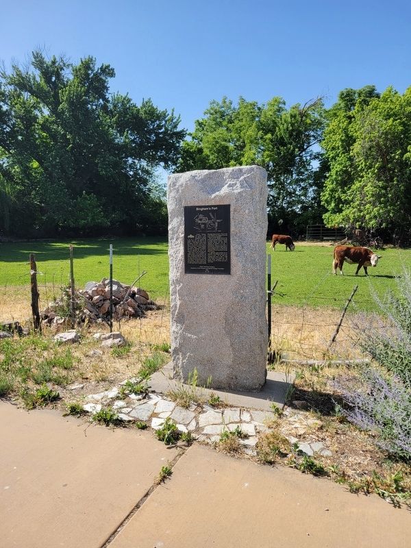
Location. 41° 15.555′ N, 111° 59.078′ W. Marker is in Ogden, Utah, in Weber County. It is on West 2nd Street west of Wall Avenue, on the right when traveling east. Touch for map. Marker is at or near this postal address: 317 W 2nd Street, Ogden UT 84404, United States of America. Touch for directions.

Regionally,
Photographed by Jeremy Snow, June 21, 2025
2. Bingham's Fort Marker
Other nearby markers. At least 8 other markers are within 2 miles of this marker, measured as the crow flies: Oldest Neighborhood / Bingham Fort / History in Plain Sight (approx. 0.3 miles away); Settlement of Lynne (approx. 0.6 miles away); Levi & Josephine Taylor House (approx. 1.3 miles away); Defense Depot Ogden (approx. 1.4 miles away); J. Willard Marriott Birthplace (approx. 1.4 miles away); Chief Terikee (approx. 1½ miles away); John Marriott and Susannah Fowkes Marriott Home Site (approx. 1½ miles away); Marriott School (approx. 1.6 miles away). Touch for a list and map of all markers in Ogden.
Credits. This page was last revised on July 6, 2025. It was originally submitted on July 6, 2025, by Jeremy Snow of Cedar City, Utah. This page has been viewed 187 times since then and 82 times this year. Photos: 1, 2. submitted on July 6, 2025, by Jeremy Snow of Cedar City, Utah. • Andrew Ruppenstein was the editor who published this page.
