Grant in Marshall County, Alabama — The American South (East South Central)
Site of 1954 Crash of Air Force Cargo Plane
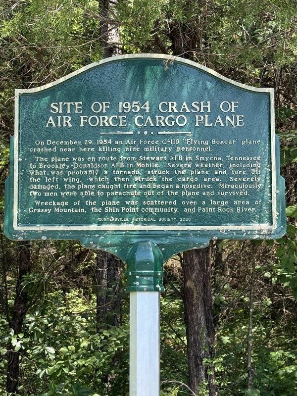
Photographed by Deborah Spencer, July 6, 2025
1. Site of 1954 Crash of Air Force Cargo Plane Marker
Erected 2020 by Guntersville Historical Society.
Topics. This historical marker is listed in these topic lists: Air & Space • Disasters. A significant historical date for this entry is December 29, 1954.
Location. 34° 29.745′ N, 86° 23.123′ W. Marker is in Grant, Alabama, in Marshall County. It is at the intersection of Simpson Point Road (County Route 466) and Old US Highway 431, on the right when traveling north on Simpson Point Road. Marker is on the right side of the road just past the intersection of Simpson Point Road
this page online

Regionally, this marker is in North Alabama. It is also in the American South, specifically in the Deep South, in Appalachia, and specifically in Southern Appalachia. Globally, it is in North America, a Gulf of Mexico state, the Western Hemisphere, the Western World, and the Anglosphere. Historically, it finds itself in what was once the original Cherokee Nation, the territory of the Mississippian Culture, one of the Confederate States of America, and the Antebellum South.
Other nearby markers. At least 8 other markers are within 5 miles of this marker, measured as the crow flies: New Hope Cemetery / Town of New Hope (approx. 2.6 miles away); Fort Deposit Trail (approx. 2.9 miles away); Vienna (New Hope) (approx. 2.9 miles away); Walnut Grove Cumberland Presbyterian Church (approx. 4.1 miles away); Guntersville Dam (approx. 4.8 miles away); A Valley of Hardships (approx. 5.1 miles
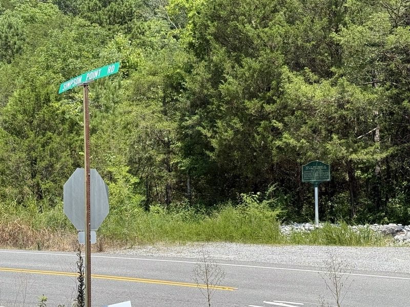
Photographed by Deborah Spencer, July 6, 2025
2. Site of 1954 Crash of Air Force Cargo Plane Marker
Credits. This page was last revised on July 8, 2025. It was originally submitted on July 7, 2025, by Deborah Spencer of Huntsville, Alabama. This page has been viewed 526 times since then and 221 times this year. Photos: 1, 2. submitted on July 7, 2025, by Deborah Spencer of Huntsville, Alabama. • James Hulse was the editor who published this page.
