Islamorada in Monroe County, Florida — The American South (South Atlantic)
Matecumbe Methodist Church
Photographed by Patrick Duggan, July 6, 2025
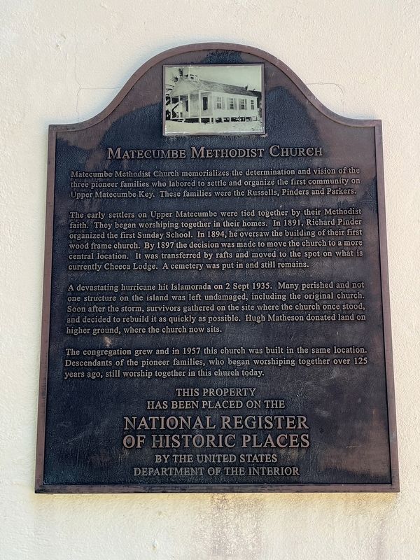
1. Matecumbe Methodist Church Marker
The early settlers on Upper Matecumbe were tied together by their Methodist faith. They began worshiping together in their homes. In 1891, Richard Pinder organized the first Sunday School. In 1894, he oversaw the building of their first wood frame church. By 1897 the decision was made to move the church to a more central location. It was transferred by rafts and moved to the spot on what is currently Cheeca Lodge. A cemetery was put in and still remains.
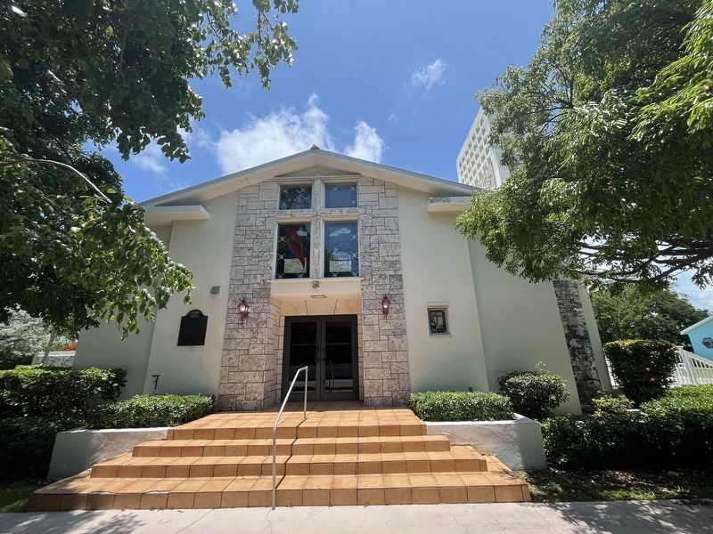
A devastating hurricane hit Islamorada on 2 Sept 1935. Many perished and not one structure on the island was left undamaged, including the original church. Soon after the storm, survivors gathered on the site where the church once stood, and decided to rebuild it as quickly as possible. Hugh Matheson donated land on higher ground, where the church now sits. The congregation grew and in 1957 this church was built in the same location.
this page online
This property has been placed on the National Register of Historic Places by the United States Department of the Interior
Topics. This historical marker is listed in these topic lists: Disasters • Religion & Religious Structures • Settlements & Settlers. A significant historical year for this entry is 1891.
Location. 24° 55.032′ N, 80° 38.131′ W. Marker is in Islamorada, Florida, in Monroe County. It is on Old Highway north of Johnston Road, on the left when traveling north. Touch for map. Marker is at or near this postal address: 81831 Overseas Highway, Islamorada FL 33036, United States of America. Touch for directions.

Regionally, this marker is on the Florida Keys. It is also in the American South and on the Gulf Coast. Globally, it is in the North Atlantic Region, North America, a Gulf of Mexico state, the Western Hemisphere, the Western World, and the Anglosphere. Historically, it finds itself in what was once New Spain, the territory of the Mississippian Culture, one of
Photographed by Patrick Duggan, July 6, 2025
2. Matecumbe Methodist Church and Marker
Other nearby markers. At least 8 other markers are within walking distance of this marker: Hurricane Monument (within shouting distance of this marker); The 1935 Hurricane (within shouting distance of this marker); The Florida Keys Memorial (within shouting distance of this marker); Helen Wadley Branch Library (about 300 feet away, measured in a direct line); The Sweeting House (about 500 feet away); Hurricane Houses (about 600 feet away); Pioneer Cemetery (approx. 0.2 miles away); Green Turtle Inn (approx. half a mile away). Touch for a list and map of all markers in Islamorada.
Also see . . . Matecumbe Methodist Church History. (Submitted on July 7, 2025.)
Photographed by Patrick Duggan, July 6, 2025
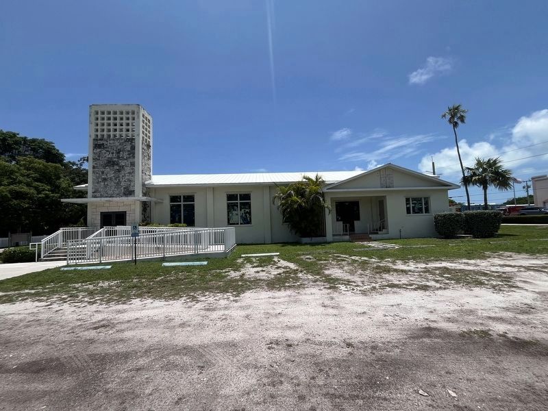
3. Matecumbe Methodist Church
Credits. This page was last revised on July 7, 2025. It was originally submitted on July 7, 2025, by Patrick Duggan of Los Angeles, California. This page has been viewed 135 times since then and 27 times this year. Photos: 1, 2, 3. submitted on July 7, 2025, by Patrick Duggan of Los Angeles, California. • Bernard Fisher was the editor who published this page.
