Crosshill in Wellesley in Waterloo Region, Ontario — Central Canada (North America)
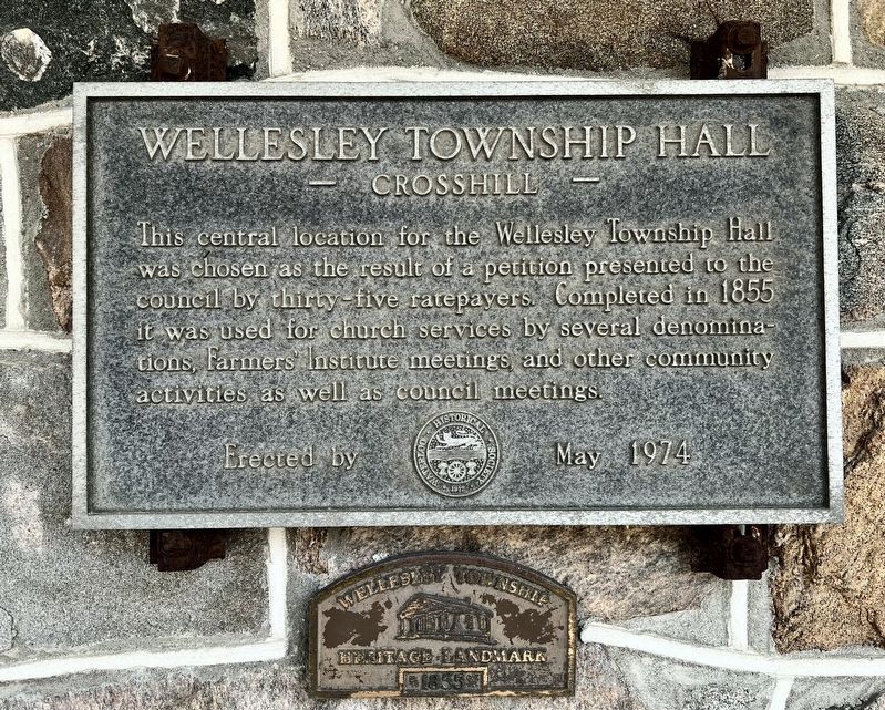
Wellesley Township Hall
- Crosshill -
Photographed by Tim Boyd, July 4, 2025
1. Wellesley Township Hall Marker
Erected 1974 by Waterloo historical Society.
Topics. This historical marker is listed in these topic lists: Religion & Religious Structures • Settlements & Settlers. A significant historical year for this entry is 1855.
Location. 43° 31.858′ N, 80° 44.502′ W. Marker is in Wellesley, Ontario, in Waterloo Region. It is in Crosshill. It is at the intersection of Hutchison Road and William Hastings Line, on the right when traveling west on Hutchison Road. Touch for map. Marker is at or near this postal address: 4805 William Hastings Line, Wellesley ON N0K 1L0, Canada. Touch for directions.

Regionally, this marker is in the Huron-Perth-Waterloo-Wellington Area and in Southwestern Ontario. It is also in Central Canada. Globally, it is in North America, the Western Hemisphere, the Western World, and
this page online
Other nearby markers. At least 8 other markers are within 18 kilometers of this marker, measured as the crow flies: Emancipation Day Celebration Temperance Island, 1863 (approx. 9.6 kilometers away); The Founding of Milverton (approx. 14.9 kilometers away); The First Amish Settlement (approx. 15.1 kilometers away); Castle Kilbride/ Le Château Kilbride (approx. 15.2 kilometers away); Sir Adam Beck’s Birthplace (approx. 15.5 kilometers away); Hartman Bridge (approx. 17.2 kilometers away); The Founding of New Hamburg (approx. 17.2 kilometers away); The Nith River / La rivière Nith (approx. 17.2 kilometers away).
Also see . . . History of Wellesley Township (Wellesley Township Heritage and Historical Society).
History of Wellesley Township(Submitted on July 7, 2025, by Tim Boyd of Hamilton, Ontario.)
The Township of Wellesley is located in the northwest corner of what is now the Region of Waterloo. It was settled later than the other townships in Waterloo County because it was part of “The Queen’s Bush,”a vast tract of land set aside as Clergy Reserves. The area stretched north to Georgian Bay and west to Lake Huron, between the developed lands to the south-west and the lands of the German Company to the east.Photographed by Tim Boyd, July 4, 20252. Wellesley Township Hall Marker
Clergy Reserves were areas set aside for the maintenance of the Protestant church in Canada. Proceeds from the sale or rent of land provided income for the church. The usual practice was to set aside every seventh lot, but in Wellesley the entire township was set aside. There was some controversy about this system and by 1840 the creation of new Clergy Reserves was abolished.
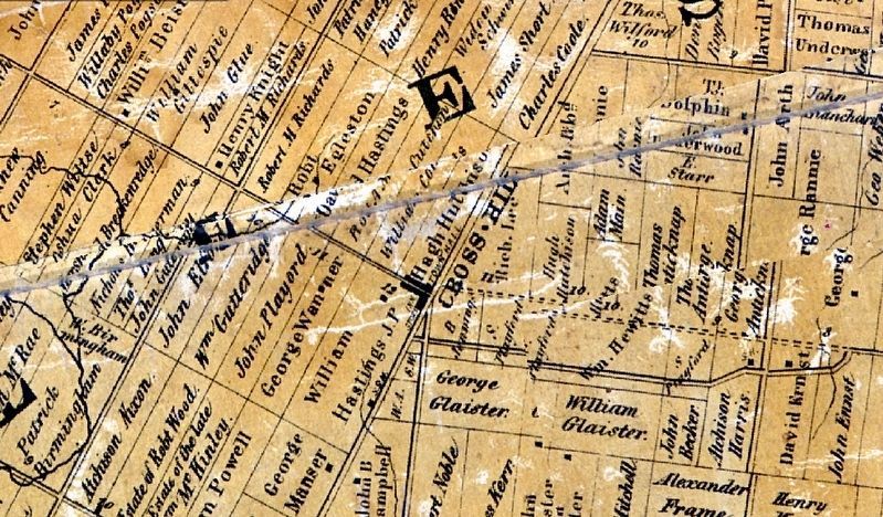
3. Crosshill Village in 1861, showing the Town hall
Source: University of Toronto Digital Map Collection
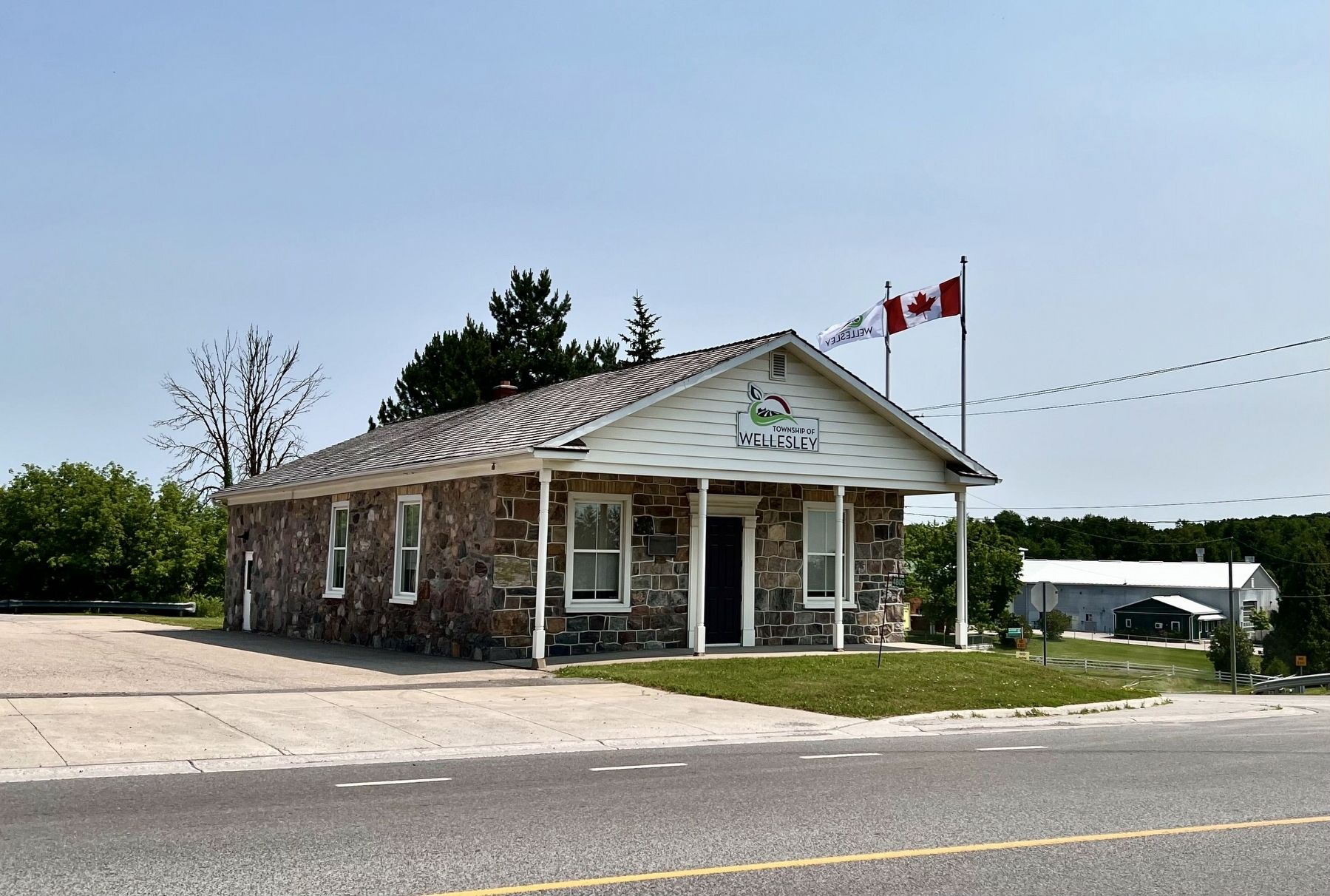
Photographed by Tim Boyd, July 4, 2025
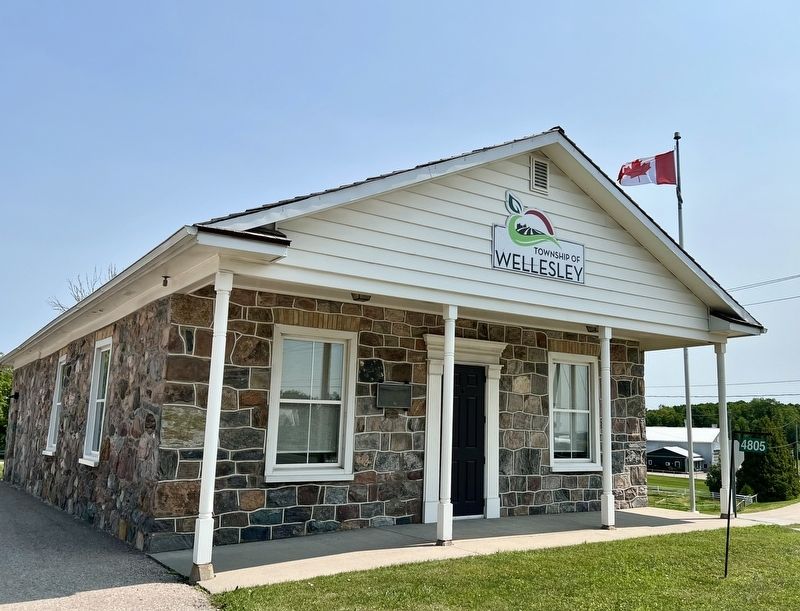
4. Wellesley Township Hall in 2025
Credits. This page was last revised on July 9, 2025. It was originally submitted on July 7, 2025, by Tim Boyd of Hamilton, Ontario. This page has been viewed 100 times since then and 27 times this year. Photos: 1, 2, 3, 4. submitted on July 7, 2025, by Tim Boyd of Hamilton, Ontario. • Andrew Ruppenstein was the editor who published this page.
