Yanceyville in Caswell County, North Carolina — The American South (South Atlantic)
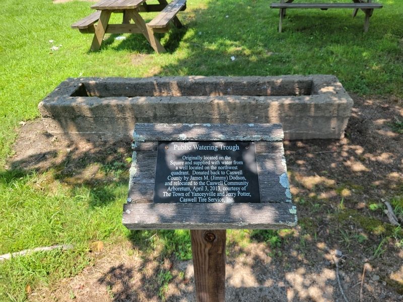
Public Watering Trough

Photographed by C. Ryan Dodson, July 5, 2025
1. Public Watering Trough Marker
Erected 2013 by Caswell County Historical Association.
Topics. This historical marker is listed in this topic list: Animals.
Location. 36° 24.154′ N, 79° 20.199′ W. Marker is in Yanceyville, North Carolina, in Caswell County. It can be reached from Fire Department Drive south of Court Square, on the right when traveling south. The Marker is located at the Caswell Community Arboretum. Touch for map. Marker is at or near this postal address: 144 Court Square, Yanceyville NC 27379, United States of America. Touch for directions.

Regionally, this marker is in the Piedmont. It is also in the American South and specifically in the Upper South. Globally, it is in North America, the Western Hemisphere, the Western World, and the Anglosphere. Historically, it
this page online
Other nearby markers. At least 8 other markers are within walking distance of this marker: Old Caswell County Jail (a few steps from this marker); Old Poteat School (within shouting distance of this marker); Courthouse Fence (1861-1941) (within shouting distance of this marker); Long's Mill (within shouting distance of this marker); The Veteran's Walk (within shouting distance of this marker); Caswell Courthouse (within shouting distance of this marker); Millstone Water Feature (about 300 feet away, measured in a direct line); Veterans Memorial (about 300 feet away). Touch for a list and map of all markers in Yanceyville.
Photographed by C. Ryan Dodson, July 5, 2025
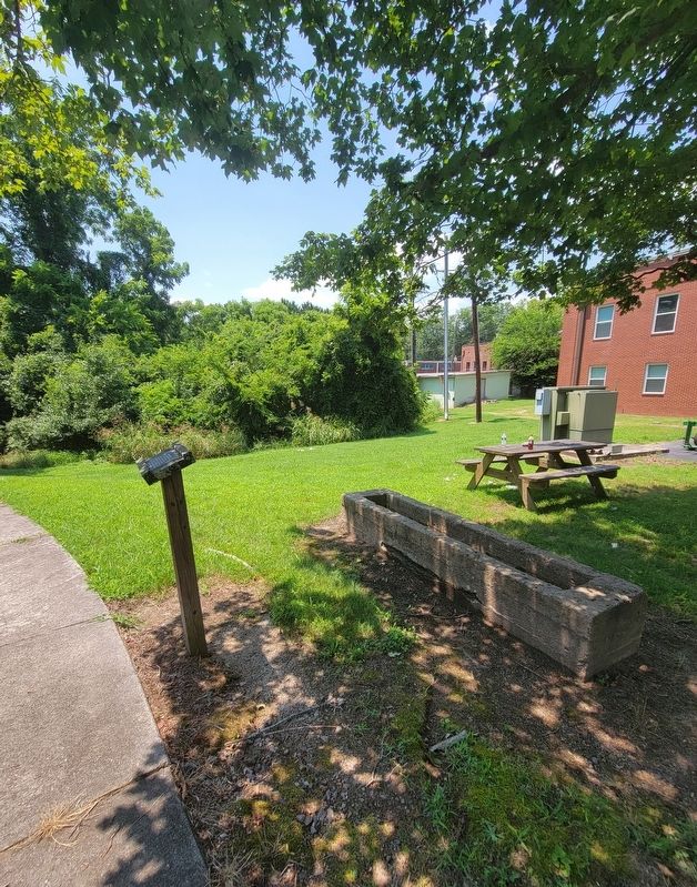
2. Public Watering Trough Marker
Photographed by C. Ryan Dodson, July 5, 2025
3. Public Watering Trough Marker
Photographed by C. Ryan Dodson, July 5, 2025
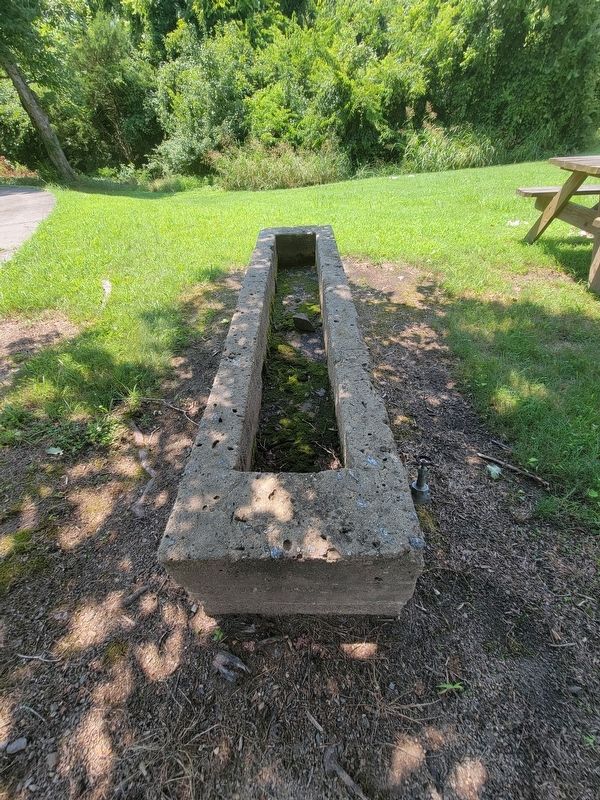
4. Public Watering Trough
Photographed by C. Ryan Dodson, July 5, 2025
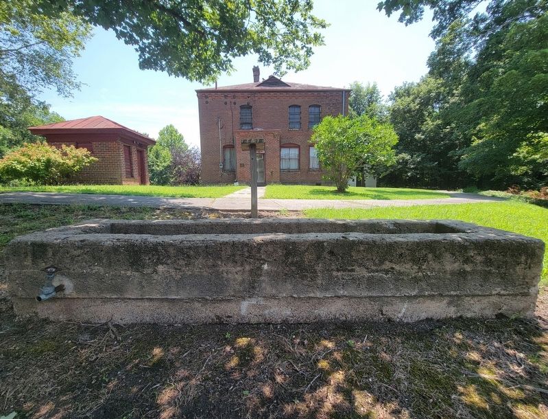
5. Public Watering Trough
Credits. This page was last revised on July 8, 2025. It was originally submitted on July 7, 2025, by C. Ryan Dodson of Danville, Virginia. This page has been viewed 94 times since then and 20 times this year. Photos: 1, 2, 3, 4, 5. submitted on July 7, 2025, by C. Ryan Dodson of Danville, Virginia. • Bernard Fisher was the editor who published this page.
