Near Cache in Alexander County, Illinois — The American Midwest (Great Lakes)
Lewis and Clark in Illinois

Photographed by Mark Parker, July 5, 2025
1. Lewis and Clark in Illinois Marker
Erected 2003 by The State of Illinois, Illinois Lewis and Clark Bicentennial Commission, Alexander County Tourism.
Topics and series. This historical marker is listed in this topic list: Exploration. In addition, it is included in the Lewis & Clark Expedition series list. A significant historical date for this entry is November 20, 1803.
Location. 37° 5.545′ N, 89° 15.364′ W. Marker is near Cache, Illinois, in Alexander County. It is at the intersection of Illinois Route 3 and Mississippi Levee Road, on the right when traveling south on Illinois Route 3. The marker is just south of the Cache River Bridge at a gravel turnoff. Touch for map. Marker is at or near this postal address: 17986 IL-3, Cairo IL 62914, United States of America. Touch for directions.

Regionally, this marker is in Southern Illinois — Little Egypt. It is also in the American
this page online
Other nearby markers. At least 8 other markers are within 5 miles of this marker, measured as the crow flies: A different marker also named Lewis and Clark in Illinois (approx. 4 miles away); Navy Seabees Memorial (approx. 4.3 miles away); In Honor of Those Who Gave the Ultimate Sacrifice (approx. 4.3 miles away); A National Cemetery System (approx. 4.3 miles away); Mound City National Cemetery (approx. 4.3 miles away); Confederate Soldiers Memorial (approx. 4.3 miles away); America's Medal Of Honor Memorial Tree (approx. 4.3 miles away); Cairo, Illinois (approx. 4½ miles away).
Photographed by Mark Parker, July 5, 2025
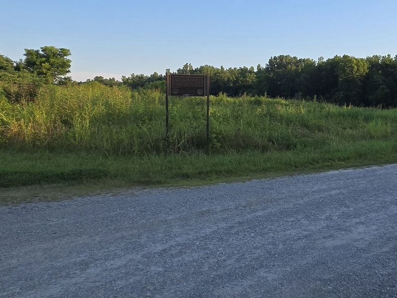
2. Lewis and Clark in Illinois Marker at gravel turnoff to Mississippi Levee Road

Photographed by Mark Parker, July 5, 2025
3. Gravel road turnoff from Ill Hwy 3 just south of Cache River Bridge
Credits. This page was last revised on July 10, 2025. It was originally submitted on July 9, 2025, by Mark Parker of Hickory, North Carolina. This page has been viewed 138 times since then and 41 times this year. Photos: 1, 2, 3. submitted on July 9, 2025, by Mark Parker of Hickory, North Carolina. • Andrew Ruppenstein was the editor who published this page.
