Walkerton in Bruce County, Ontario — Central Canada (North America)
Greenock
Photographed by Tim Boyd, July 4, 2025
1. Greenock Marker
Inscription.
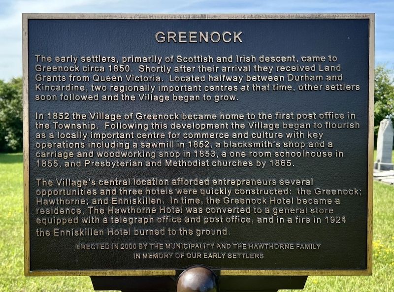
Greenock. . The early settlers, primarily of Scottish and Irish descent, came to Greenock circa 1850. Shortly after their arrival they received Land Grants from Queen Victoria. Located halfway between Durham and Kincardine, two regionally important centres at that time, other settlers soon followed and the Village began to grow. In 1852 the Village of Greenock became home to the first post office in the Township. Following this development the Village began to flourish as a locally important centre for commerce and culture with key operations including a sawmill in 1852, a blacksmith's shop and a carriage and woodworking shop in 1853, a one room schoolhouse in 1855, and Presbyterian and Methodist churches by 1865. The Village's central location afforded entrepreneurs several opportunities and three hotels were quickly constructed: the Greenock, Hawthorne, and Enniskillen, In time, the Greenock Hotel became a residence, The Hawthorne Hotel was converted to a general store equipped with a telegraph office and post office, and in a fire in 1924 the Enniskillen Hotel burned to the ground.
The early settlers, primarily of Scottish and Irish descent, came to Greenock circa 1850. Shortly after their arrival they received Land Grants from Queen Victoria. Located halfway between Durham and Kincardine, two regionally important centres at that time, other settlers soon followed and the Village began to grow.
In 1852 the Village of Greenock became home to the first post office in the Township. Following this development the Village began to flourish as a locally important centre for commerce and culture with key operations including a sawmill in 1852, a blacksmith's shop and a carriage and woodworking shop in 1853, a one room schoolhouse in 1855, and Presbyterian and Methodist churches by 1865.
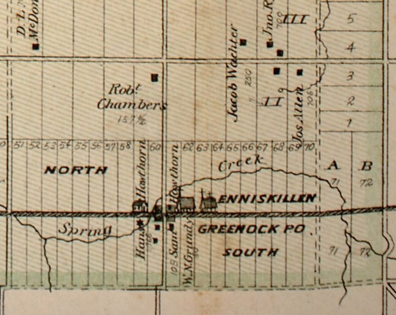
The Village's central location afforded entrepreneurs several opportunities and three hotels were quickly constructed: the Greenock, Hawthorne, and Enniskillen, In time, the Greenock Hotel became a residence, The Hawthorne Hotel was converted to a general store equipped with a telegraph office and post office, and in a fire in 1924 the Enniskillen Hotel burned to the ground.
Erected 2000 by Municipality of Brockton/
Click or scan to see this page online
Hawthorne Family.
Topics. This historical marker is listed in this topic list: Settlements & Settlers. A significant historical year for this entry is 1850.
Location. 44° 6.043′ N, 81° 15.344′ W. Marker is in Walkerton, Ontario, in Bruce County. It is on Ontario Highway 9 0.4 kilometers east of Sideroad 5 Greenock, on the right when traveling west. Touch for map. Marker is at or near this postal address: 2856 ON-9, Walkerton ON N0G 2V0, Canada. Touch for directions.
Regionally, this marker is in Georgian Bay Country and in Southwestern Ontario. It is also in Central Canada. Globally, it is in North America, the Western Hemisphere, the Western World, and the Anglosphere. Historically, it finds itself in what was once a British colony, the Viceroyalty of New France, the Haudenosaunee (Iroquois) Confederacy, and Rupert’s Land.
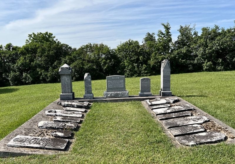
4. Preserved headstones in the former Greenock Methodist Church Cemetery
Credits. This page was last revised on July 11, 2025. It was originally submitted on July 10, 2025, by Tim Boyd of Hamilton, Ontario. This page has been viewed 86 times since then and 23 times this year. Photos:1, 2, 3, 4. submitted on July 10, 2025, by Tim Boyd of Hamilton, Ontario. • Andrew Ruppenstein was the editor who published this page.