Hanover in Grey County, Ontario — Central Canada (North America)
The Founding of Hanover
⎯⎯⎯
La Fondation de Hanover
Photographed by Tim Boyd, July 4, 2025
1. The Founding of Hanover Marker

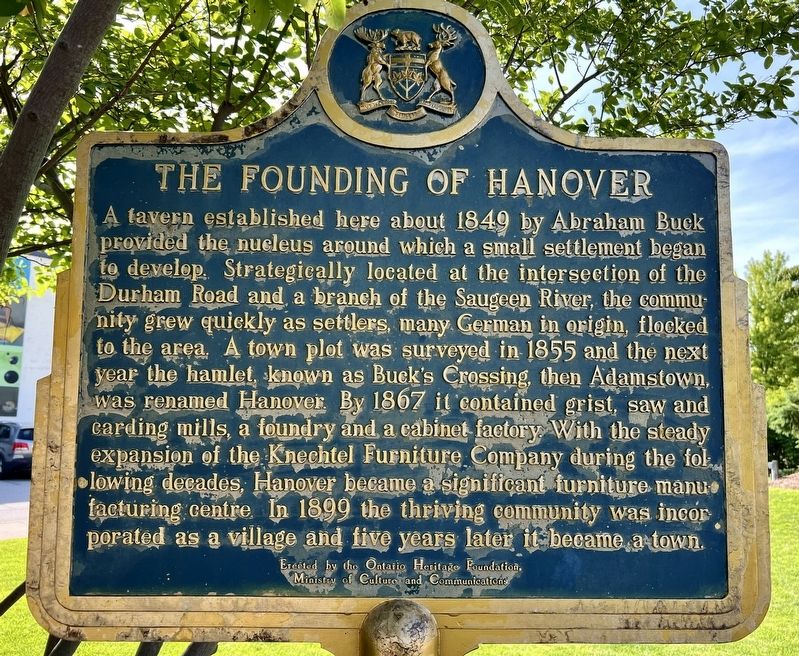
A tavern established here about 1849 by Abraham Buck provided the nucleus around which a small settlement began to develop. Strategically located at the intersection of the Durham Road and a branch of the Saugeen River, the community grew quickly as settlers, many German in origin, flocked to the area. A town plot was surveyed in 1855 and the next year the hamlet, known as Buck's Crossing, then Adamstown, was renamed Hanover. By 1867 it contained grist, saw and carding mills, a foundry and a cabinet factory With the steady expansion of the Knechtel Furniture Company during the following decades, Hanover became a significant furniture manufacturing centre. In 1899 the thriving community was incorporated as a village and five years later it became a town.
Une auberge établie ich vers 1849 par Abraham Buck fut de noyau autour duquel un petit hameau commença à se former. De par son emplacement stratégique, sau croisement du chemin Durham et d'un bras de la rivière Saugeen il grandit rapide ment avec l'arrivée massive de colons, dont plusieurs étaient d'origine
this page online
Erected by Ontario Heritage Foundation.
Topics and series. This historical marker is listed in these topic lists: Industry & Commerce • Settlements & Settlers. In addition, it is included in the Canada, Ontario Heritage Trust series list. A significant historical year for this entry is 1849.
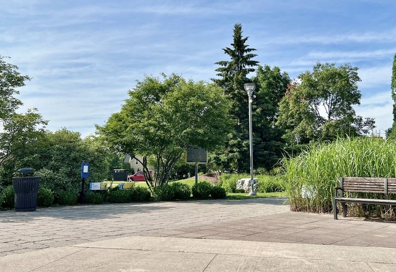
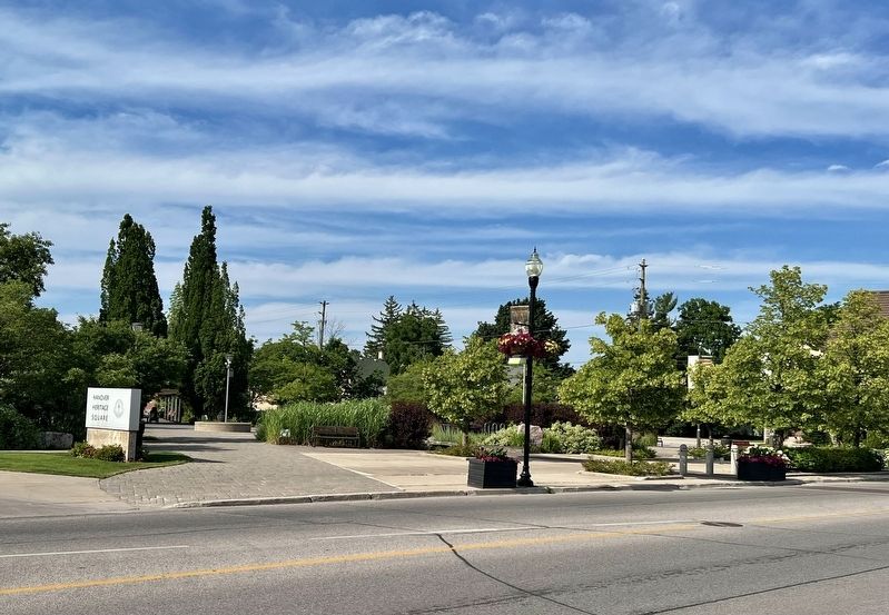
Location. 44° 9.156′ N, 81° 1.554′ W. Marker is in Hanover, Ontario, in Grey County. It is on 10th Street 0.1 kilometers east of 10th Avenue, on the right when traveling west. The marker is in Hanover Heritage Square Park. Touch for map. Marker is at or near this postal address: 334 10th Street, Hanover ON N4N N4N, Canada. Touch for directions.

Regionally,
![The Founding of Hanover / La Fondation de Hanover Marker [français] image. Click for full size.](Photos8/880/Photo880657.jpg?7102025100800PM "The Founding of Hanover / La Fondation de Hanover Marker [français]. Click for full size.")
Photographed by Tim Boyd, July 4, 2025
2. The Founding of Hanover / La Fondation de Hanover Marker [français]
Other nearby markers. At least 8 other markers are within 21 kilometers of this marker, measured as the crow flies: Hanover Cenotaph (within shouting distance of this marker); Daniel Knechtel 1843 - 1936 (within shouting distance of this marker); “Tommy Burns” (within shouting distance of this marker); The Rt. Hon. John G. Diefenbaker (approx. 8.3 kilometers away); The Founding of Walkerton (approx. 9.8 kilometers away); Founding of Durham (approx. 16.2 kilometers away); 2 Elora Street (approx. 20.8 kilometers away); The Founding of Clifford (approx. 20.8 kilometers away). Touch for a list and map of all markers in Hanover.
Photographed by Tim Boyd, July 4, 2025
3. The Founding of Hanover / La Fondation de Hanover Marker
Photographed by Tim Boyd, July 4, 2025
4. Hanover Heritage Square Park
Credits. This page was last revised on July 22, 2025. It was originally submitted on July 10, 2025, by Tim Boyd of Hamilton, Ontario. This page has been viewed 132 times since then and 41 times this year. Photos: 1, 2, 3, 4. submitted on July 10, 2025, by Tim Boyd of Hamilton, Ontario. • Andrew Ruppenstein was the editor who published this page.
