Manistique in Schoolcraft County, Michigan — The American Midwest (Great Lakes)
Manistique Water Tower
Photographed by Mark Parker, June 25, 2025
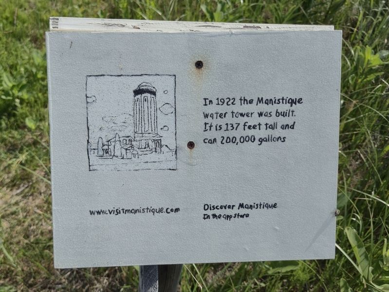
1. Manistique Water Tower Marker
In 1922 the Manistique water tower was built. It is 137 feet tall and can 200,000 gallons
www.visitmanistique.com
Topics. This historical marker is listed in this topic list: Landmarks. A significant historical year for this entry is 1922.
Location. 45° 57.037′ N, 86° 13.711′ W. Marker is in Manistique, Michigan, in Schoolcraft County. It can be reached from West Lakeshore Drive (U.S. 2), on the right when traveling west. To reach the marker, park at boardwalk parking area near Manistique Avenue and East Lakeshore Drive. The marker is approximately 6/10 of a mile along the boardwalk trail. Touch for map. Marker is at or near this postal address: 801 W Lakeshore Dr, Manistique MI 49854, United States of America. Touch for directions.

Regionally, this marker is on the Upper Peninsula. It is also in the American Midwest. Globally, it is in North America, in the Great North Woods, on the Great Lakes, in the Western Hemisphere, in the Western World, and in the Anglosphere. Historically, it finds itself in what was once the Northwest Territory.
Other nearby markers. At least 8 other markers are within walking distance
this page online
Regarding Manistique Water Tower. The marker text is likely missing the word 'hold' between 'can' and '200,000'.
Also see . . . Schoolcraft County Historical Park Schoolcraft County Historical Park & Water Tower Pioneer Park.
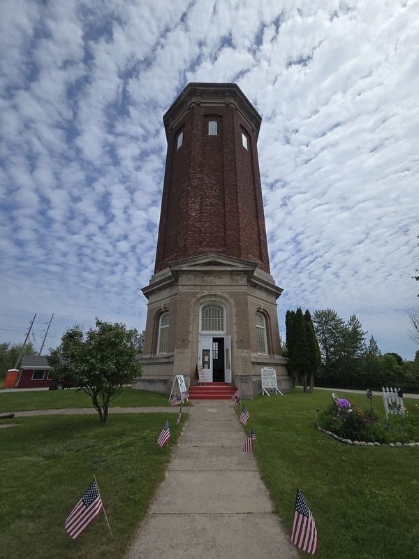
The Water Tower was built in 1922 and held a 200,000 gallon water tank. Its uniqueness lies in its architecture – it is an octagonal red brick structure that is 137 feet tall, while most water towers are basic steel structures that lack the detail found here. While no longer used for water storage, the tower still stands strong and proud and is now part(Submitted on July 11, 2025, by Mark Parker of Hickory, North Carolina.)of a complex of historical buildings in the Schoolcraft County Historical Society’s collection.Photographed by Mark Parker, June 25, 20252. Manistique Water Tower on Deer Street in Manistique

Photographed by Mark Parker, June 25, 2025
3. Manistique Water Tower Marker along the Manistique Boardwalk
Credits. This page was last revised on July 13, 2025. It was originally submitted on July 11, 2025, by Mark Parker of Hickory, North Carolina. This page has been viewed 114 times since then and 42 times this year. Photos: 1, 2, 3. submitted on July 11, 2025, by Mark Parker of Hickory, North Carolina. • J. Makali Bruton was the editor who published this page.
