Gouda, South Holland, Netherlands — Northwestern Europe
Voormalige synagoge
⎯⎯⎯
Former Synagogue
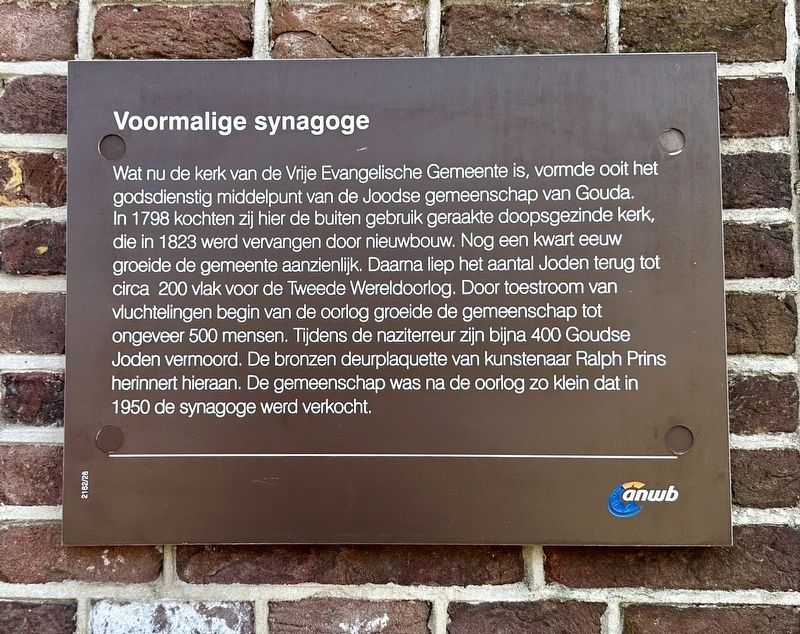
Photographed by Andrew Ruppenstein, June 21, 2025
1. Voormalige synagoge / Former Synagogue Marker

Erected by the
this page online
Topics and series. This historical marker is listed in this topic list: Religion & Religious Structures. In addition, it is included in the Synagogues series list. A significant historical year for this entry is 1798.
Location. 52° 0.715′ N, 4° 42.492′ E. Marker is in Gouda, Zuid-Holland (South Holland). It is on Turfmarkt, on the right when traveling north. Touch for map. Marker is at or near this postal address: Turfmarkt 23, Gouda, Zuid-Holland 2801 HB, Netherlands. Touch for directions.

Regionally, it is in Europe, the European Union, Atlantic Europe, the Benelux Low Countries, the Schengen Area, Western Europe, and the Western World. Historically, it finds itself in what was once the Roman Empire and specifically also the Holy Roman Empire.
Other nearby markers. At least 8 other markers are within walking distance of this marker: Gouda Synagogue Holocaust Memorial (here, next to this marker); Turfmarkt 54, 54a en 56 (within shouting distance of this marker); Woonhuis voogd Erasmus / Home of Erasmus’ Guardian (within shouting distance of this marker); Bank de wed. Knox and Dortland / Bank of the Widow Knox and Dortland
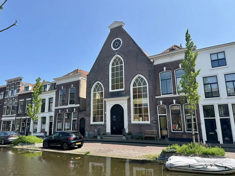
Photographed by Andrew Ruppenstein, June 21, 2025
2. Voormalige synagoge / Former Synagogue and Marker
The marker is visible here on the right edge of the building, just above the bench.
Also see . . . Gouda (Joods Cultureel Kwartier). A history of the Jewish community in Gouda. How it started:
Few Jews were permitted to settle in Gouda prior to the granting of full civil equality to the Jews of the Netherlands in 1796. Indeed, in 1746 the municipal council of Gouda resolved totally to bar Jews from settling in the town. Despite this, there was a sufficient number of Jews in Gouda at the close of the 18th century to permit the founding of an organized community.(Submitted on July 11, 2025.)
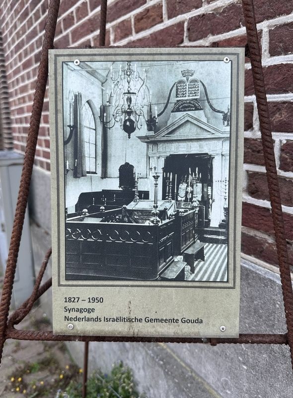
During the early years of the community, the Jews of Gouda gathered to pray in a private residence on the Lange Groenendaal. In 1798, the community purchased a former Anabaptist church building on the Turfmarkt and refurnished it as a synagogue. The building eventually fell into disrepair and was replaced with a new structure built onthe same site in 1827.Photographed by Andrew Ruppenstein, June 21, 20253. Commemorative plaque for former synagogueThis plaque, located to the left of the entrance, commemorates the 1827-1950 period when the building was used as a synagogue by Gouda’s Jewish community.
Credits. This page was last revised on July 11, 2025. It was originally submitted on July 11, 2025, by Andrew Ruppenstein of Lamorinda, California. This page has been viewed 93 times since then and 22 times this year. Photos: 1, 2, 3. submitted on July 11, 2025, by Andrew Ruppenstein of Lamorinda, California.
