Clifford in Wellington County, Ontario — Central Canada (North America)
The Founding of Clifford
1855

Photographed by Tim Boyd, July 4, 2025
1. The Founding of Clifford Marker
To encourage growth, Francis Brown offered free lots to entice potential investors. Construction soon commenced with the establishment of a Flour Mill, Tannery, Foundry, Cabinet Factory, Brewery, Barrel Factory, Wool Mill, and Shoe and Boot Manufacturers.
Brown operated the first Hotel and Sawmill in 1856 and was appointed the first Postmaster. He was elected to Minto Township Council in 1872. Clifford was incorporated as a village in December of 1873 with Absalom Shade Allan as the first Reeve.
The Elora Road through Clifford was completed in 1862 and the railroad in late 1871, bringing an economic boom to the village. By 1881, the population grew to 700. Clifford offered
this page online
Today, century-old businesses Wightman Telecom Ltd. and W.C. Smith Wholesale continue to serve the community.
Clifford amalgamated with Harriston, Palmerston and the Township of Minto in 1999 to form the Town of Minto.
Erected by Town of Minto.
Topics. This historical marker is listed in this topic list: Settlements & Settlers. A significant historical year for this entry is 1855.
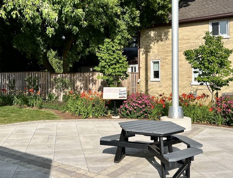
Location. 43° 58.153′ N, 80° 58.695′ W. Marker is in Clifford, Ontario, in Wellington County. It is at the intersection of Elora Street South and Allan Street East, on the right when traveling north on Elora Street South. The marker is in Clifford Rotary Celebration Square. Touch for map. Marker is at or near this postal address: 9 ON-9, Clifford ON N0G 1M0, Canada. Touch for directions.

Regionally, this marker is in the Huron-Perth-Waterloo-Wellington Area and in Southwestern Ontario. It is also in Central Canada. Globally, it is in North America, the Western Hemisphere, the Western World, and the Anglosphere. Historically, it finds itself in what was once a
Photographed by Tim Boyd, July 4, 2025
2. The Founding of Clifford Marker
Other nearby markers. At least 8 other markers are within 21 kilometers of this marker, measured as the crow flies: Mansion House (here, next to this marker); 2 Elora Street (within shouting distance of this marker); Clifford Cenotaph (about 120 meters away, measured in a direct line); Harriston Cenotaph (approx. 10.8 kilometers away); The Founding of Harriston (approx. 10.8 kilometers away); The Rt. Hon. John G. Diefenbaker (approx. 12.5 kilometers away); Hanover Cenotaph (approx. 20.7 kilometers away); The Founding of Hanover / La Fondation de Hanover (approx. 20.8 kilometers away). Touch for a list and map of all markers in Clifford.

Photographed by Tim Boyd, April 7, 2025
3. Elora Street in Clifford, 2025

Photographed by Tim Boyd, July 4, 2025
4. Clifford Rotary Celebration Square
Credits. This page was last revised on July 17, 2025. It was originally submitted on July 12, 2025, by Tim Boyd of Hamilton, Ontario. This page has been viewed 151 times since then and 57 times this year. Photos: 1, 2, 3, 4. submitted on July 12, 2025, by Tim Boyd of Hamilton, Ontario. • Andrew Ruppenstein was the editor who published this page.
