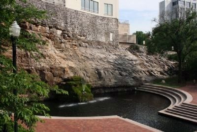
Huntsville in Madison County, Alabama — The American South (East South Central)
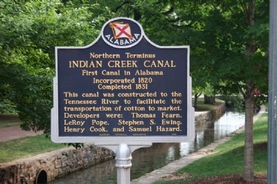
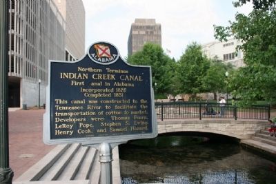
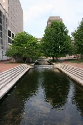
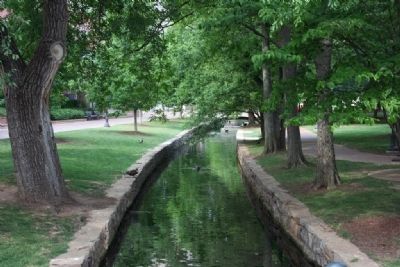
Northern Terminus Indian Creek Canal
First Canal in Alabama
— Incorporated 1820, Completed 1831 —
Erected 1965 by Alabama Historical Association.
Topics and series. This historical marker is listed in these topic lists: Industry & Commerce • Waterways & Vessels. In addition, it is included in the Alabama Historical Association series list. A significant historical year for this entry is 1820.
Location. 34° 43.765′ N, 86° 35.213′ W. Marker is in Huntsville, Alabama, in Madison County. Marker can be reached from Spragins Avenue Northwest east of Church Street Northwest. Located on the north side Constitution Hall Park. Touch for map. Marker is in this post office area: Huntsville AL 35801, United States of America. Touch for directions.
Other nearby markers. At least 8 other markers are within walking distance of this marker. The Spring Runs Its Course (a few steps from this marker); Where Does the Spring Water Go? (within shouting distance of this marker); Making the Water Work (within shouting distance of this marker); Huntsville Utilites Special Awards (within shouting distance of this marker); The Big Spring (within shouting distance of this marker); History at Its Source (within shouting distance of this marker); The Big Spring of Today (within shouting distance of this marker); John Hunt (about 300 feet away, measured in a direct line). Touch for a list and map of all markers in Huntsville.
Credits. This page was last revised on November 2, 2019. It was originally submitted on February 22, 2010, by Timothy Carr of Birmingham, Alabama. This page has been viewed 1,968 times since then and 41 times this year. Photos: 1, 2, 3, 4, 5. submitted on February 22, 2010, by Timothy Carr of Birmingham, Alabama. • Bill Pfingsten was the editor who published this page.
