
Diendorf in Nabburg in Schwandorf, Bavaria, Germany — Central Europe
Pflegschloss
⎯⎯⎯
Governor’s Castle
Photographed by James Hulse, June 30, 2025
1. Pflegschloss / Governor’s Castle Marker

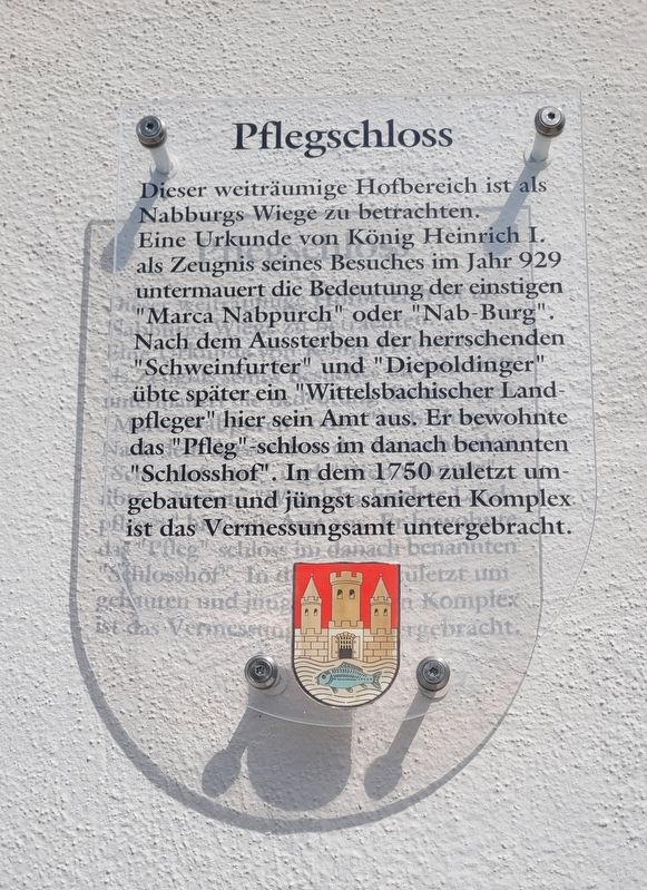
Dieser weiträumige Hofbereich ist als Nabburgs Wiege zu betrachten. Eine Urkunde von König Heinrich I. als Zeugnis seines Besuches im Jahr 929 untermauert die Bedeutung der einstigen "Marca Nabpurch" oder "Nab-Burg". Nach dem Aussterben der herrschenden "Schweinfurter" und "Diepoldinger" übte später ein "Wittelsbachischer Landpfleger" hier sein Amt aus. Er bewohnte das "Pfleg"-schloss im danach benannten "Schlosshof". In dem 1750 zuletzt um-gebauten und jüngst sanierten Komplex ist das Vermessungsamt untergebracht.
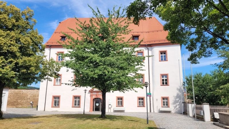
This spacious courtyard area is considered the cradle of Nabburg. A deed from King Henry I, documenting his visit in 929, underscores the importance of the former “Marca Nabpurch” or “Nab-Burg.” After the ruling families of the Schweinfurters and Diepoldingians died out, a Wittelsbach regional governor (Landpfleger) later exercised his office here. He resided in the “Pfleg” Castle within what was subsequently named the Castle Courtyard (Schlosshof). The complex, last rebuilt in 1750 and recently restored, now houses the Cadastral Office (Vermessungsamt).
Erected by Stadt
this page online
Topics. This historical marker is listed in this topic list: Notable Buildings. A significant historical year for this entry is 1750.
Location. 49° 27.349′ N, 12° 10.713′ E. Marker is in Nabburg, Bayern (Bavaria), in Schwandorf. It is in Diendorf. It is on Obertor just north of Spitalgasse. The marker is located on the eastern corner wall of the building. Touch for map. Marker is at or near this postal address: Obertor 12, Nabburg BY 92507, Germany. Touch for directions.

Regionally, it is in Europe, the European Union, Atlantic Europe, Central Europe, the Schengen Area, Western Europe, and the Western World. Historically, it finds itself in what was once the Holy Roman Empire and also the former West Germany.
Other nearby markers. At least 8 other markers are within walking distance of this marker: Fronfeste / Town Prison (within shouting distance of this marker); St. Laurentius / St. Lawrence (within shouting distance of this marker); Obertor / Upper Gate (within shouting distance of this marker); Kath. Jugendwerk / Catholic Youth Center (about 120 meters away, measured in a direct line); Bürgerspital / Old Citizen's Home
Photographed by James Hulse, June 30, 2025
2. Pflegschloss / Governor’s Castle Marker
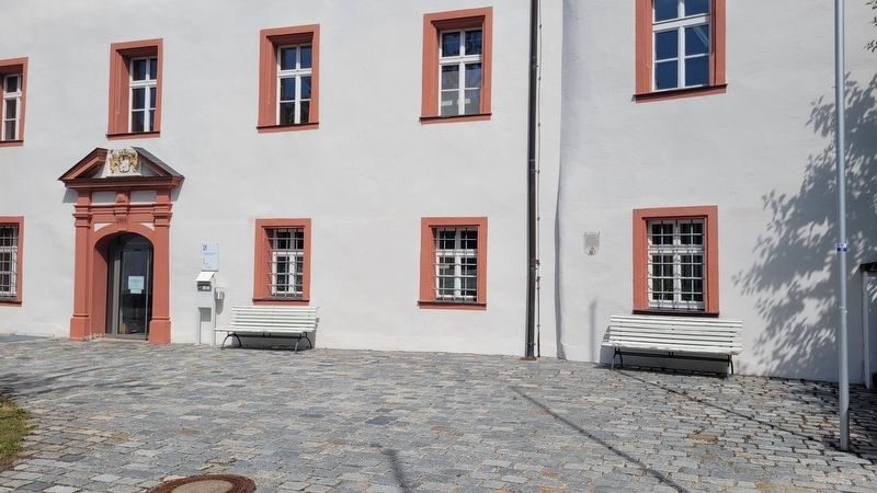
More about this marker. A Pflegschloss was a fortified residence and administrative seat for a Landpfleger, a regional governor or administrator in Bavarian and Austrian territories, especially during the Middle Ages and early modern period. It combined residential, administrative, and sometimes defensive functions.
Photographed by James Hulse, June 30, 2025
3. The Governor’s Castle and Marker
Credits. This page was last revised on July 14, 2025. It was originally submitted on July 13, 2025, by James Hulse of Medina, Texas. This page has been viewed 94 times since then and 24 times this year. Photos: 1, 2, 3. submitted on July 14, 2025, by James Hulse of Medina, Texas.
