
Rievaulx in North Yorkshire, England, United Kingdom — Northwestern Europe (the British Isles)
Landscape and Estates
Rievaulx Abbey
Photographed by Ray Gurganus, April 22, 2025
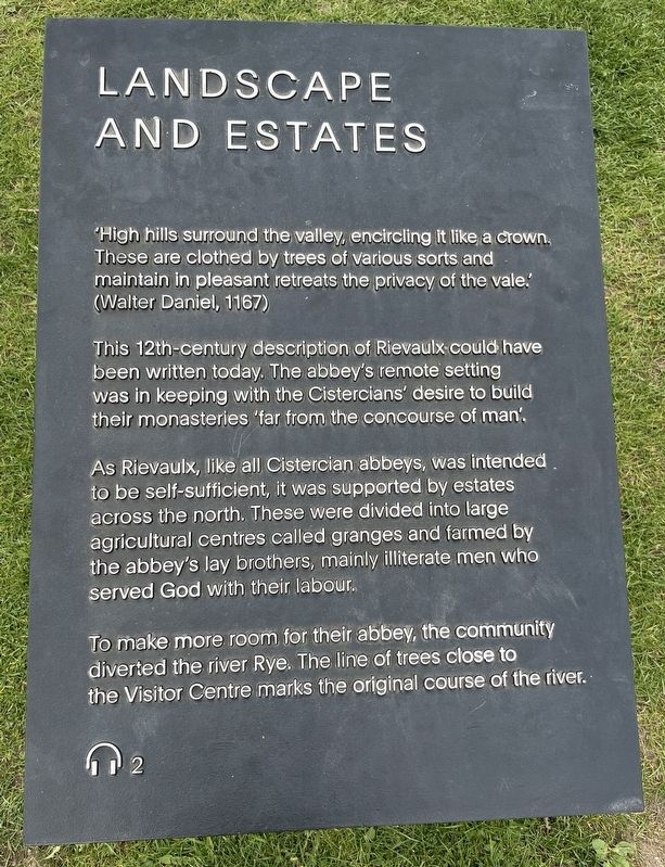
1. Landscape and Estates Marker
This 12th-century description of Rievaulx could have been written today. The abbey's remote setting was in keeping with the Cistercians' desire to build their monasteries 'far from the concourse of man'.
As Rievaulx, like all Cistercian abbeys, was intended to be self-sufficient, it was supported by estates across the north. These were divided into large agricultural centres called granges and farmed by the abbey's lay brothers, mainly illiterate men who served God with their labour.
To make more room for their abbey, the community diverted the river Rye. The line of trees close to the Visitor Centre marks the original course of the river. (Marker Number 2.)
Topics. This historical marker is listed in this topic list: Religion & Religious Structures.
Location. 54° 15.401′ N, 1° 6.991′ W. Marker is in Rievaulx, England, in North Yorkshire. It can be reached from Rievaulx Bank. On
this page online

Regionally, this marker is in England’s Yorkshire & The Humber. Globally, it is on the Atlantic Ocean, in the North Atlantic Region, in Europe, in Atlantic Europe, on one of the British Isles, in the Western World, and in the Anglosphere. Historically, it finds itself in what was once the Roman Empire.
Other nearby markers. At least 8 other markers are within walking distance of this marker: Infirmary (within shouting distance of this marker); Rievaulx Abbey (about 90 meters away, measured in a direct line); Chapter House (about 90 meters away); East End of the Church (about 90 meters away); Reuse and Recycle (about 90 meters away); Down the Drain (about 90 meters away); Crossing (about 120 meters away); Refectory (about 120 meters away). Touch for a list and map of all markers in Rievaulx.

Photographed by Ray Gurganus, April 22, 2025
2. Rievaulx Abbey Ruins
Credits. This page was last revised on July 16, 2025. It was originally submitted on July 13, 2025, by Ray Gurganus of Washington, District of Columbia. This page has been viewed 62 times since then and 9 times this year. Photos: 1, 2. submitted on July 13, 2025, by Ray Gurganus of Washington, District of Columbia. • Andrew Ruppenstein was the editor who published this page.
Editor’s want-list for this marker. photo of the marker within its surroundings • Can you help?
