Mapleton Township in West Fargo in Cass County, North Dakota — The American Midwest (Upper Plains)
Land Office Bank
Photographed by Mark Parker, June 27, 2025
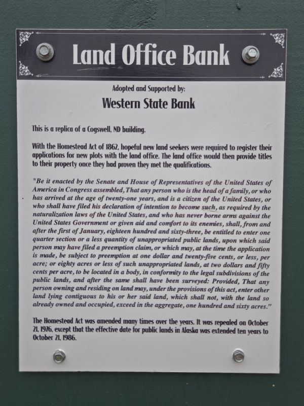
1. Land Office Bank Marker
This is a replica of a Cogswell, ND building.
With the Homestead Act of 1862, hopeful new land seekers were required to register their applications for new plots with the land office. The land office would then provide titles to their property once they had proven they met the qualifications.
"Be it enacted by the Senate and House of Representatives of the United States of America in Congress assembled, That any person who is the head of a family, or who has arrived at the age of twenty-one years, and is a citizen of the United States, or who shall have filed his declaration of intention to become such, as required by the naturalization laws of the United States, and who has never borne arms against the United States Government or given aid and comfort to its enemies, shall, from and after the first of January, eighteen hundred and sixty-three, be entitled to enter one quarter section or a less quantity of unappropriated public lands, upon which said person may have filed a preemption claim, or which may, at the time the application is made, be subject to preemption at one dollar and twenty-five cents, or less, per acre; or eighty acres or less of such unappropriated lands, at two dollars and fifty cents per acre, to be located in a body, in conformity to the legal subdivisions of the public lands, and after the same shall have been surveyed: Provided, That any person owning and residing on land may, under the provisions of this act, enter other land lying contiguous to his or her said land, which shall not, with the land so already owned and occupied, exceed in the aggregate, one hundred and sixty acres."
The
this page online
Topics. This historical marker is listed in this topic list: Settlements & Settlers. A significant historical year for this entry is 1862.
Location. 46° 52.586′ N, 96° 55.641′ W. Marker is in West Fargo, North Dakota, in Cass County. It is in Mapleton Township. It is on Main Avenue West (U.S. 10) east of 21st Street Northwest, on the right when traveling east. The marker is attached to the left door frame of the replica Land Office Bank, which is a part of Bonanzaville USA Historic Museum and Pioneer Village. Touch for map. Marker is at or near this postal address: 1351 Main Avenue W, West Fargo ND 58078, United States of America. Touch for directions.

Regionally, this marker is in the Red River Valley and in Greater Fargo Area. It is also in the American Lewis & Clark Corridor, on the prairies, and on the Northern Plains. Globally, it is in North America, the Western Hemisphere, the Western World, and the Anglosphere. Historically,

Photographed by Mark Parker, June 27, 2025
2. Replica Land Office Bank
Other nearby markers. At least 8 other markers are within walking distance of this marker: A different marker also named Land Office Bank (here, next to this marker); Furnberg Store (a few steps from this marker); Checkered Years House (a few steps from this marker); Habberstad Cabin (a few steps from this marker); North Dakota Jewry (within shouting distance of this marker); Fargo's First House (within shouting distance of this marker); a different marker also named Fargo's First House (within shouting distance of this marker); Buffalo Bandstand (within shouting distance of this marker). Touch for a list and map of all markers in West Fargo.
Credits. This page was last revised on July 21, 2025. It was originally submitted on July 15, 2025, by Mark Parker of Hickory, North Carolina. This page has been viewed 86 times since then and 14 times this year. Photos: 1, 2. submitted on July 15, 2025, by Mark Parker of Hickory, North Carolina. • Andrew Ruppenstein was the editor who published this page.
