Near Westfield in Marquette County, Wisconsin — The American Midwest (Great Lakes)
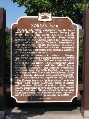
Korean War
Following a series of defeats, General MacArthur launched a daring amphibious landing at Inchon in September 1950 and advanced northward to the Yalu River. Then Communist China massively intervened, and the Allied forces retreated southward. The fighting eventually stabilized along the 38th Parallel, the original boundary between North and South Korea. After a long, bloody stalemate and protracted negotiations, an armistice was signed on July 27, 1953.
The Korean War – or “police action” as it was called – cost 33,629 Americans killed in action and another 103,000 wounded. More than 132,000 Wisconsinites were involved in this “forgotten war,” of whom 801 were killed in action and 4,286 were wounded. Another 111 were captured, and 84 remain listed as missing in action.
Erected 1990 by the Wisconsin Historical Society. (Marker Number 294.)
Topics and series. This historical marker is listed in this topic list: War, Korean. In addition, it is included in the Former U.S. Presidents: #33 Harry S. Truman, and the Wisconsin Historical Society series lists. A significant historical month for this entry is June 1863.
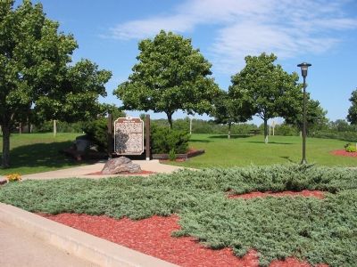
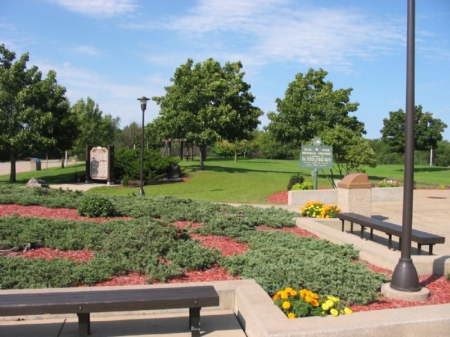
Location. 43° 57.026′ N, 89° 28.962′ W. Marker is near Westfield, Wisconsin, in Marquette County. Marker is on U. S. Highway 51 (Interstate 39 at milepost 117), on the right when traveling north. Marker is at Rest Area 82. Touch for map. Marker is in this post office area: Westfield WI 53964, United States of America. Touch for directions.
Other nearby markers. At least 8 other markers are within 13 miles of this marker, measured as the crow flies. Footprints in the Sands of Time (a few steps from this marker); Russell Flats School (approx. 7.8 miles away); Sacred to the Memory of the Soldiers (approx. 11.8 miles away); Whistler Mound Group and Enclosure (approx. 12.3 miles away); Waushara County World War I Memorial (approx. 12.8 miles away); Waushara County Veterans Memorial (approx. 12.8 miles away); Waushara County Civil War Memorial (approx. 12.8 miles away); Pioneer Wautoma (approx. 12.8 miles away). Touch for a list and map of all markers in Westfield.
Additional keywords.
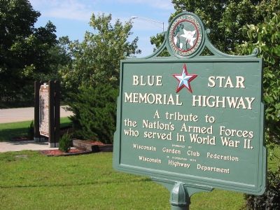
Blue Star Memorial Highway; Korean War Veterans Memorial Highway
Credits. This page was last revised on June 16, 2016. It was originally submitted on October 2, 2007, by Keith L of Wisconsin Rapids, Wisconsin. This page has been viewed 1,499 times since then and 33 times this year. Photos: 1, 2, 3, 4. submitted on October 2, 2007, by Keith L of Wisconsin Rapids, Wisconsin. • J. J. Prats was the editor who published this page.


