Helper in Carbon County, Utah — The American Mountains (Southwest)
The Four Steps Necessary For Mining Coal

Photographed by Jeremy Snow, June 28, 2025
1. The Four Steps Necessary For Mining Coal Marker
1. In the early mines picks were used to break the coal away from the face.
2. Then holes were drilled in the face and dynamite was tamped into the hole and detonated (1900-1950).
3. Machinery was developed in the 1930's that would cut the coal from the face of the coal seam.
(2) Coal must be gathered up and loaded into a conveyance to haul it out of the mine.
1. In the first mines, coal was gathered up and loaded by hand with a coal shovel into a coal car.
2. In the 1930's, machinery was developed that would gather the coal and load it into a coal car.
3. Today, the coal is cut and loaded onto a conveyor belt by the same machine (long-wall mining) at the face.
(3) Coal has to be transported out of the mine.
1. The first coal cars were pushed out of the mine by hand.
2. Then mules were used to pull to coal cars to the partings.
3. Machines were developed to haul the coal cars out of the mine to the tipple
4. Today, the coal is put on conveyor belts and conveyed to the preparation plant.
(4) The coal is prepared and delivered to the consumer.
1.
this page online
2. The coal was brought to the tipple outside the mine where it was sorted, washed and oiled, then loaded onto train cars.
3. Today the coal is delivered from the mine to a preparation plant where it is crushed, washed, then loaded into train cars or trucks for delivery.
Erected by Western Mining & Railroad Museum.
Topics. This historical marker is listed in this topic list: Industry & Commerce.
Location. 39° 40.972′ N, 110° 51.35′ W. Marker is in Helper, Utah, in Carbon County. It is at the intersection of South 100 West and Poplar Street, on the right when traveling south on South 100 West. Part of the Helper Mining Display. Touch for map. Marker is at or near this postal address: 252 S 100 W, Helper UT 84526, United States of America. Touch for directions.

Regionally, this marker is in Canyon Country. It is also in the American Mountain West, on the Colorado Plateau, and at the Four Corners. Globally, it is in North America, the Western Hemisphere, the Western

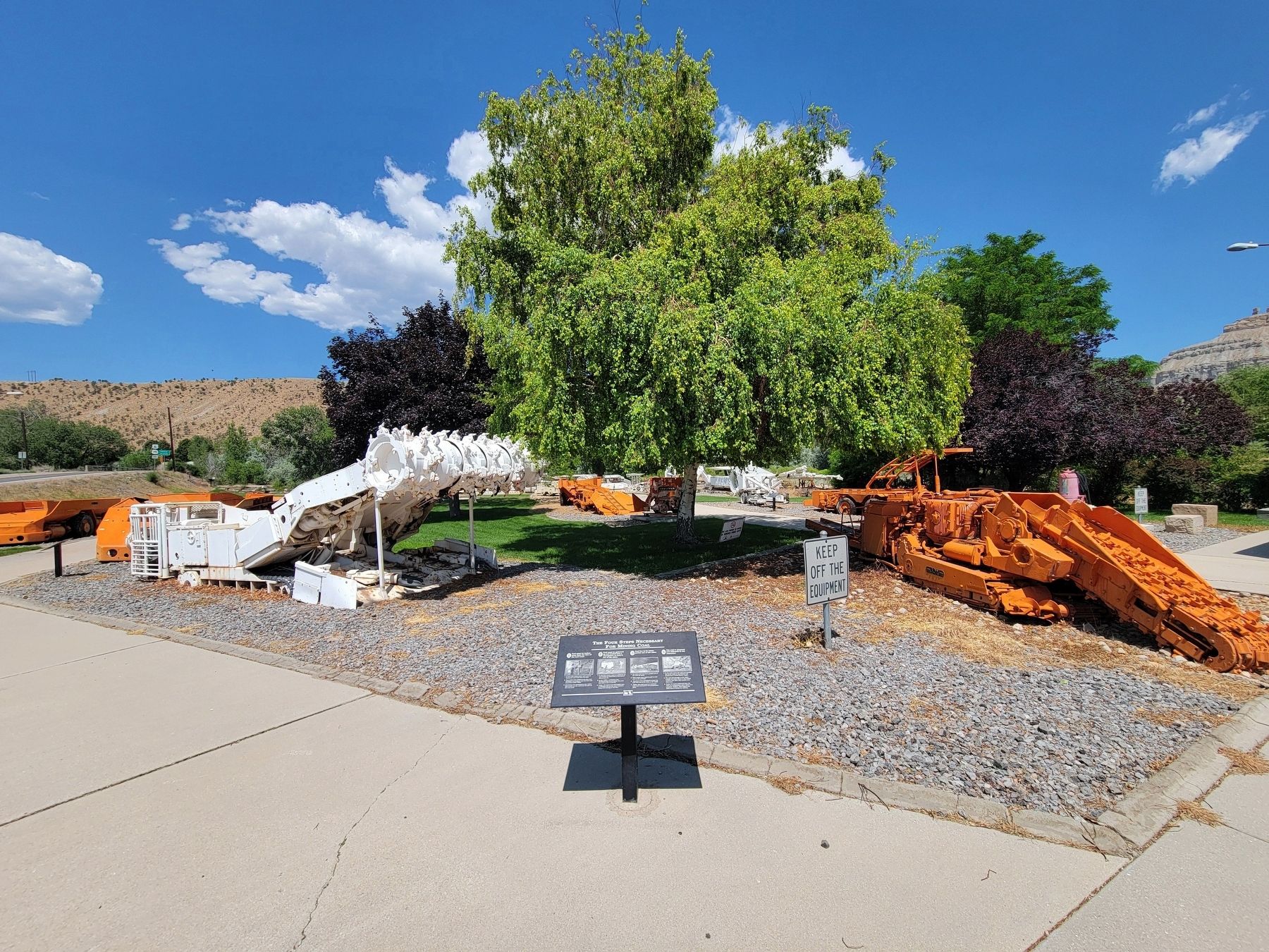
Photographed by Jeremy Snow, June 28, 2025
2. The Four Steps Necessary For Mining Coal Marker
Other nearby markers. At least 8 other markers are within walking distance of this marker: Geneva Coal Mine (a few steps from this marker); Historic Helper (a few steps from this marker); Continous Miner Section (a few steps from this marker); The Mucking Machine (a few steps from this marker); Sullivan Shortwall Machine (a few steps from this marker); Conventional Mining Section (within shouting distance of this marker); Joy Loading Machine (within shouting distance of this marker); Coal Mines of Carbon County Utah (within shouting distance of this marker). Touch for a list and map of all markers in Helper.
Credits. This page was last revised on July 15, 2025. It was originally submitted on July 15, 2025, by Jeremy Snow of Cedar City, Utah. This page has been viewed 109 times since then and 28 times this year. Photos: 1, 2. submitted on July 15, 2025, by Jeremy Snow of Cedar City, Utah. • Andrew Ruppenstein was the editor who published this page.
