
Thorold in Niagara Region, Ontario — Central Canada (North America)
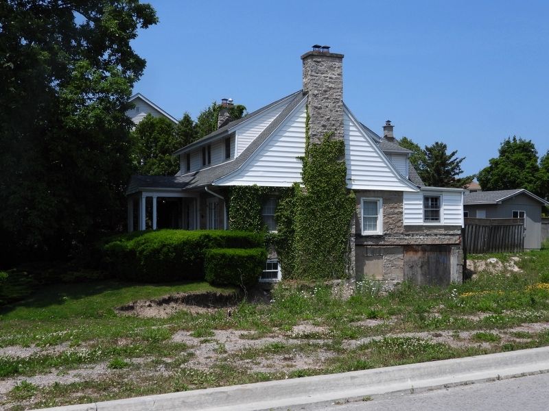
Griffiths House c. 1922

June 22, 2025
1. Griffiths House c. 1922 Marker
Erected 2014 by Heritage Thorold.
Topics. This historical marker is listed in this topic list: Notable Buildings. A significant historical year for this entry is 1922.
Location. Marker is missing. It was located near 43° 6.407′ N, 79° 13.409′ W. Marker was in Thorold, Ontario, in Niagara Region. It was on Decew Road, on the right when traveling west. Touch for map. Marker was at or near this postal address: 1840 Decew Road, Thorold ON L2V 4R7, Canada. Touch for directions.

Regionally, this marker was on Ontario’s Golden Horseshoe and in Niagara Canada.
this page online
Other nearby markers. At least 8 other markers are within 3 kilometers of this location, measured as the crow flies: Old Beaverdams Burying Ground (Smith Cemetery) 1801 (approx. 0.2 kilometers away); The Beaverdams Church 1832 (approx. 0.4 kilometers away); Niagara Region 9/11 Memorial (approx. 1.8 kilometers away); About the Glenridge Quarry Naturalization Site (approx. 1.9 kilometers away); History of the Niagara Escarpment (approx. 1.9 kilometers away); Land Acknowledgement (approx. 1.9 kilometers away); History of the Site - Use as a Quarry and a Landfill (approx. 1.9 kilometers away); Summit Overlook (approx. 2 kilometers away). Touch for a list and map of all markers in Thorold.
Photographed by Kevin Westell, June 14, 2025
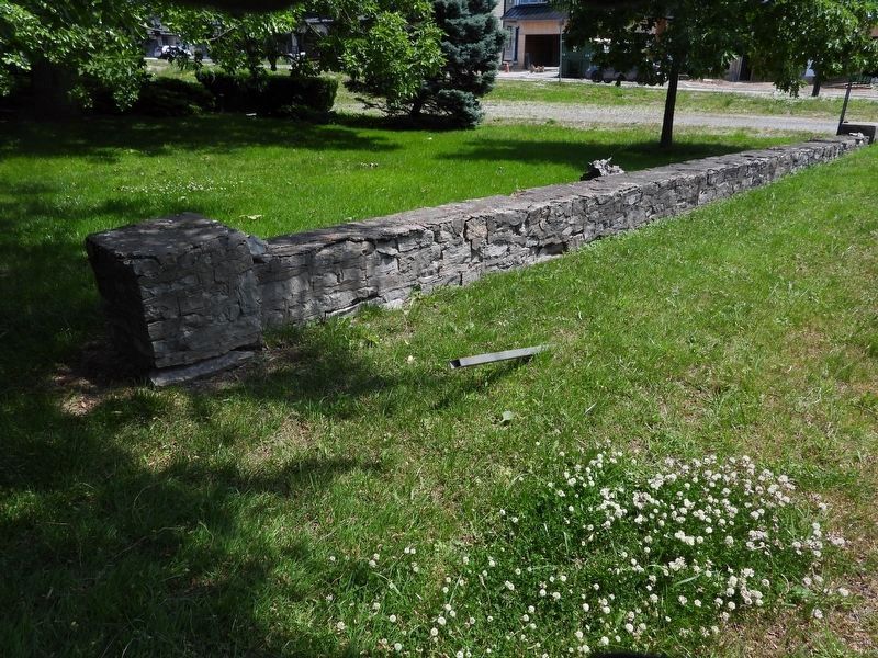
2. Griffiths House c. 1922 - Marker in context
Currently the marker is missing. The post for this marker is beside the road, in front of the stone wall.
Photographed by Kevin Westell, June 14, 2025
3. Griffiths House
Credits. This page was last revised on July 16, 2025. It was originally submitted on June 15, 2025, by Kevin Westell of St. Catharines, Ontario. This page has been viewed 136 times since then and 20 times this year. Last updated on July 15, 2025, by Kevin Westell of St. Catharines, Ontario. Photos: 1, 2, 3. submitted on June 15, 2025, by Kevin Westell of St. Catharines, Ontario. • Devry Becker Jones was the editor who published this page.
