Mt. Juliet in Wilson County, Tennessee — The American South (East South Central)
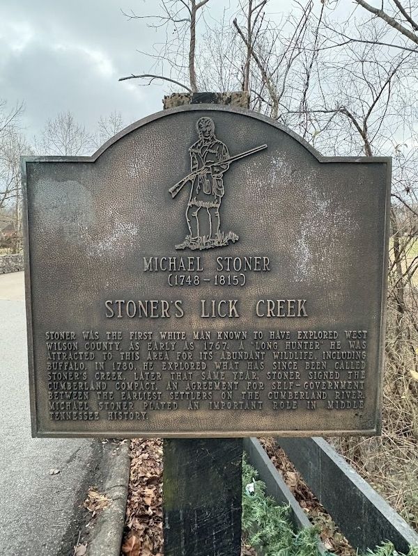
Michael Stoner
(1748-1815)
| — | Stoner's Lick Creek | — |
Photographed by Darren Jefferson Clay, January 1, 2025
1. Michael Stoner (1748 - 1815) Marker
Topics. This historical marker is listed in these topic lists: Exploration • Settlements & Settlers. A significant historical year for this entry is 1767.
Location. 36° 12.284′ N, 86° 32.156′ W. Marker is in Mt. Juliet, Tennessee, in Wilson County. It is on Brookstone Blvd. south of W Division St, on the right when traveling south. Touch for map. Marker is at or near this postal address: Brookstone Blvd, Mount Juliet TN 37122, United States of America. Touch for directions.

Regionally, this marker is in Middle Tennessee and in Greater Nashville. It is also in the American South and specifically in the Upper South. Globally, it is in North America, the Western
this page online
Other nearby markers. At least 8 other markers are within 4 miles of this marker, measured as the crow flies: Cloyd's Cumberland Presbyterian Church (approx. 0.4 miles away); This Building is Dedicated to Tracy Lawrence (approx. one mile away); Williamson Family Cemetery (approx. 1.3 miles away); Dedicated to the Honor and Sacrifice of Our Men and Women Who Served Our Country (approx. 1.8 miles away); Charlie Daniels (approx. 1.9 miles away); Williamson Chapel Complex (approx. 3 miles away); New Hope Baptist Church (approx. 3.6 miles away); Andrew Jackson Donelson (approx. 3.8 miles away). Touch for a list and map of all markers in Mt. Juliet.
Photographed by Darren Jefferson Clay, January 1, 2025
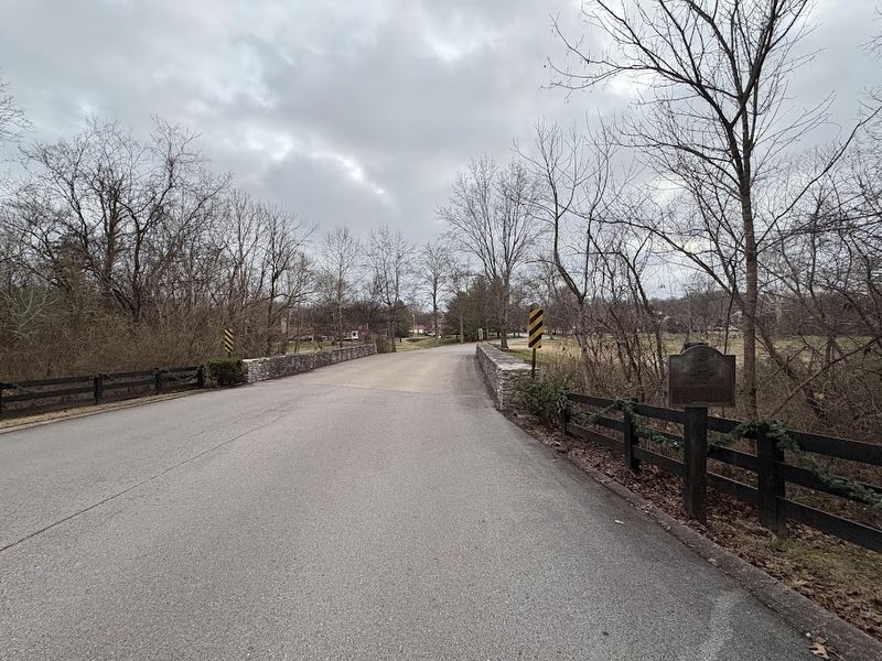
2. Michael Stoner (1748 - 1815) Marker
Photographed by Darren Jefferson Clay, January 1, 2025
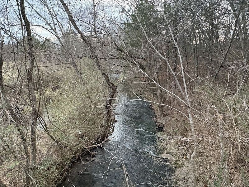
3. Looking south down Stoner's Creek
Credits. This page was last revised on July 17, 2025. It was originally submitted on July 16, 2025, by Darren Jefferson Clay of Duluth, Georgia. This page has been viewed 148 times since then and 32 times this year. Photos: 1, 2, 3. submitted on July 16, 2025, by Darren Jefferson Clay of Duluth, Georgia. • James Hulse was the editor who published this page.
