
Rievaulx in North Yorkshire, England, United Kingdom — Northwestern Europe (the British Isles)
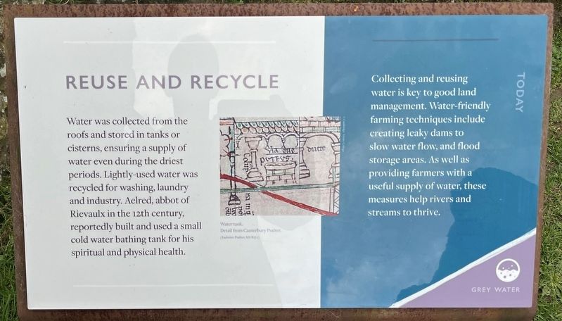
Reuse and Recycle
Photographed by Ray Gurganus, April 22, 2025
1. Reuse and Recycle Marker
Collecting and reusing water is key to good land management. Water-friendly farming techniques include creating leaky dams to slow water flow, and flood storage areas. As well as providing farmers with a useful supply of water, these measures help rivers and streams to thrive.
Topics. This historical marker is listed in this topic list: Religion & Religious Structures.
Location. 54° 15.454′ N, 1° 7.021′ W. Marker is in Rievaulx, England, in North Yorkshire. It can be reached from Rievaulx Bank. On the grounds of Rievaulx Abbey. Touch for map. Marker is at or near this postal address: Rievaulx Bank, Rievaulx, England YO62 5LB, United Kingdom. Touch for directions.

Regionally, this marker is in England’s Yorkshire & The Humber.
this page online
Other nearby markers. At least 8 other markers are within walking distance of this marker: Refectory (a few steps from this marker); Chapter House (within shouting distance of this marker); Infirmary (within shouting distance of this marker); A Spiritual Place (within shouting distance of this marker); Cloister (within shouting distance of this marker); East End of the Church (within shouting distance of this marker); Crossing (within shouting distance of this marker); Landscape and Estates (about 90 meters away, measured in a direct line). Touch for a list and map of all markers in Rievaulx.
Photographed by Ray Gurganus, April 22, 2025
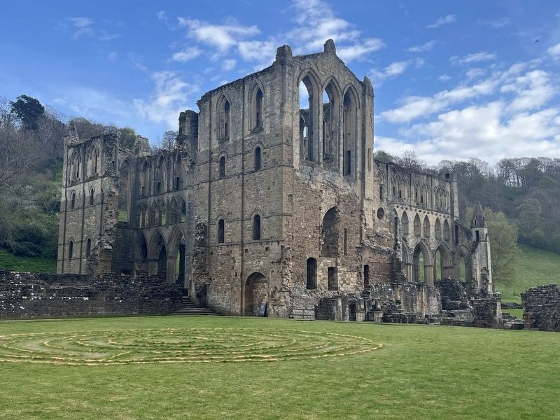
2. Rievaulx Abbey Ruins
Credits. This page was last revised on July 17, 2025. It was originally submitted on July 16, 2025, by Ray Gurganus of Washington, District of Columbia. This page has been viewed 65 times since then and 13 times this year. Photos: 1, 2. submitted on July 16, 2025, by Ray Gurganus of Washington, District of Columbia. • Andrew Ruppenstein was the editor who published this page.
