
Conisbrough in South Yorkshire, England, United Kingdom — Northwestern Europe (the British Isles)
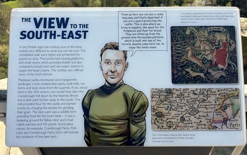
The View to the South-east
Conisbrough Castle
Photographed by Ray Gurganus, April 20, 2025
1. The View to the South-east Marker
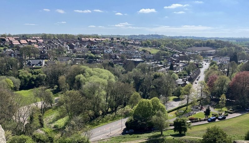
Medieval castles dominated and changed the landscape. Lords created deer parks, built mills, ran farms and took stone from the quarries. If you stood here in the 12th century you would have seen the Conisbrough mill down by the Kearsley Brook and a deer park further away to the south. The mill provided flour for the castle and earned money by charging the tenants for grinding their grain. The deer park was a wildlife farm providing food for the lord's table - it was a breeding ground for fallow deer and it had rabbit warrens and fish ponds. Some place names, for example, Conisbrough Parks, Park Lane and Conisbrough Parks Farm still indicate the existence of the deer park.
Topics. This historical marker is listed in this topic list: Forts and Castles.
Location.
this page online

Regionally, this marker is in England’s Yorkshire & The Humber. Globally, it is on the Atlantic Ocean, in the North Atlantic Region, in Europe, in Atlantic Europe, on one of the British Isles, in the Western World, and in the Anglosphere. Historically, it finds itself in what was once the Roman Empire.
Other nearby markers. At least 8 other markers are within walking distance of this marker: The View to the South-west (here, next to this marker); The Entrance Chamber and Basement (a few steps from this marker); The Lord's Home (a few steps from this marker); The View into the Inner Bailey (a few steps from this marker); The View North (a few steps from this marker); Food for the Lord's Table (a few steps from this marker); Protecting the Castle (within shouting distance of this marker); Domestic
Photographed by Ray Gurganus, April 20, 2025
2. Current view to the southeast
Credits. This page was last revised on July 19, 2025. It was originally submitted on July 16, 2025, by Ray Gurganus of Washington, District of Columbia. This page has been viewed 84 times since then and 15 times this year. Photos: 1, 2. submitted on July 16, 2025, by Ray Gurganus of Washington, District of Columbia. • Andrew Ruppenstein was the editor who published this page.
