
Windsor in Essex County, Ontario — Central Canada (North America)
St. John’s Church
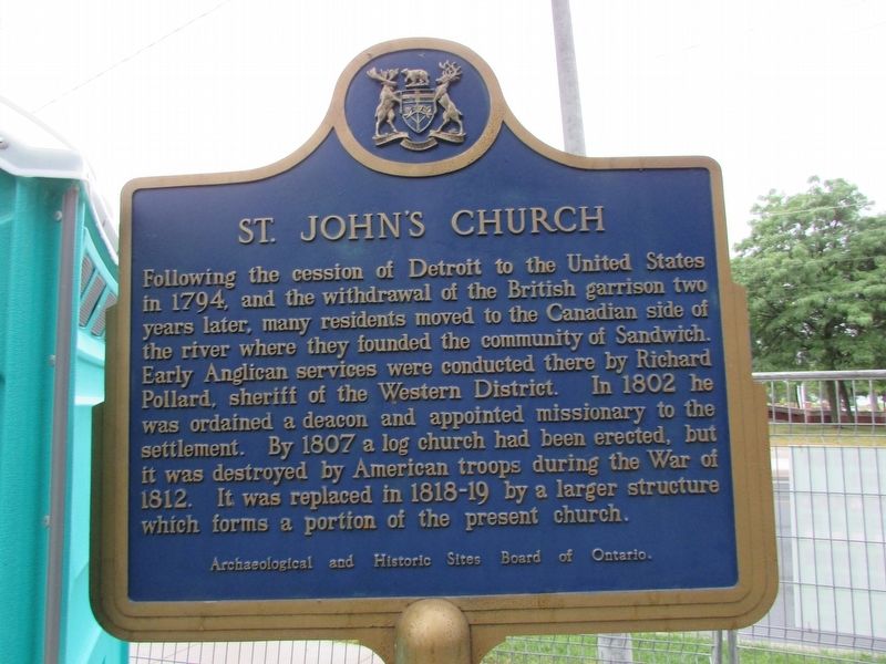
Photographed by Bill Coughlin, July 9, 2024
1. St. John’s Church Marker
Following the cession of Detroit to the United States in 1794, and the withdrawal of the British garrison two years later, many residents moved to the Canadian side of the river where they founded the community of Sandwich. Early Anglican services were conducted there by Richard Pollard, sheriff of the Western District. In 1802, he was ordained a deacon and appointed missionary to the settlement. By 1807, a log church had been erected, but it was destroyed by American troops during the War of 1812. It was replaced in 1818-19 by a larger structure which forms a portion of the present church.
Erected by Archaeological and Historic Sites Board of Ontario.
Topics and series. This historical marker is listed in this topic list: Religion & Religious Structures. In addition, it is included in the Canada, Ontario Heritage Trust series list. A significant historical year for this entry is 1794.
Location. 42° 17.973′ N, 83° 4.62′ W. Marker is in Windsor, Ontario, in Essex County. It is on Sandwich Street near Brock Street, on the left. Touch for map. Marker is at or near this postal address: 3305 Sandwich Street, Windsor ON
this page online

Regionally, this marker is in the Southwest Ontario Area and in Southwestern Ontario. It is also in Central Canada. Globally, it is in North America, the Western Hemisphere, the Western World, and the Anglosphere. Historically, it finds itself in what was once a British colony, the Viceroyalty of New France, the Haudenosaunee (Iroquois) Confederacy, and Rupert’s Land.
Other nearby markers. At least 8 other markers are within walking distance of this marker: The Stone College (within shouting distance of this marker); The Hon. Alexander Grant 1734-1813 (within shouting distance of this marker); 1872 (within shouting distance of this marker); Gregory Robert McGregor Esq. (within shouting distance of this marker); District Court House and Gaol (within shouting distance of this marker); William Dummer Powell (about 120 meters away, measured in a direct line); Mary and Henry Bibb (about 120 meters away); The Battle of Windsor (approx. 0.3 kilometers away). Touch for a list and map of all markers in Windsor.
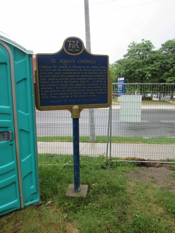
Photographed by Bill Coughlin, July 9, 2025
2. St. John’s Church Marker
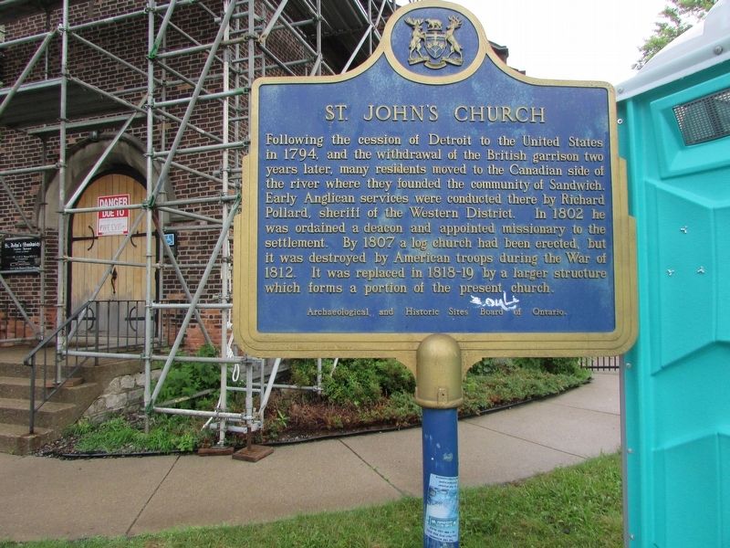
Photographed by Bill Coughlin, July 9, 2025
3. St. John’s Church Marker
Credits. This page was last revised on December 21, 2025. It was originally submitted on July 17, 2025, by Bill Coughlin of Woodland Park, New Jersey. This page has been viewed 100 times since then and 13 times this year. Photos: 1, 2, 3. submitted on July 17, 2025, by Bill Coughlin of Woodland Park, New Jersey.
