
Helper in Carbon County, Utah — The American Mountains (Southwest)
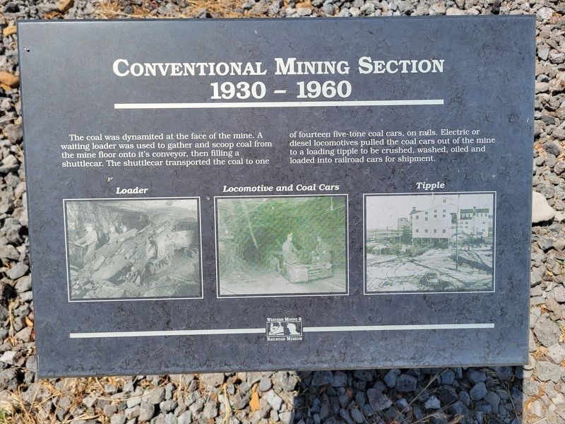
Conventional Mining Section
1930-1960
Photographed by Jeremy Snow, June 28, 2025
1. Conventional Mining Section Marker
Topics. This historical marker is listed in this topic list: Industry & Commerce. A significant historical year for this entry is 1930.
Location. 39° 40.98′ N, 110° 51.367′ W. Marker is in Helper, Utah, in Carbon County. It is on South 100 West. Marker located in the Helper Mining Display. Touch for map. Marker is at or near this postal address: 252 S 100 W, Helper UT 84526, United States of America. Touch for directions.

Regionally, this marker is in Canyon Country. It is also in the American Mountain West, on the Colorado Plateau, and at the Four Corners. Globally, it is in North America, the Western Hemisphere, the Western World, and the Anglosphere. Historically, it finds itself in what was once New

this page online
Other nearby markers. At least 8 other markers are within walking distance of this marker: The Mucking Machine (here, next to this marker); Sullivan Shortwall Machine (here, next to this marker); Joy Loading Machine (a few steps from this marker); Coal Mines of Carbon County Utah (a few steps from this marker); Continous Miner Section (a few steps from this marker); Geneva Coal Mine (within shouting distance of this marker); Historic Helper (within shouting distance of this marker); The Four Steps Necessary For Mining Coal (within shouting distance of this marker). Touch for a list and map of all markers in Helper.
Photographed by Jeremy Snow, June 28, 2025
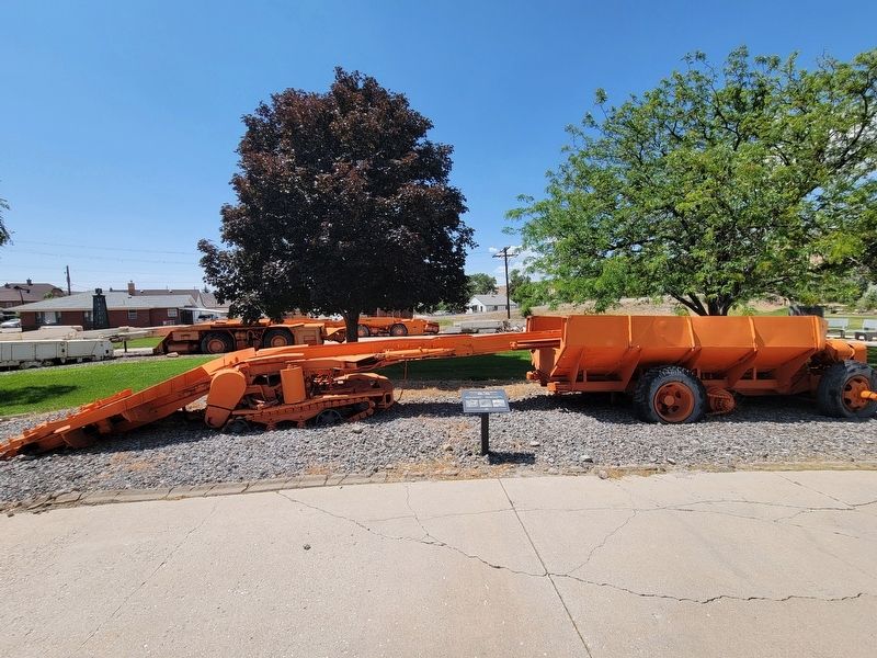
2. Conventional Mining Section Marker
Credits. This page was last revised on July 18, 2025. It was originally submitted on July 18, 2025, by Jeremy Snow of Cedar City, Utah. This page has been viewed 85 times since then and 12 times this year. Photos: 1, 2. submitted on July 18, 2025, by Jeremy Snow of Cedar City, Utah. • Andrew Ruppenstein was the editor who published this page.
